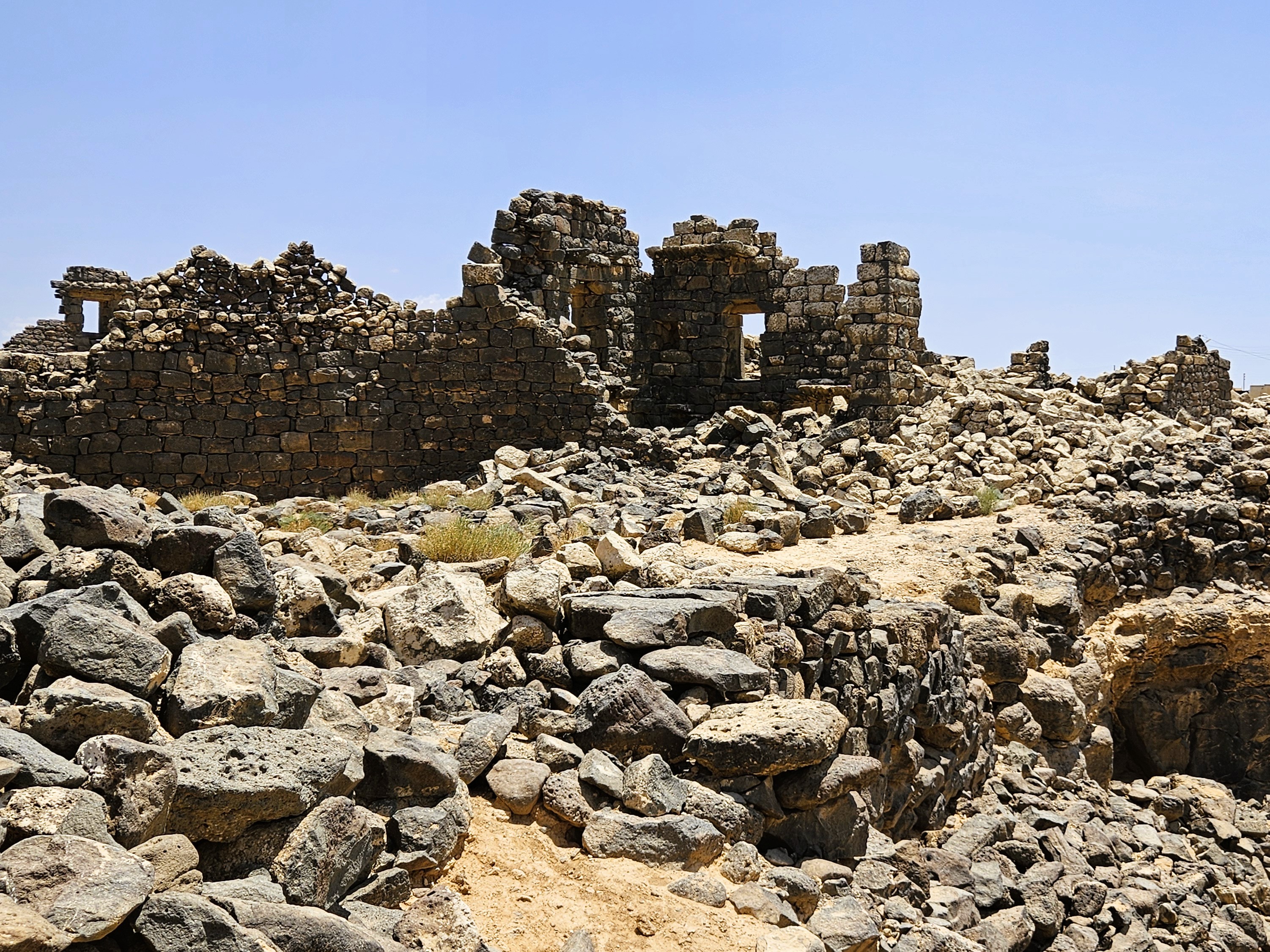
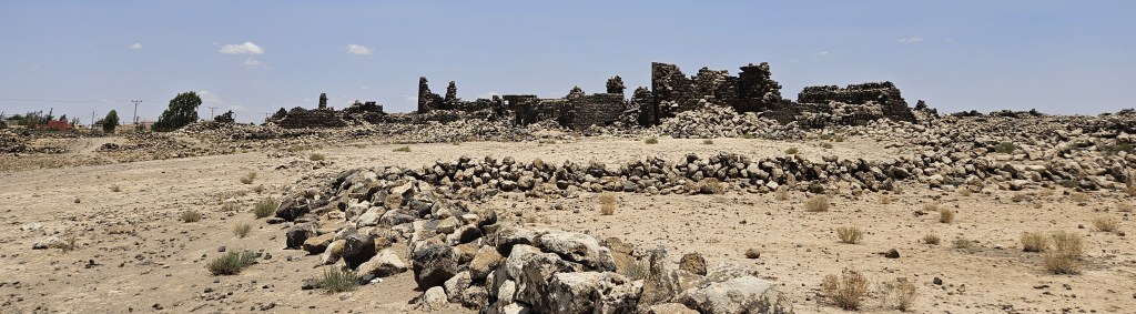
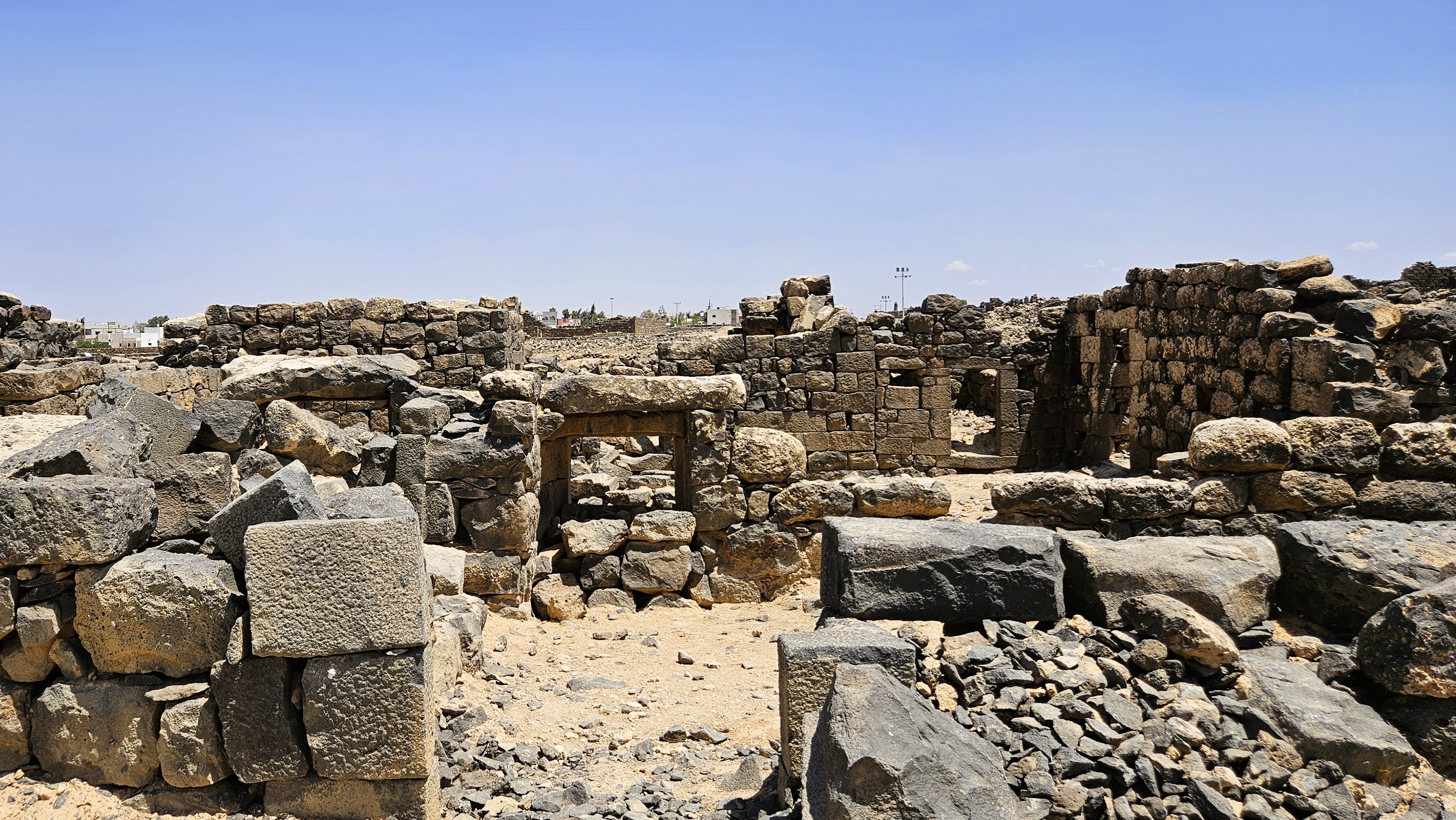
Our archaeologist guide, the reason we rushed to squeeze in this visit to rural Mafrag before his Fulbright grant period came to an end, suggested that we spend some time exploring other ordinary houses in the several residential neighborhoods of Umm Al Jimaal, and on another visit, I’d definitely take that advice. Unfortunately, we had our own time constraints, so after House XVII and House XVIII, we mostly saw monumental structures of the town: churches, government offices, the barracks.
But first, since I ended Part 1 with private water systems, I want to start here with the public water systems that make this community in the basalt Black Desert possible.
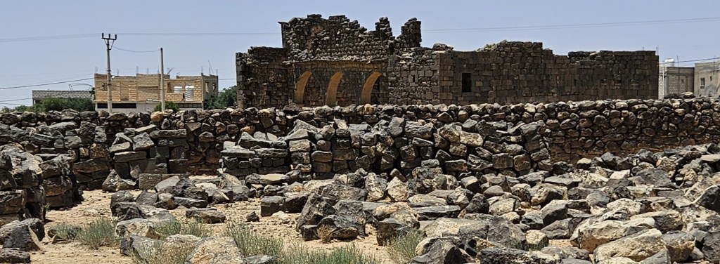
Public Cisterns
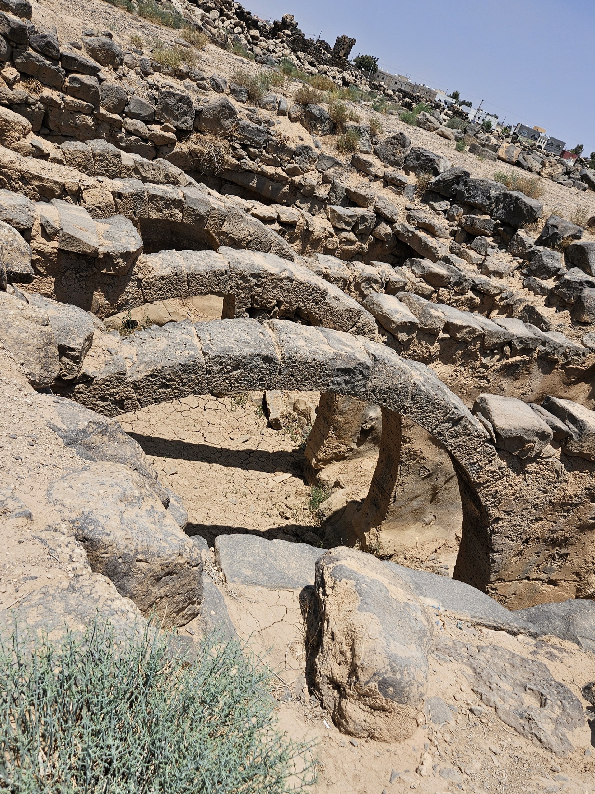
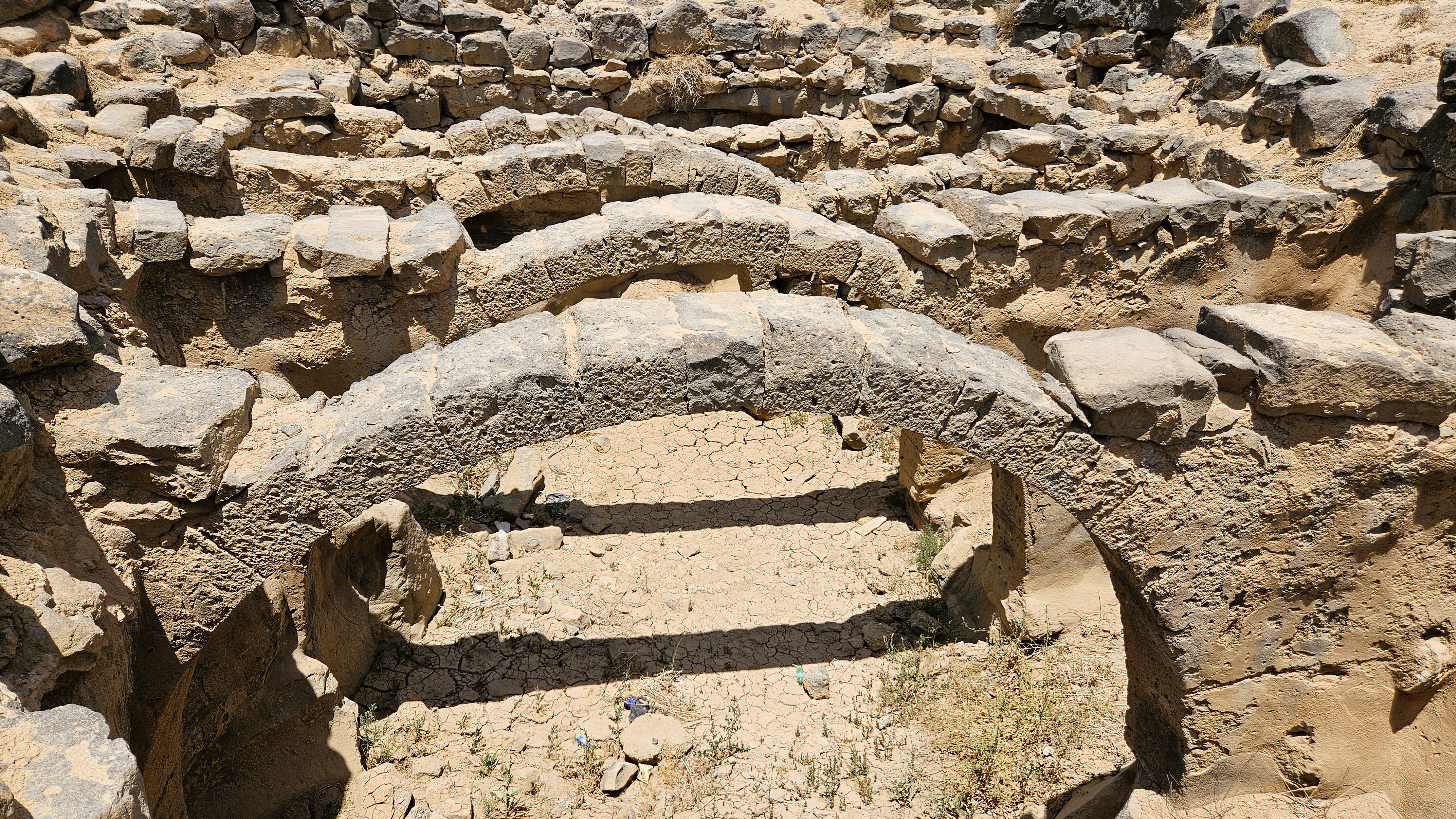
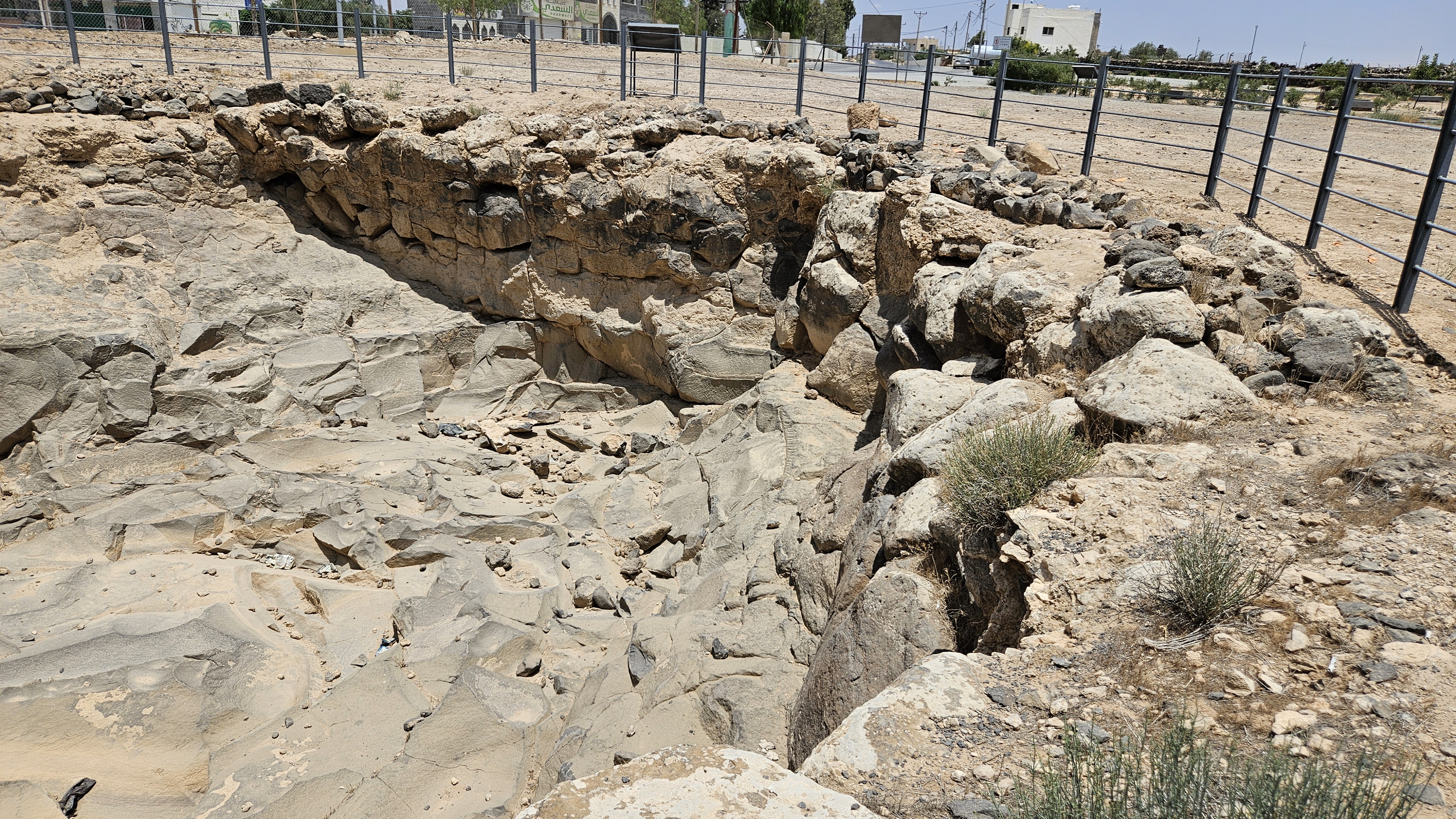
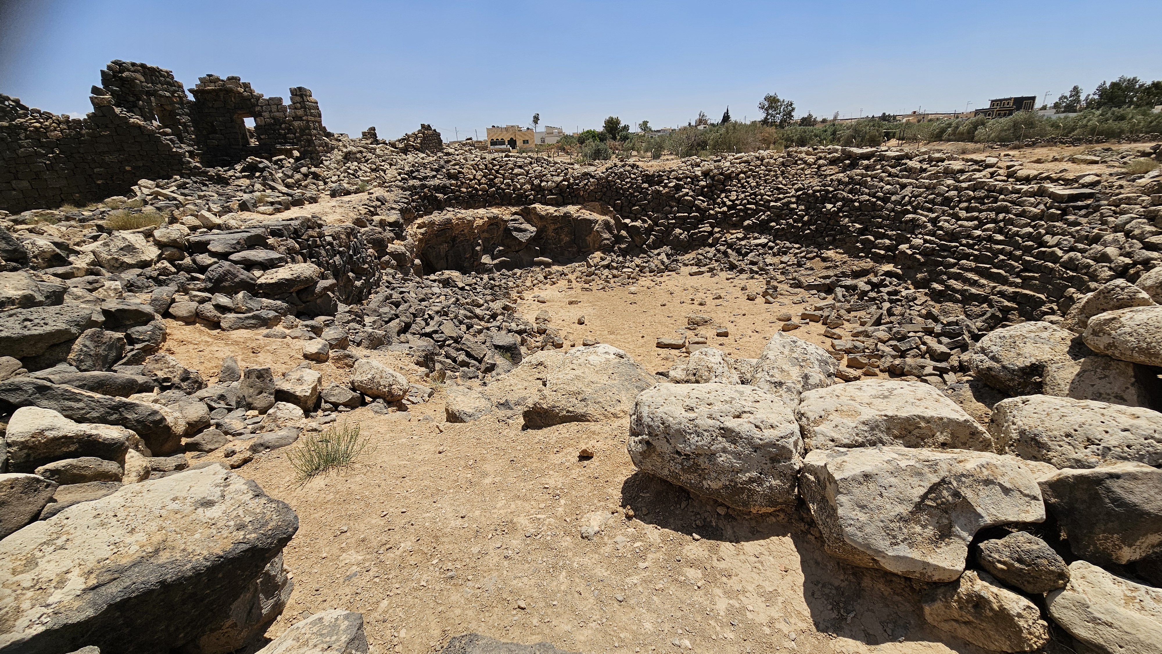
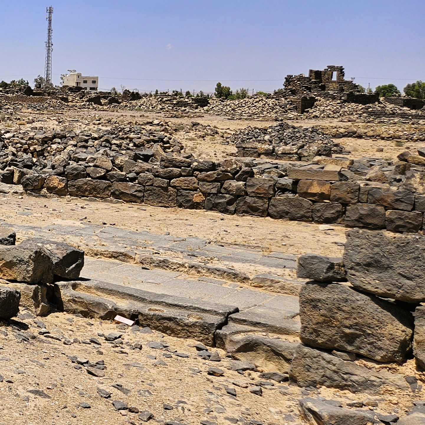
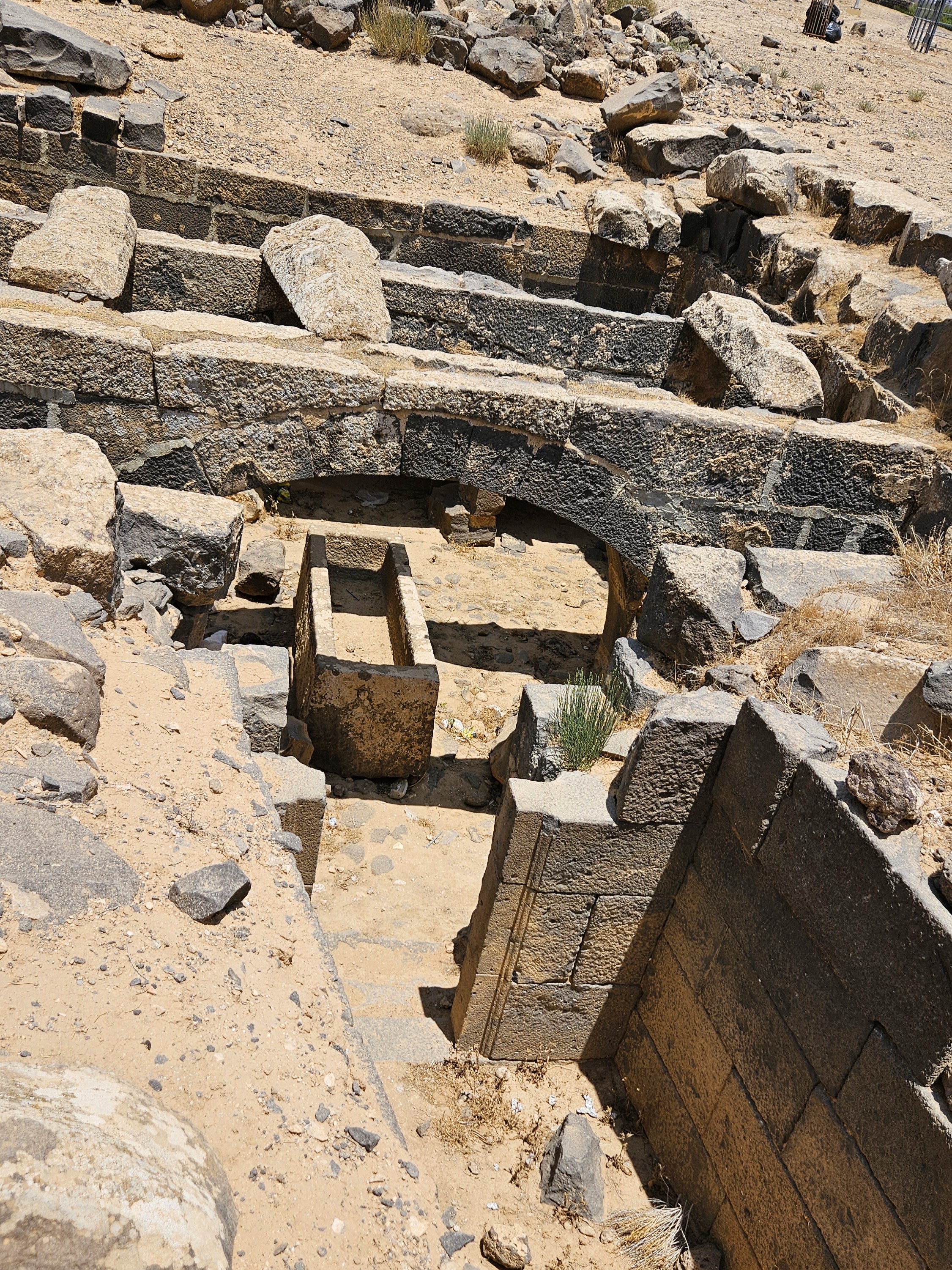
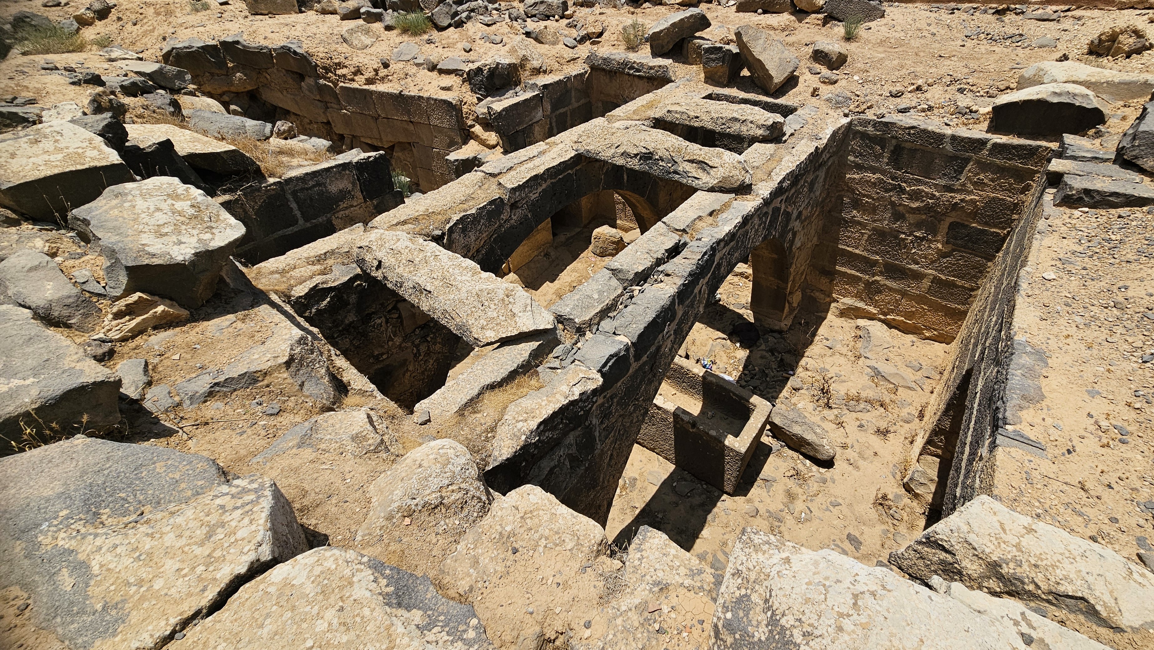
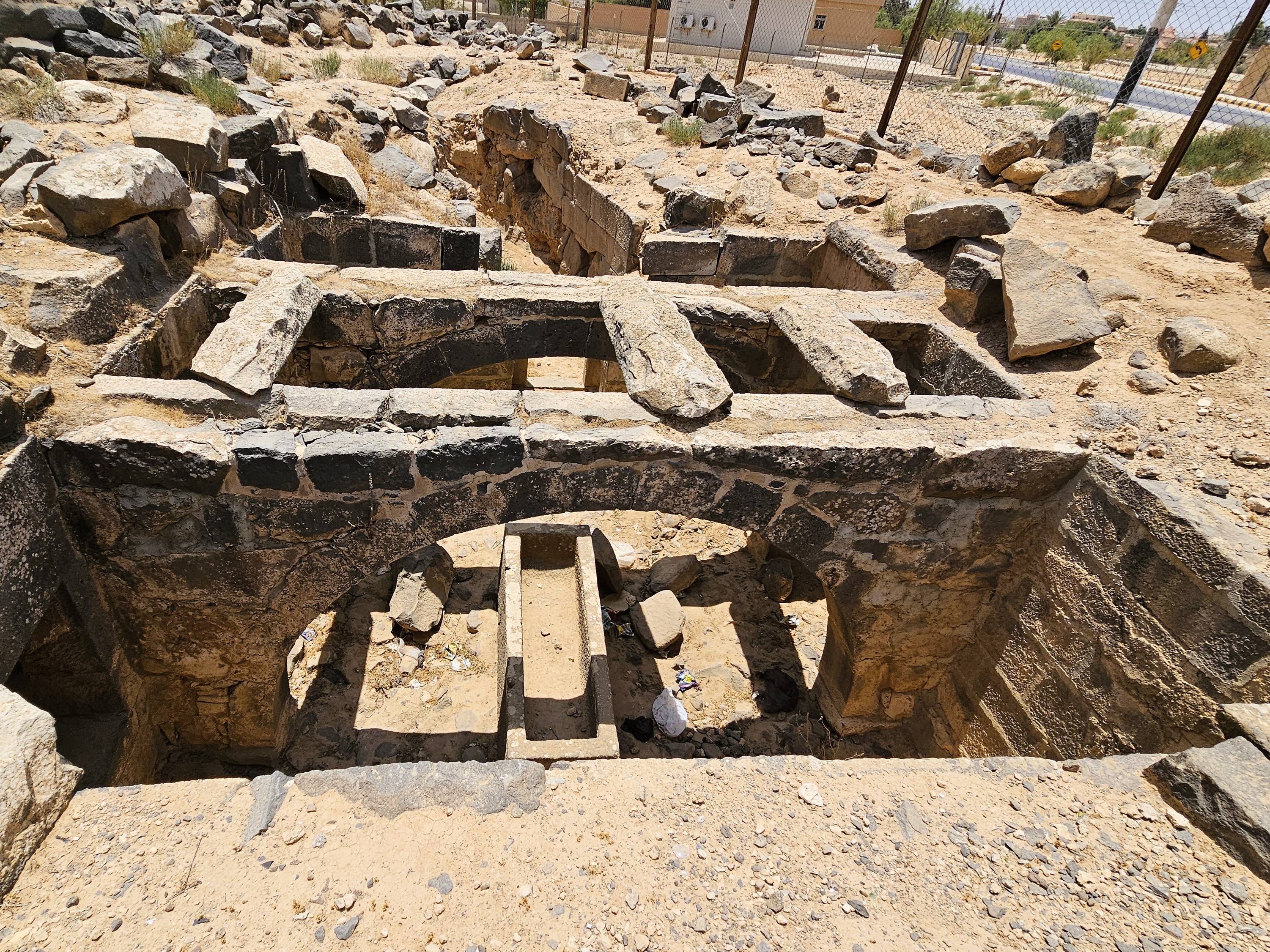
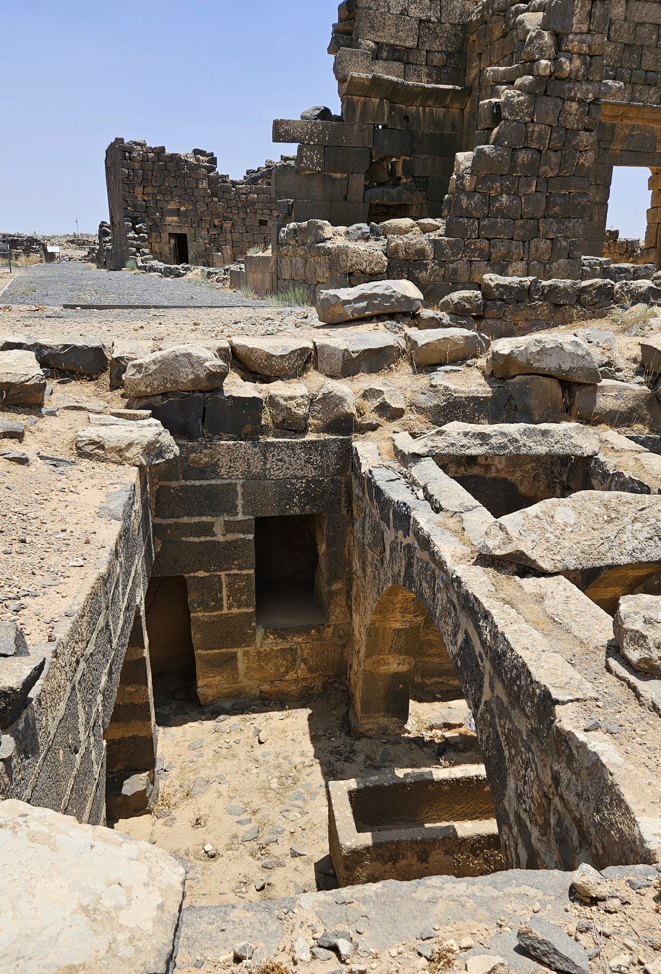
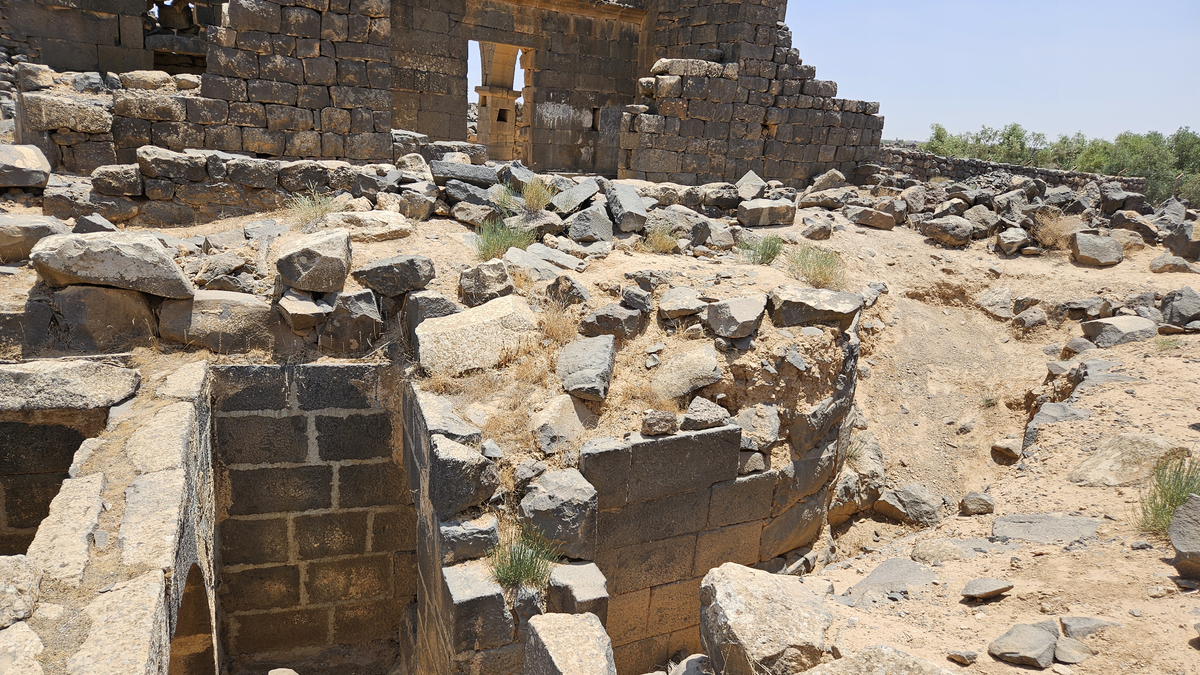
As I described before, Umm Al Jimaal sits at the confluence of three seasonal wadis that, with characteristic Nabatean genius, feed into a water system that supplies the city’s citizens throughout the year and even through several years of drought. Water is directed through a web of covered canals throughout city streets. Some of them lead into the private cisterns of wealthier families like House XVII and House XVIII, while other canals fill shared public cisterns, altogether more than forty reservoirs.
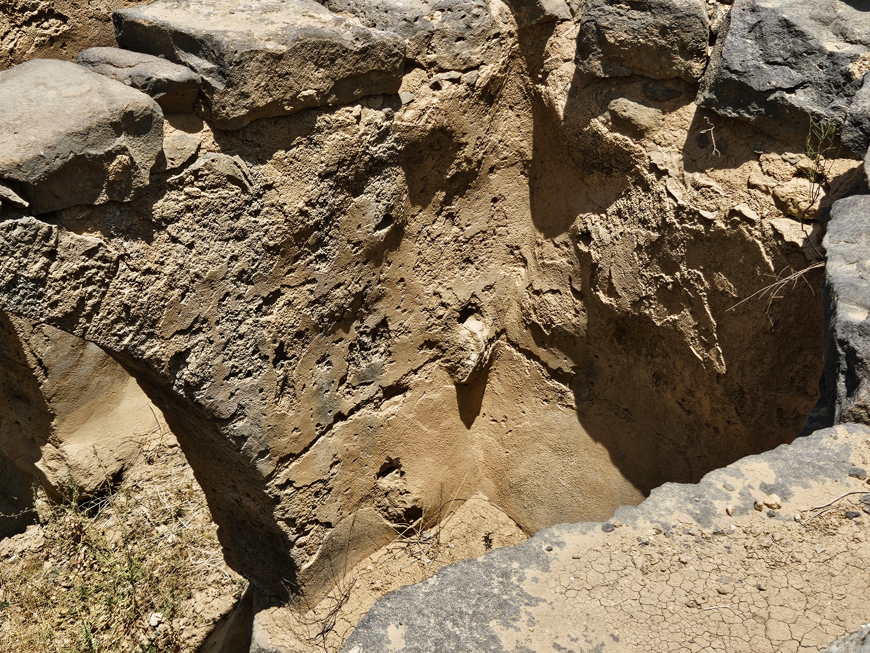
Cisterns for human consumption were covered with stone rooves, supported by arches and corbelling, and painted with plaster to smooth out the stone surfaces and keep the water cleaner.
Other cisterns were left open to the air, and were used to water livestock and otherwise support agriculture in the community.
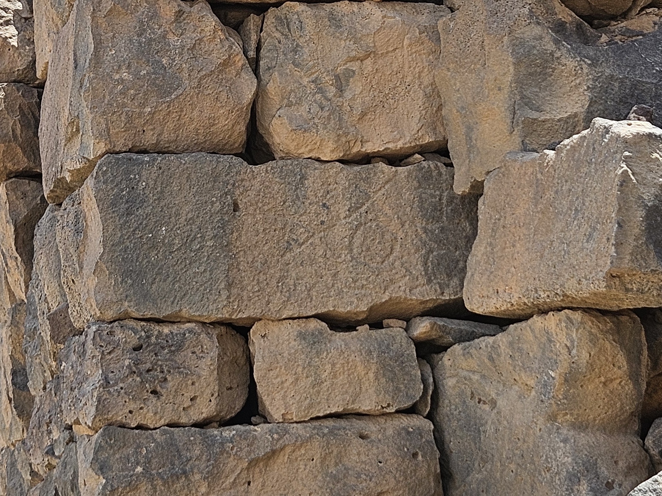
While home cisterns were likely mostly purpose built, public and agricultural cisterns could be repurposed from basalt quarries around town. All the stone building materials in the Basalt City were locally sourced, quarried right within city limits, and quarry marks are still visible where the cisterns’ plaster has worn away.

Cracked mud in the sediment now at the bottom of some of these cisterns is proof that they still fill in the rainy winter season. Our archaeologist guide said that in the excavation process, they’ve sometimes come across low walls between sites that were on or near the surface without buried foundations, and with none of the characteristics of Nabatean, Roman or Byzantine architectural styles. Eventually, they realized that Bedouin or Druze in the late twentieth century were still actively diverting water into cisterns and reservoirs for themselves and their flocks.
In fact, in the 1950s, an American foreign aid program that was a precursor to the recently terminated U.S. Agency for International Development (USAID) re-plastered the largest reservoir, which probably supplied the adjacent Castellum or Roman fort. The restored reservoir provided water for agricultural purposes for the town of Umm Al Jimaal for more than half a century.
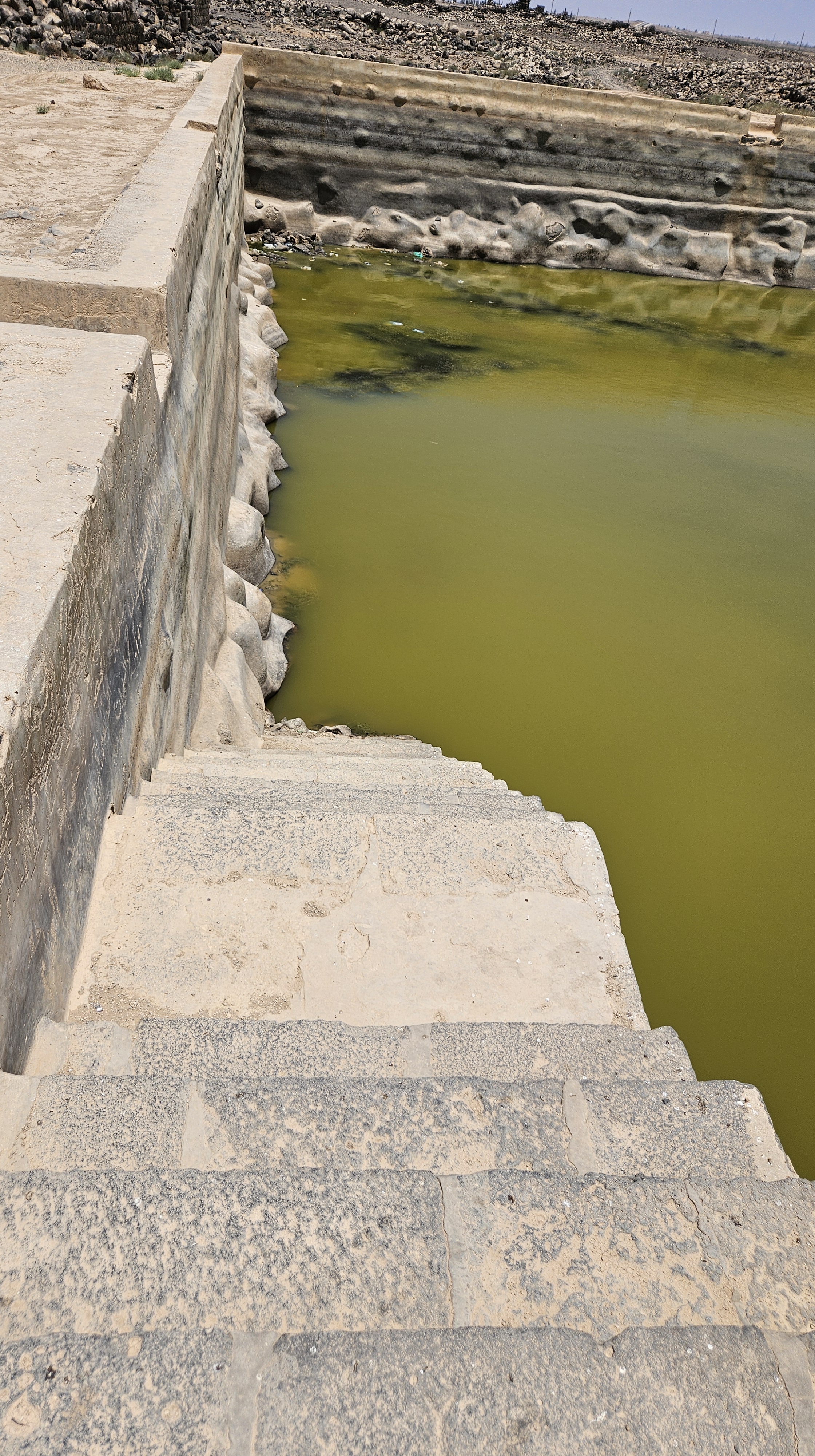
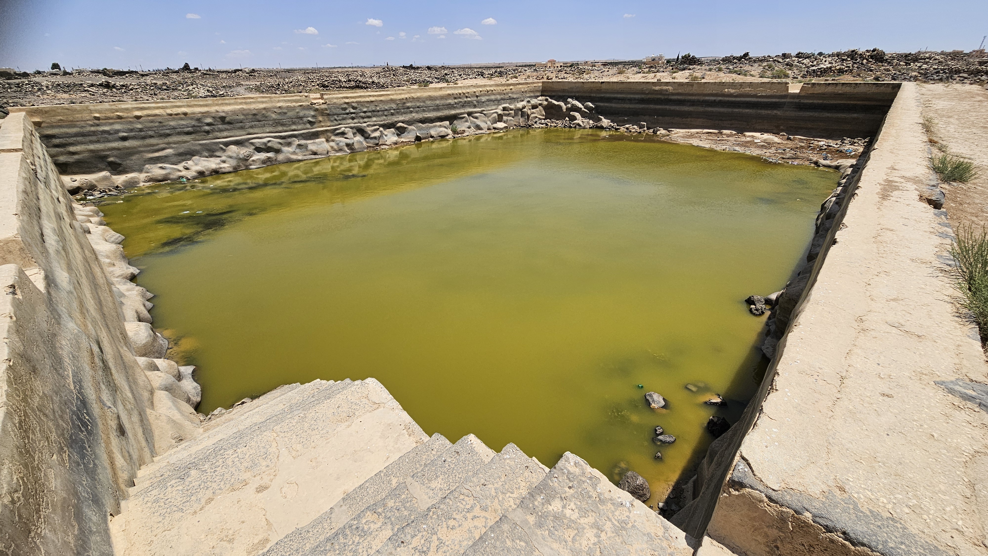
On the day of our visit, the water had attracted crested lark, European greenfinch, swallows and spur-winged lapwing.

A Quick Timeline of a Long History
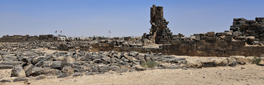
The town of Umm Al Jimaal, as I’ve said, was probably first settled by the Nabateans in the first century as a suburb of their new capital at Bosra. Then the Romans took control under Emperor Trajan in 106 AD, which eventually became the Byzantine Christian empire in the fifth century. The fifth and sixth centuries were the height of Umm Al Jimaal’s prosperity, including the building of at least fifteen churches. That prosperity continued after the first generation of Muslims took control in 640 AD.
Some say that the decline of Umm Al Jimaal began with the Galilee earthquake(s) of 749 AD. The Jordan River Valley is technically the northernmost point of the Great Rift Valley, also known as the Afro-Arabian Rift System, and earthquakes are not uncommon in Palestine and Syria; I’ve experienced a few myself. The 749 earthquake, with its epicenter roughly between the Dead Sea and the Sea of Galilee, was probably about a 7.0, approaching the strength of the devastating 2023 earthquake in Syria and Turkey. Many of the Roman Decapolis cities sustained extensive damage in 749 AD, including Gedara (Umm Qais) and Gerasa (Jerash), which did mark the start of their decline.
Our archaeologist guide has a different explanation for the decline of Umm Al Jimaal. The Galilee earthquake actually seems to have done minimal damage to the buildings of Umm Al Jimaal, but other factors had been at play in the region by then. Throughout the sixth century, there had been periodic outbreaks of the Justinian Plague, what would later be known as the Black Death in Europe. The climate was also changing, becoming drier.
Perhaps most critically, there was a change in Muslim empires around the same time as the Galilee earthquake, shifting the center of power from the Umayyad caliphate based nearby in Damascus, to the Abbasid caliphate based much farther away in the new city of Baghdad. After centuries within a day’s ride of centers of regional political power – Bosra, the Decapolis cities, Damascus – suddenly Umm Al Jimaal was a backwater in the desert.
That’s not to say it was abandoned. It seems Umm Al Jimaal continued to be inhabited seasonally by nomadic Bedouin herders. The mostly intact houses were excellent shelter from the heavy winter rains, and the reservoirs made it easy to keep the livestock watered. The first archaeologist to “(re-)discover” Umm Al Jimaal was by the British adventurer William John Bankes in 1818, but it came to real attention with Howard Crosby Butler and the Princeton Expedition of 1905, which documented the site extensively.
After the first World War, Umm Al Jimaal was at the edges of the French Mandate, and they resettled many of the Druze religious minority there and in Azraq to the southeast. Under the rules of the mandate period, the French were responsible for all Druze areas, and moving the Druze south and east was a way of securing their territory against encroachment by the adjacent British Mandate. A comparison of the Princeton expedition’s documentation and the site today shows that the Druze cannibalized a lot of the Byzantine and Muslim constructions to (re-)build homes for themselves.
The current archaeological project under the auspices of Calvin College began in the 1970s.
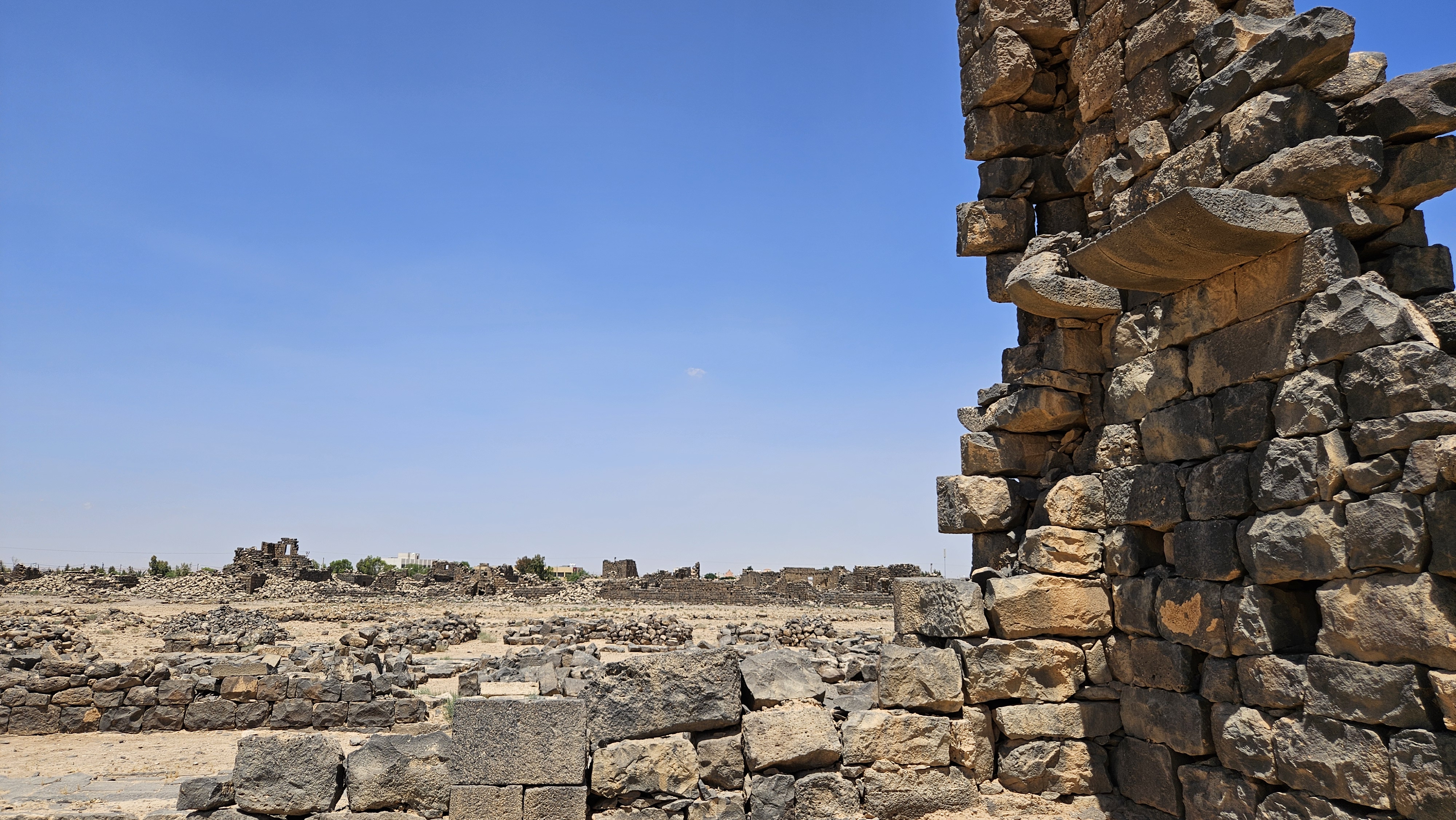
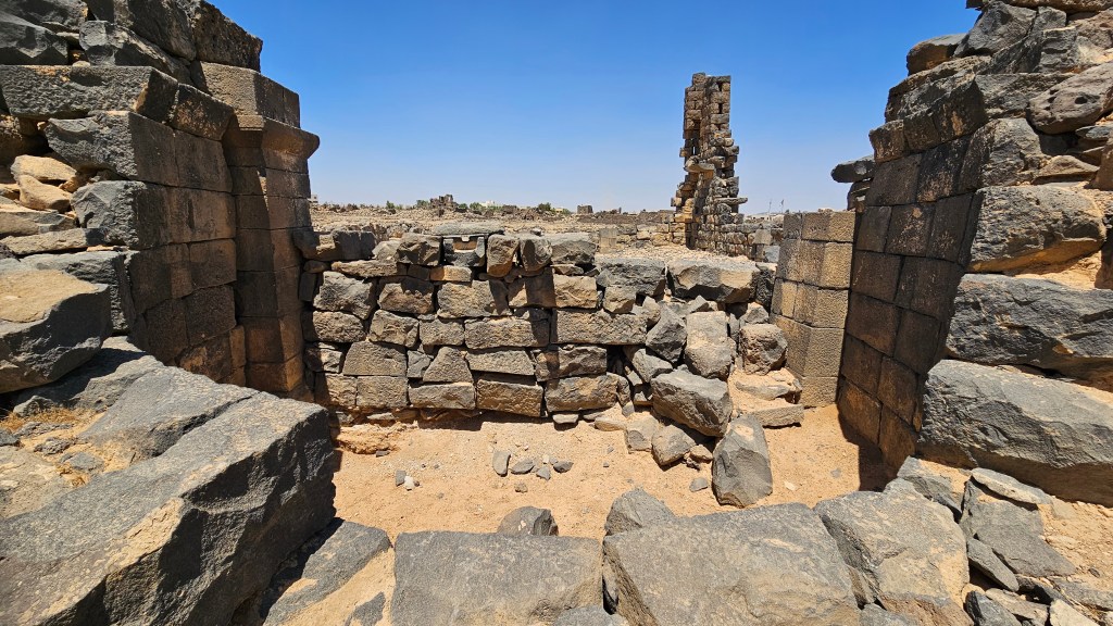
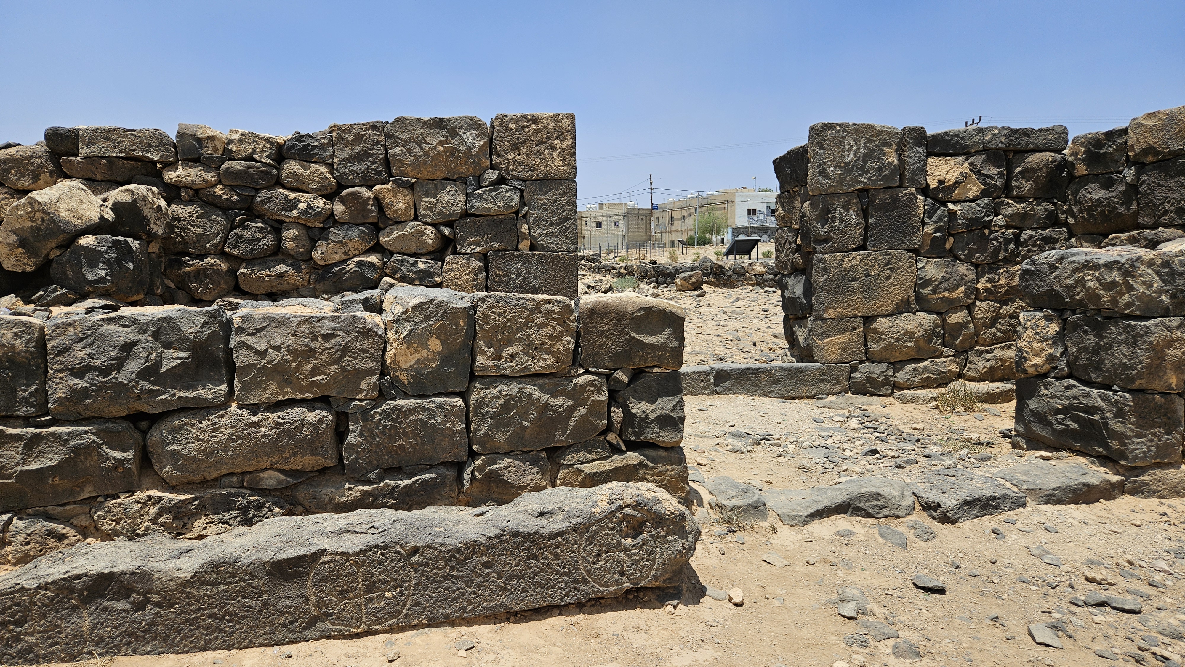
Numerianos Church
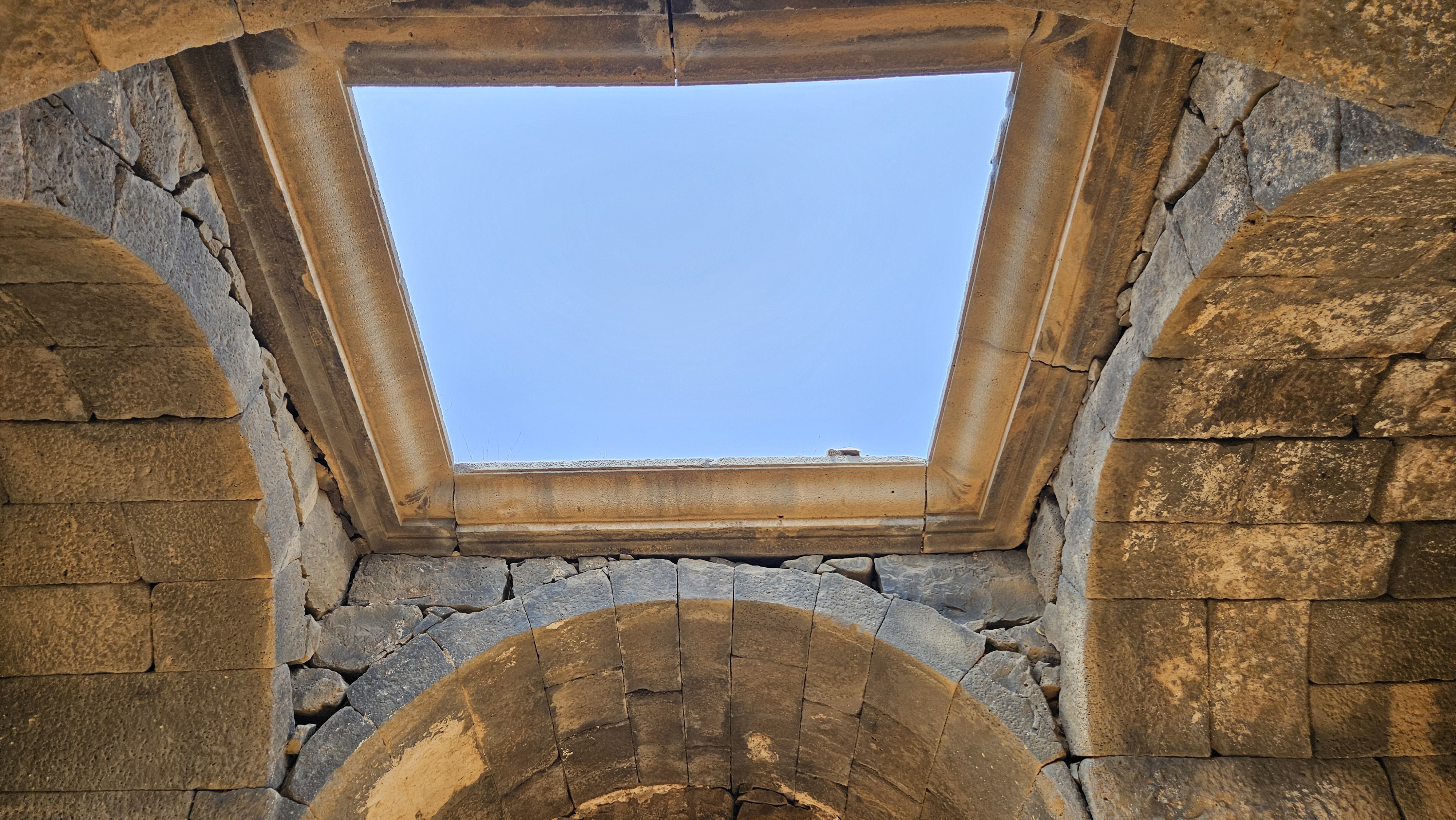
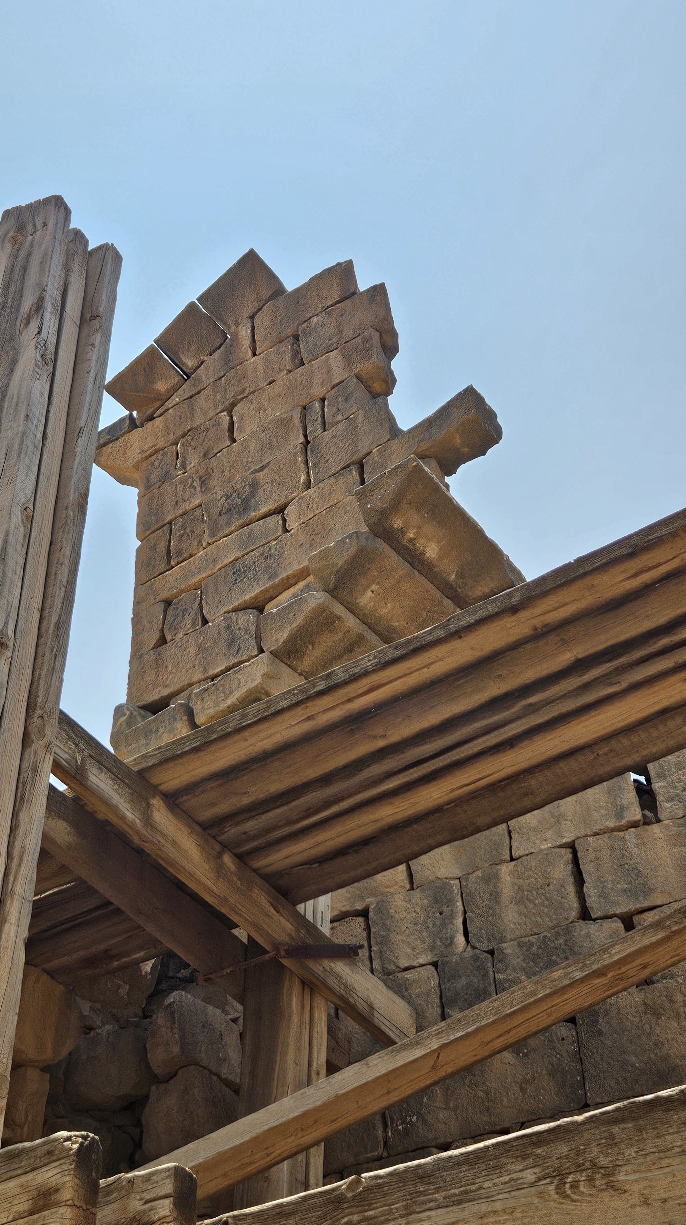
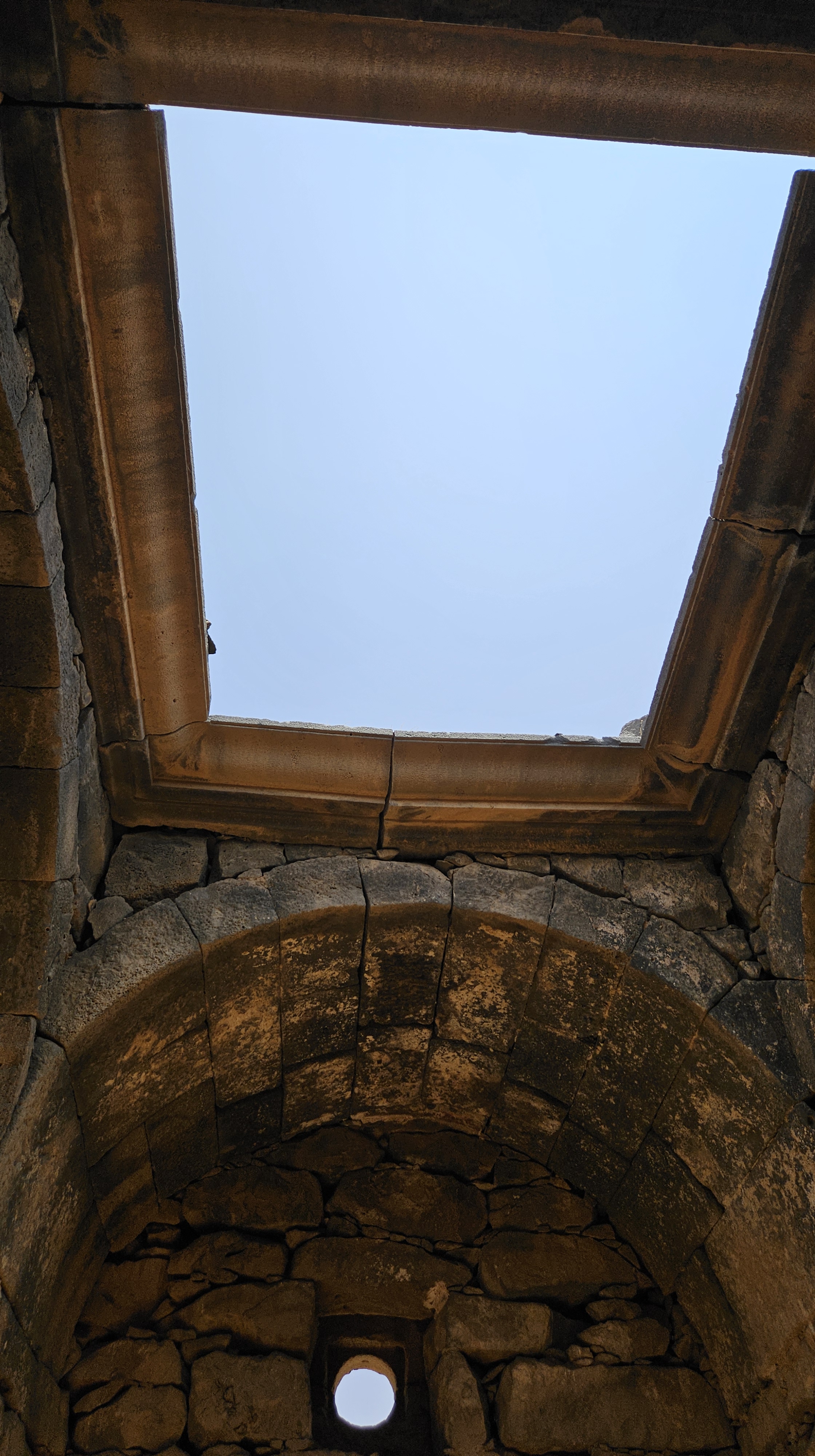
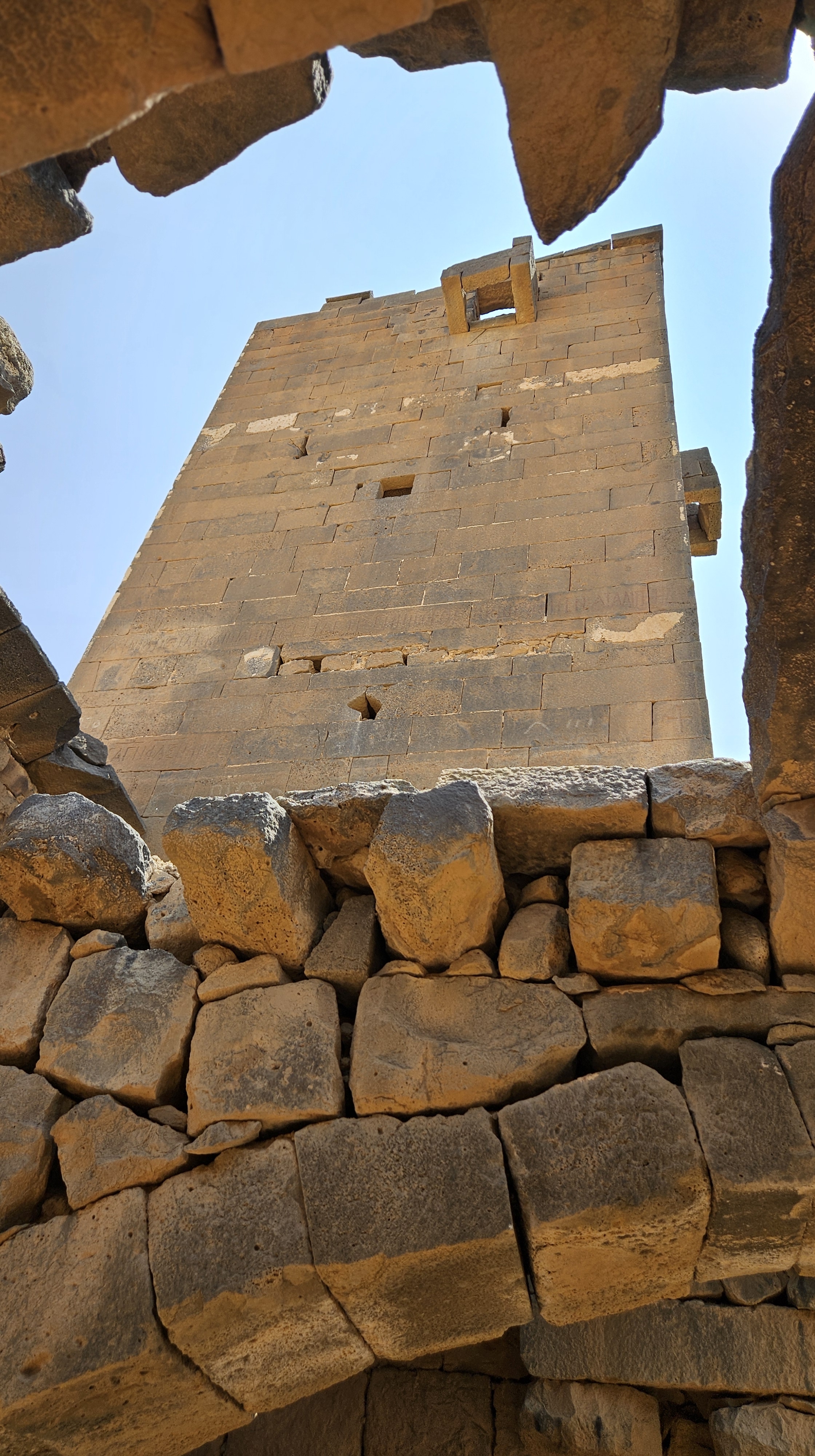
Built in the early sixth century, and expanded in the late sixth century, this is one of many Byzantine churches of Umm Al Jimaal’s heyday. Most are integrated into the neighborhoods, but the Numerianos Church was more freestanding, endowed by a rich merchant family in the community. Documentation from the Princeton Expedition reveals that it was once several stories tall, but only the ground floor remains, except for some corbelling in the corners.
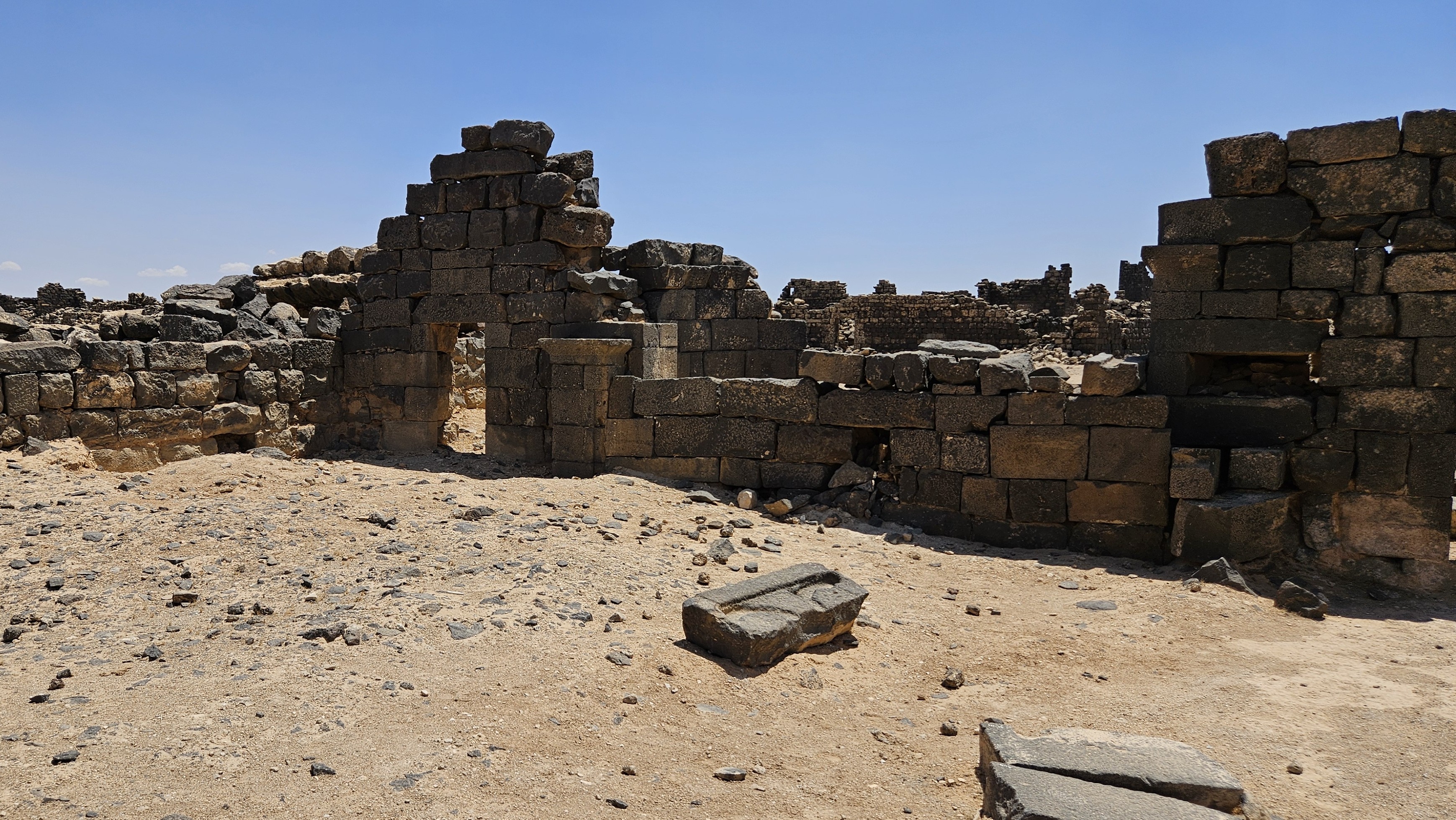
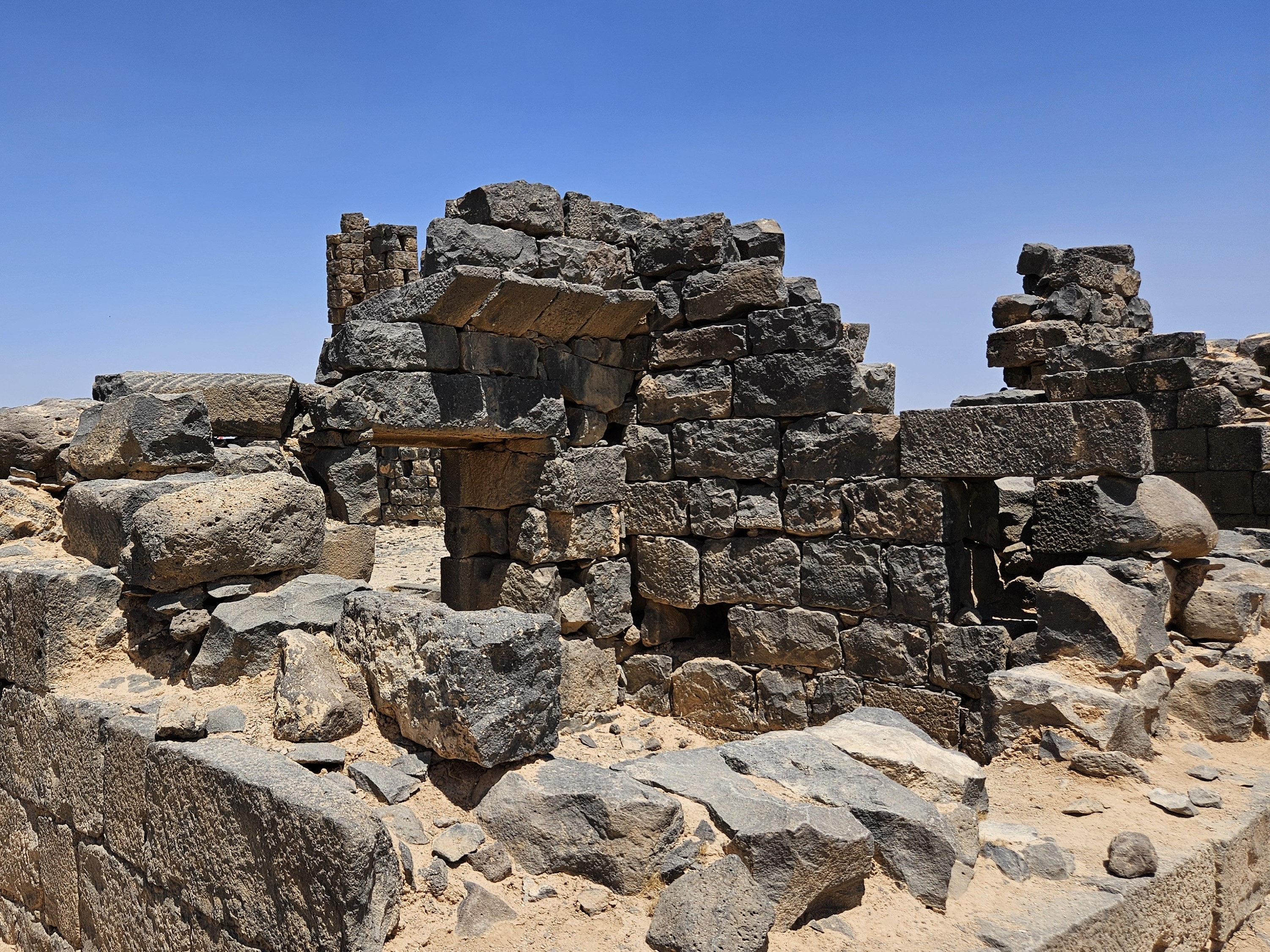
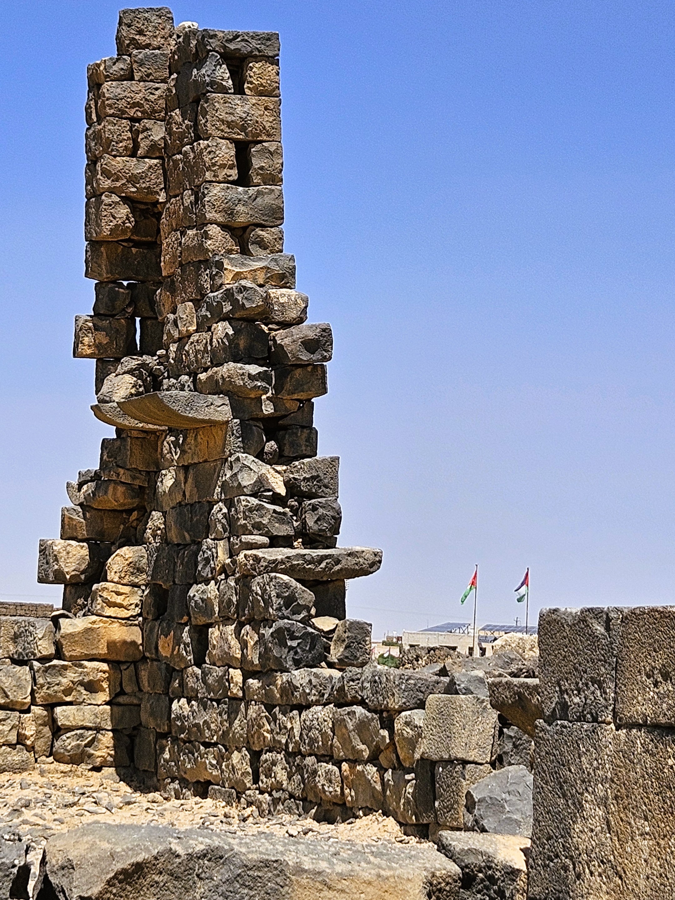
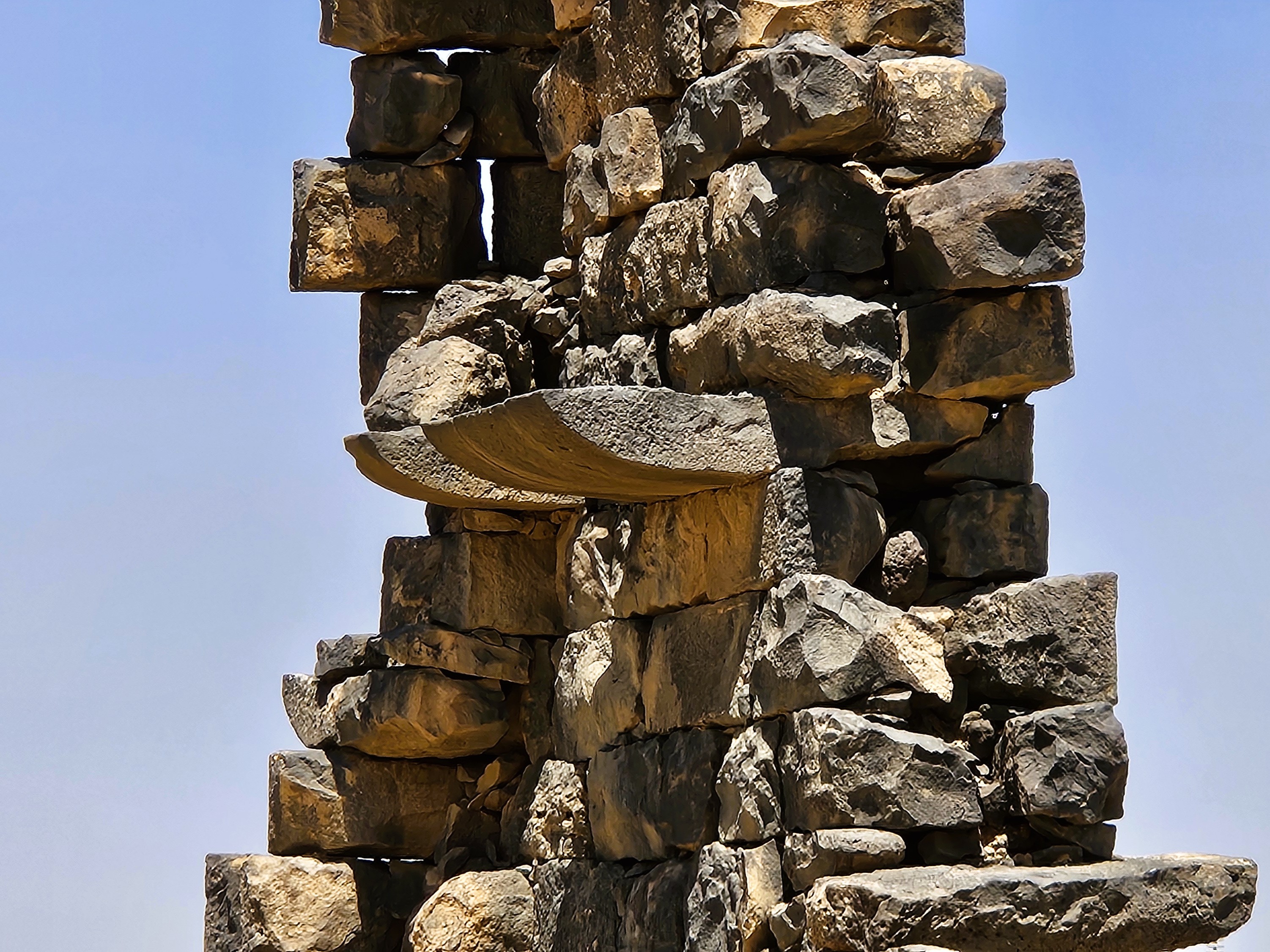
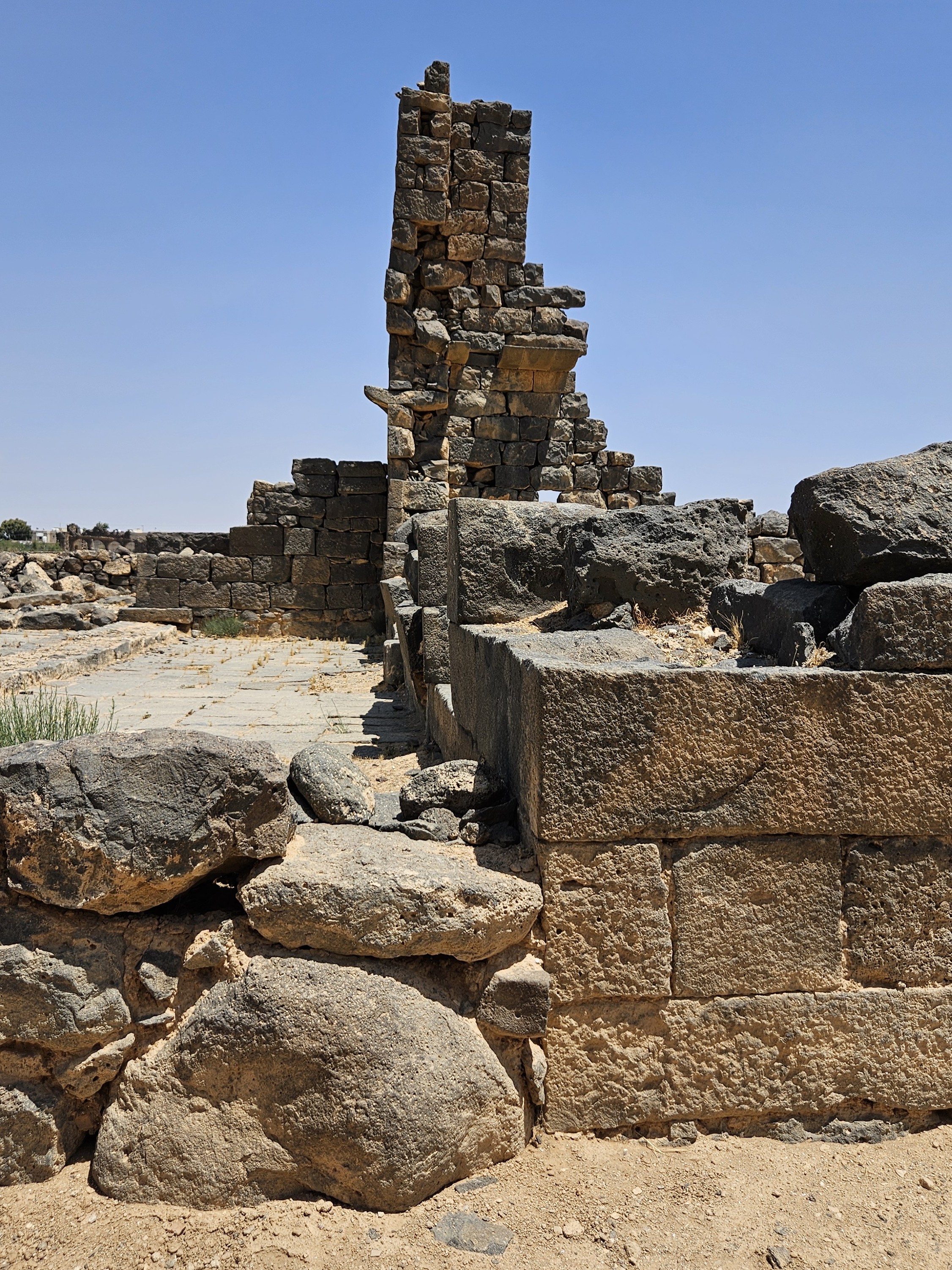
The main church is what’s known as a basilica style, with side aisles set apart by a row of arches on pillars, their feet still visible in the footprint of the sanctuary. Like all churches of the Old World, the semi-circular apse of the church faces east.
What makes this apse interesting is that it has been walled off. It has been widely speculated that this was part of repurposing the church as a mosque, which would be extremely rare. Islamic tradition says that a mosque should be a purpose-built structure, dedicated only to the worship of Allah. It’s also important that a mosque have a qibla or prayer niche, indicating the direction of prayer toward Mecca, which I didn’t see in the Numerianos Church.
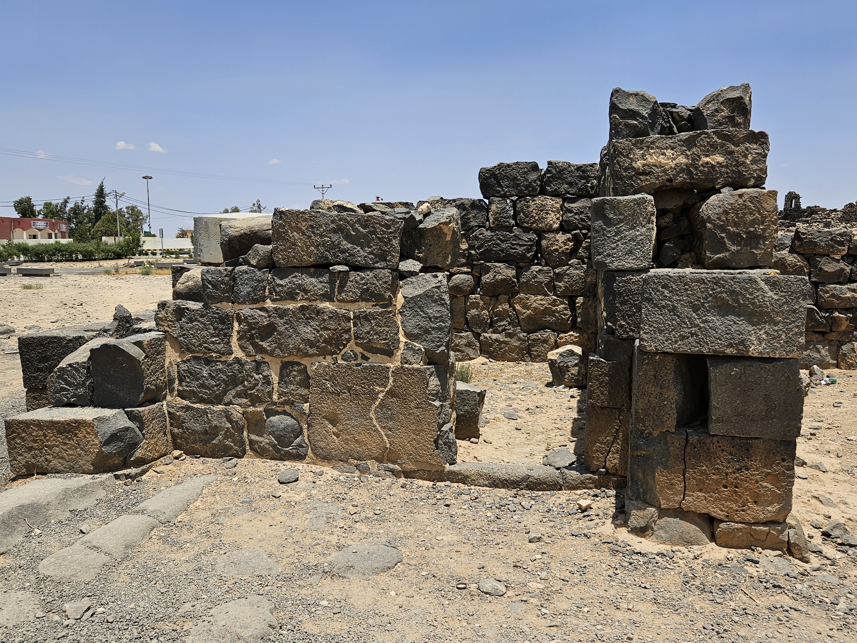
Through a doorway on the north side of the church, the expansion of the structure included a series of small cells around a courtyard atop and around a covered cistern. Our archaeologist guide speculated, though they have uncovered no evidence for this, that this is the kind of construction typical of living quarters for a small monastic order. Establishing a cloister at Umm Al Jimaal might explain why the expansion of the church was required.
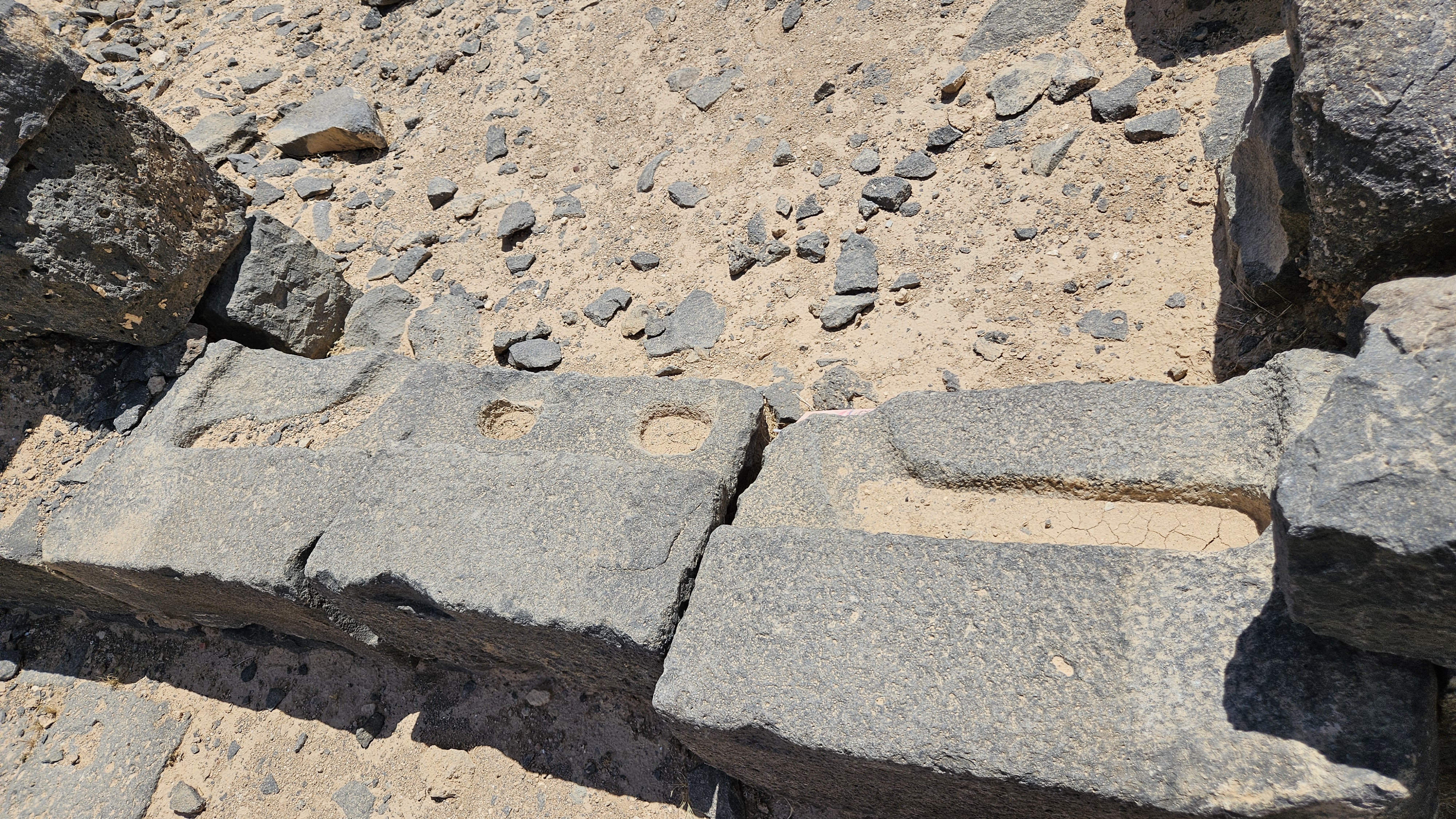
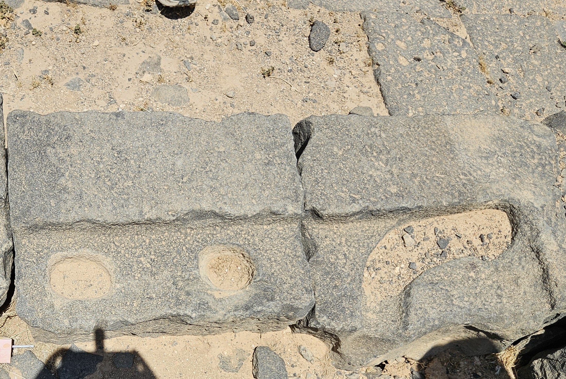
Like most of the thresholds in Umm Al Jimaal’s external doorways, these stones are carved with a curving trough that allowed the hinges at the adjacent top and bottom corners of the door to be slid into place, and two round holes in the center that locking mechanisms could be slotted down into.
Trade and Empire
Midway through our tour, our archaeologist guide had somewhere else he needed to be, and a young local man names Abed finished for us. The emphasis of his tour was on the remaining monumental buildings in the site, starting with the Commodus Gate in the western wall of the city.
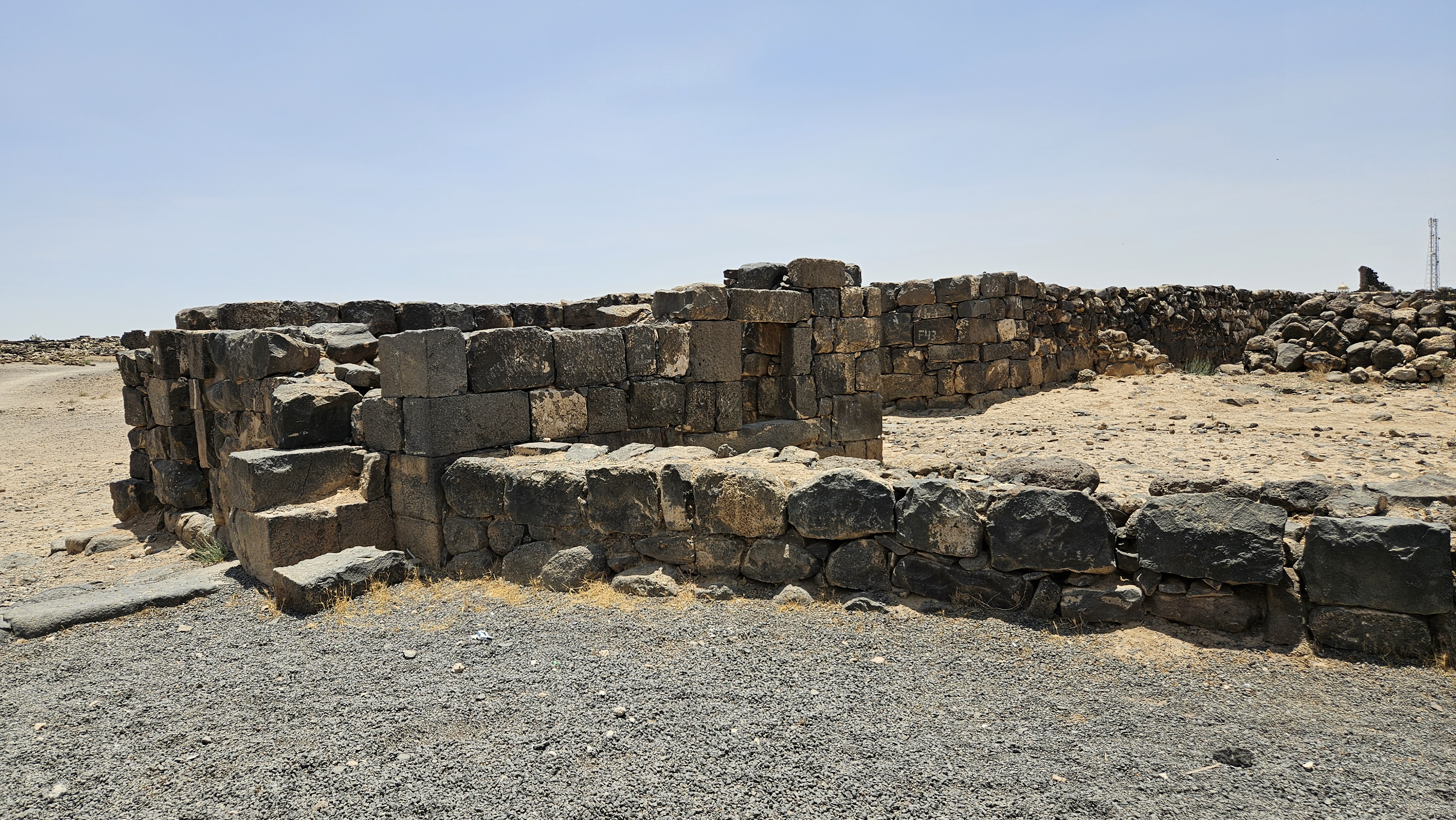
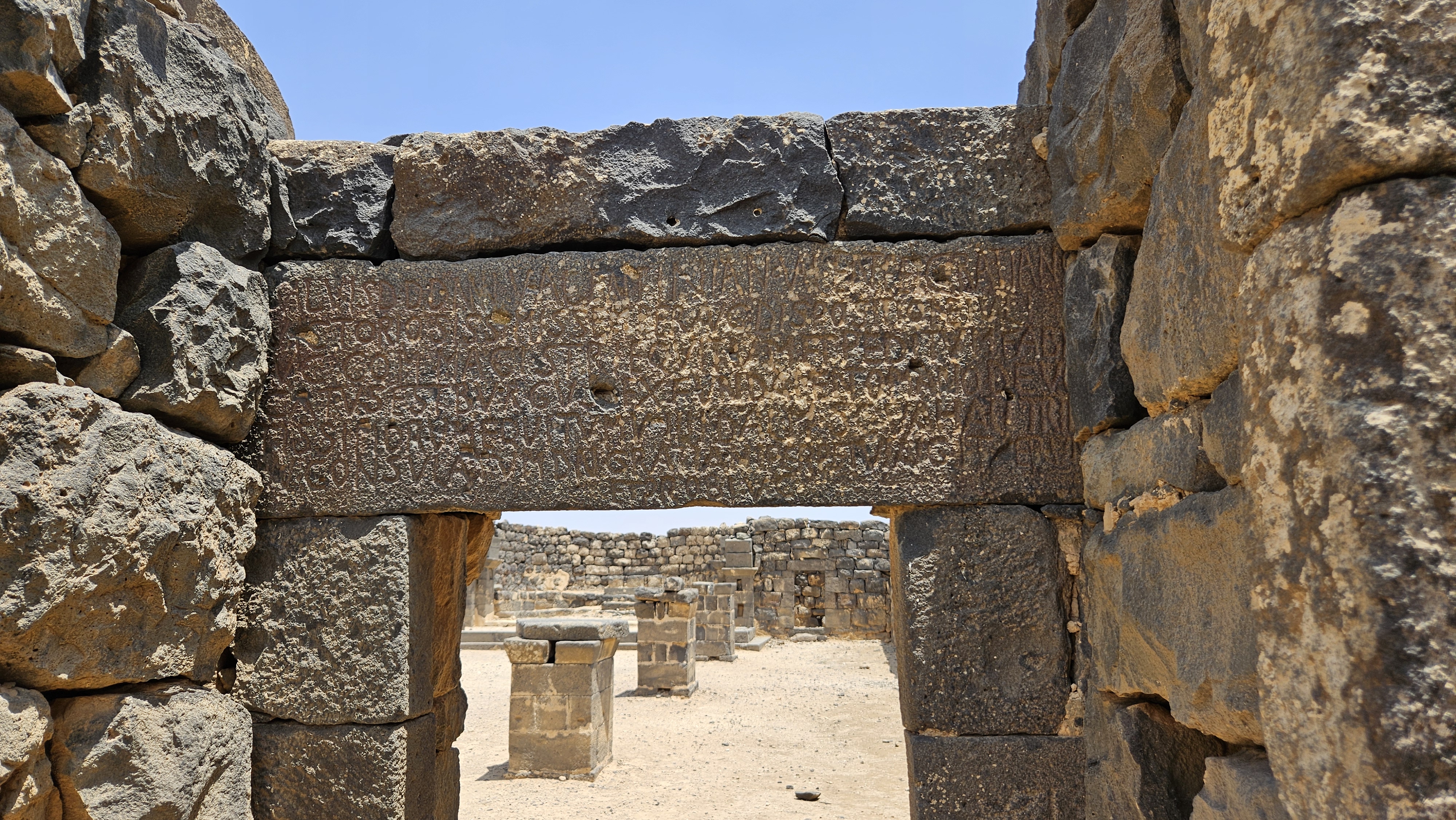
Commodus Gate
Built in the second century, this would have been considered the “main” gate of the city, not necessarily because it was the most used, but because it was oriented towards the Roman Via Traiana Nova, the road that the conquering Emperor Trajan built from Bostra down to Aqaba on the Red Sea. The Trajan Road was some miles west of Umm Al Jimaal, but kept the town connected to the rest of the province of Arabia Petraea via a trunk road.
An astonishing over 80% of the Byzantine wall around Umm Al Jimaal remains to this day, to one degree or another, and a similar amount of the city within. At this gate, there are two small guard rooms on either side – not towers; this wasn’t a defensive gate – and a clear threshold into the city that would once have been in the shadow of an arch.
You can see where an entire line of inscription has been carved out of this dedication stone.
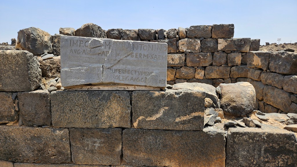
Still visible is the name “Aurelius,” as in the Roman Emperor Marcus Aurelius, who briefly shared his rule with his son Lucius Commodus. A tyrant in the years prior to his assassination, Commodus was declared by his successor as a traitor to the empire. His name and likeness were expunged from records across the vast Roman provinces, including from granite inscriptions like this one, except in a few fringe communities that didn’t get the news before he was posthumously pardoned by the following emperor.
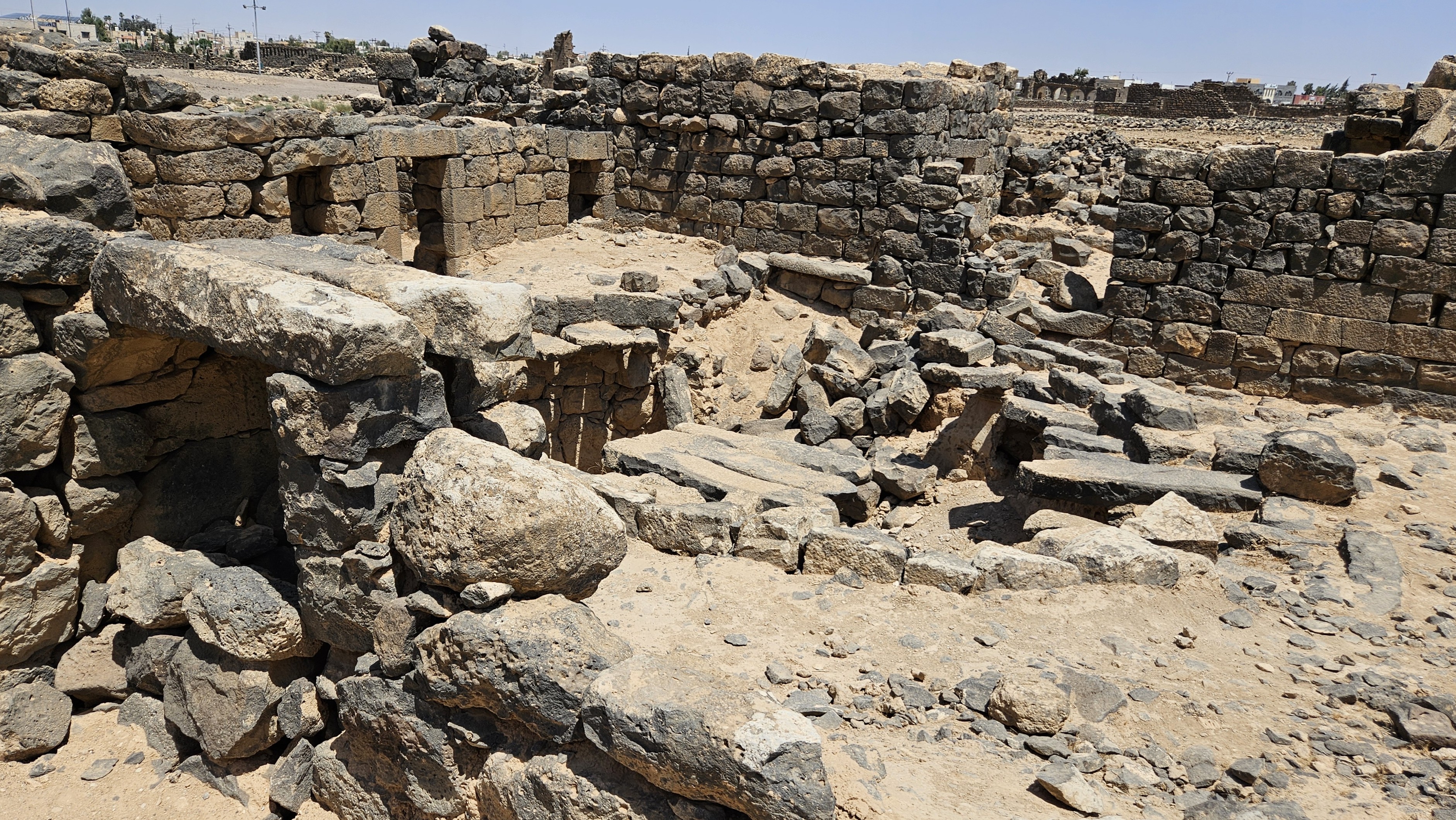
West Church
Along the trunk road leading out of the Commodus Gate are a few small buildings, perhaps shops, and the large West Church.
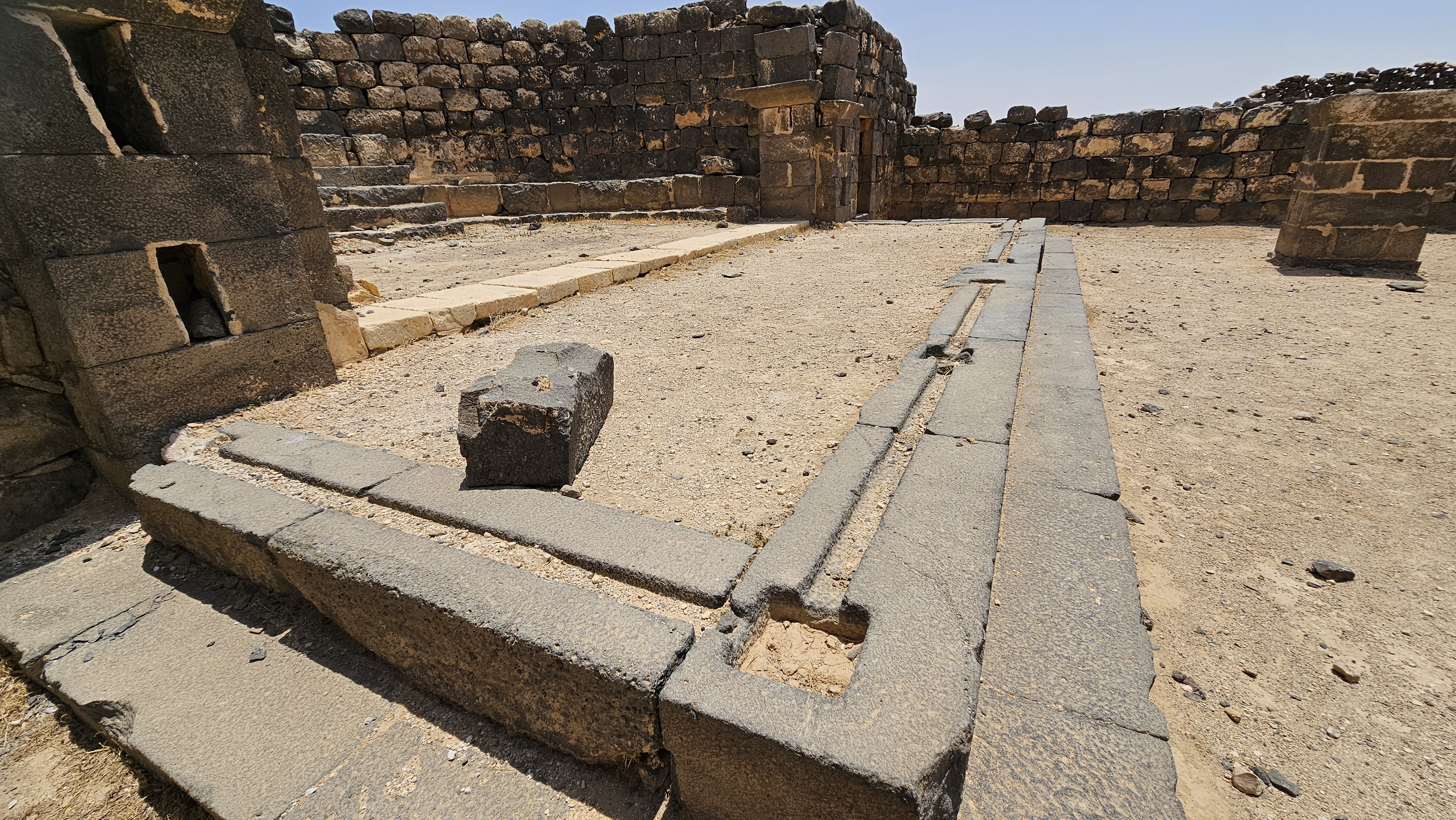
Cistern and Crypt
Abed insisted that we first walk past the church’s open north wall and start at the western end of the building. This took us past a quarry cum public cistern across the street from the church, to a second underground structure that at first I took for the church’s dedicated cistern, but the large basalt casket in the center of the space let us know that this was the church’s crypt.
There are also niches in the wall that would also have been burial places of the church’s clergy.
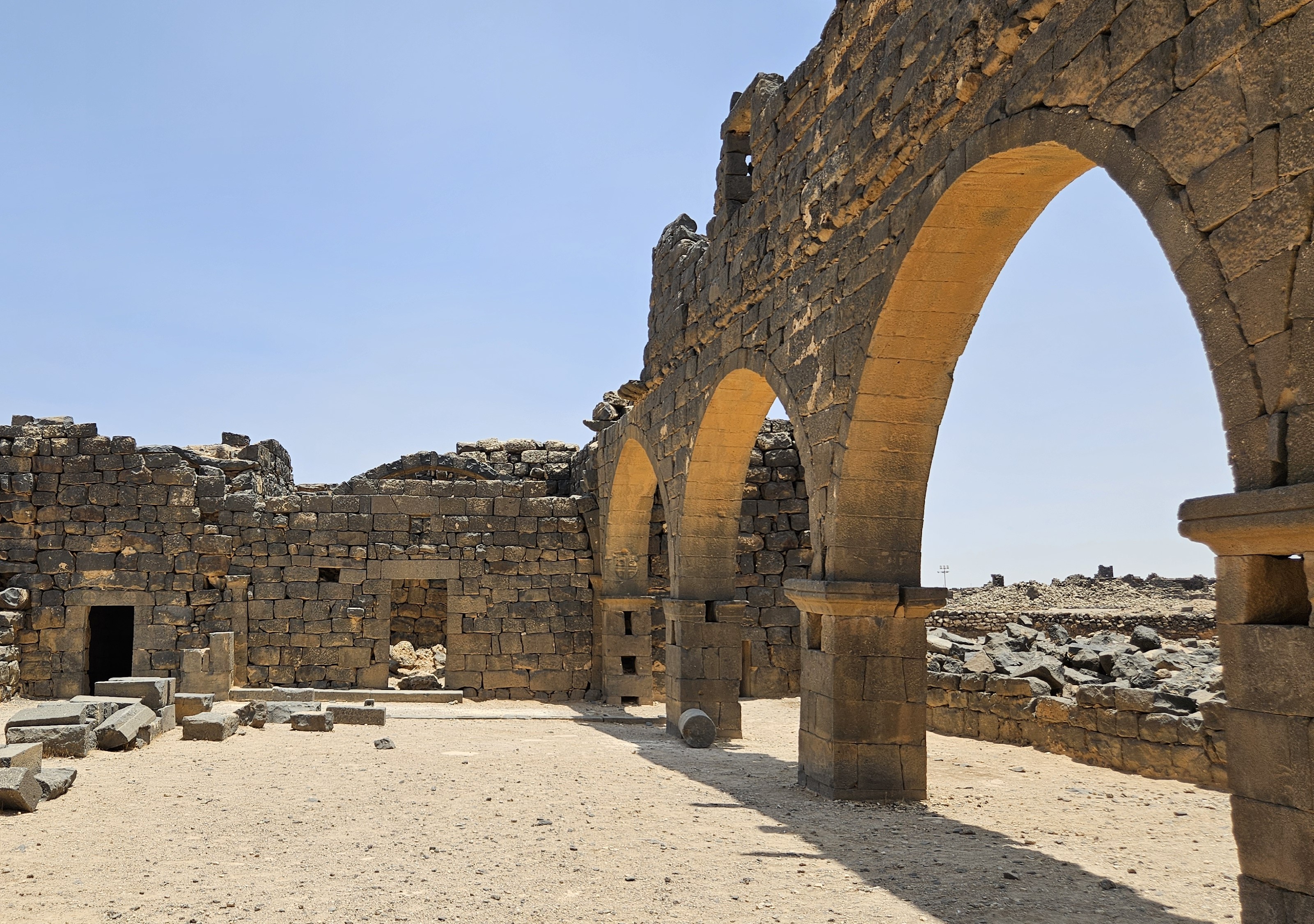
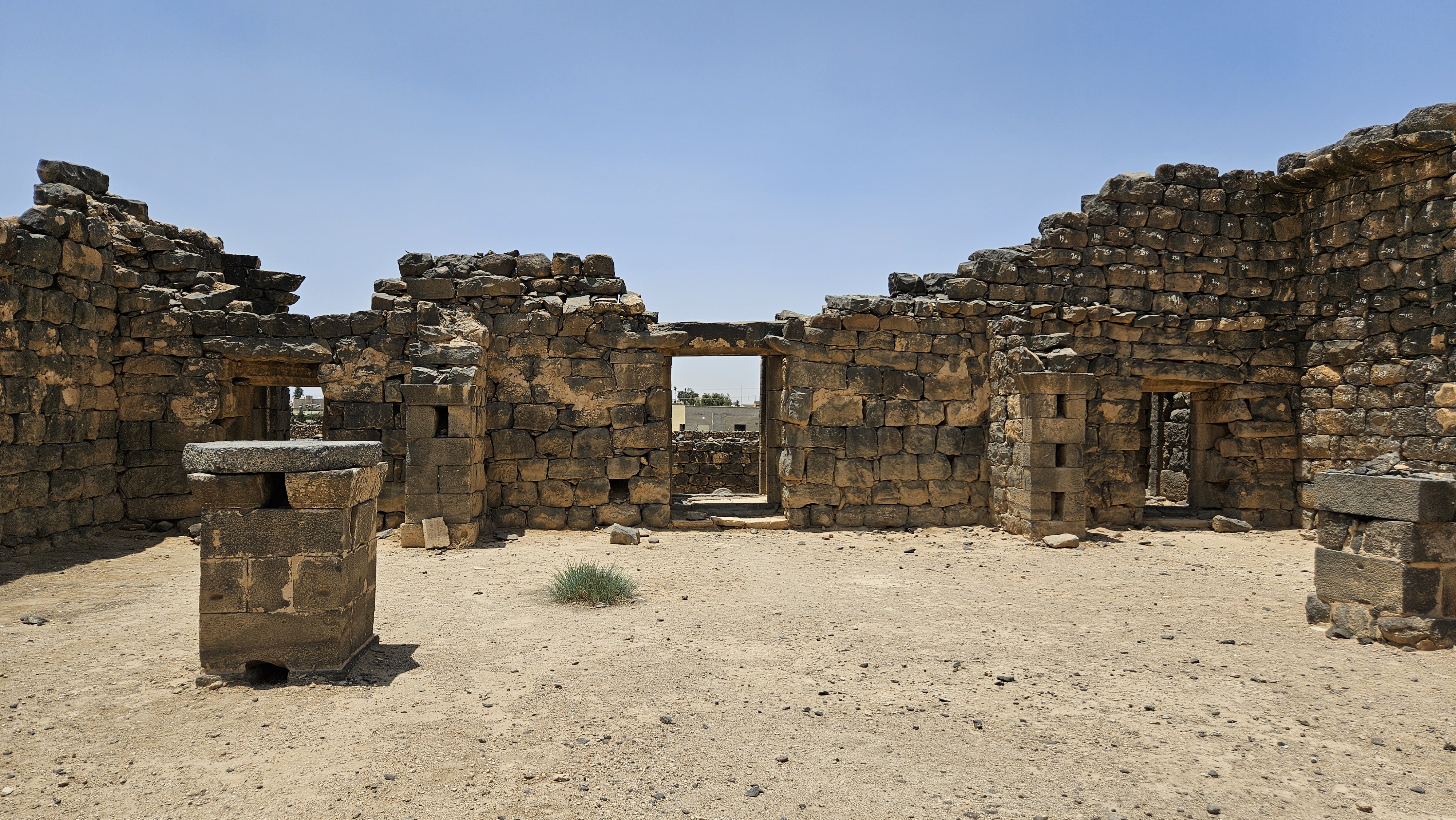
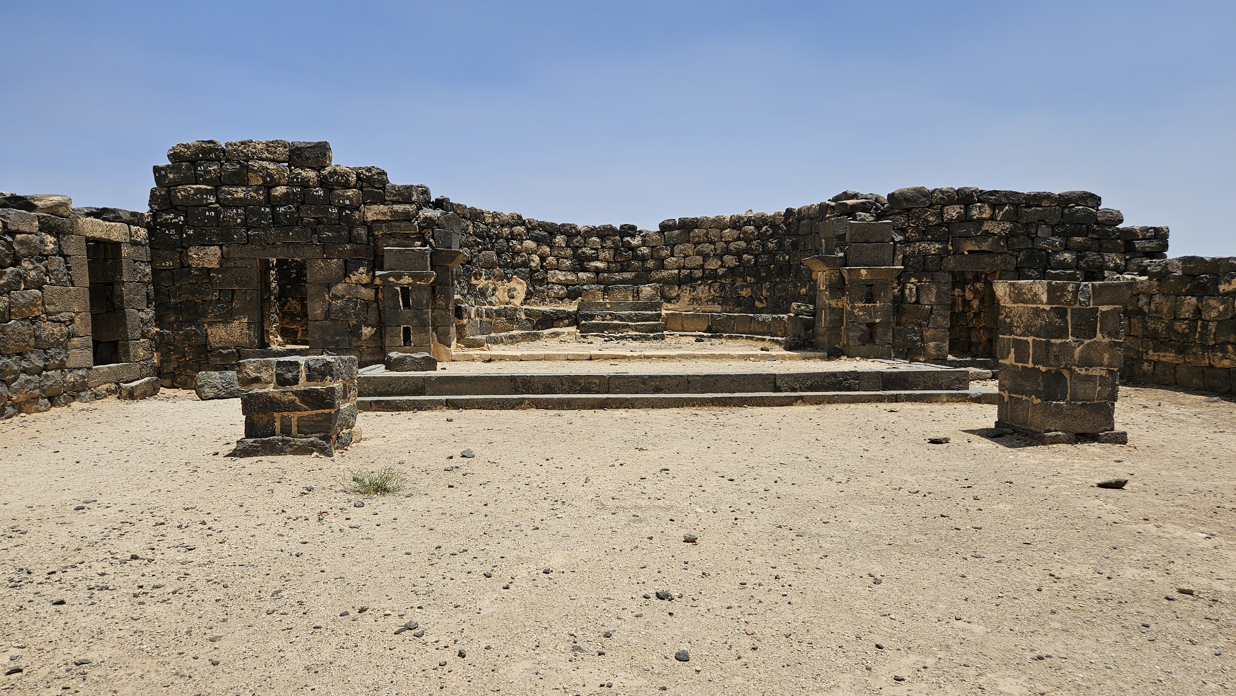
The Basilica
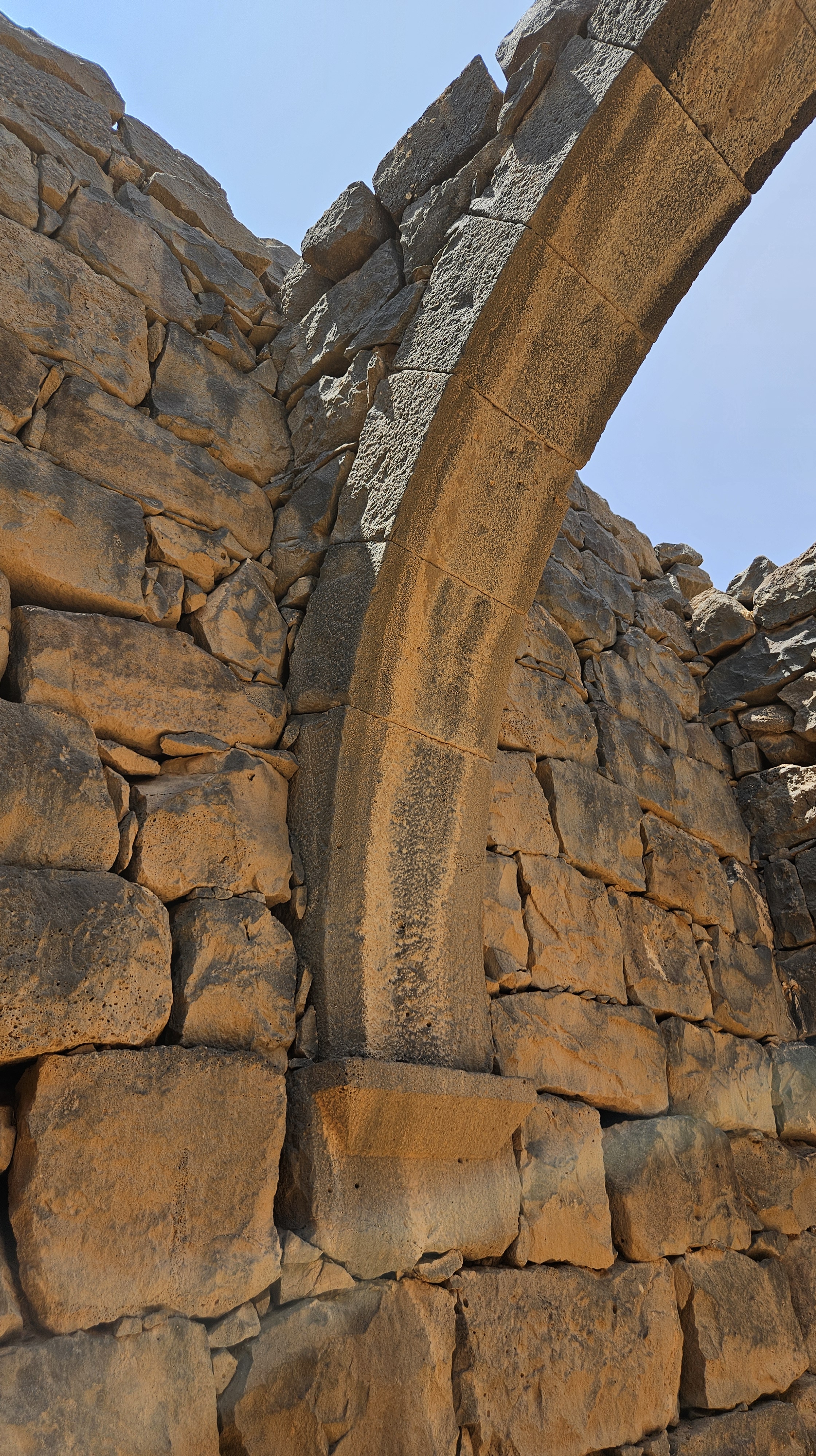
Then we turned to enter through the front of the church. Like the Numerianos Church, this is also a basilica-style three-aisle church, but larger, wider and more intact, with some of the arches still rising inside the sanctuary.
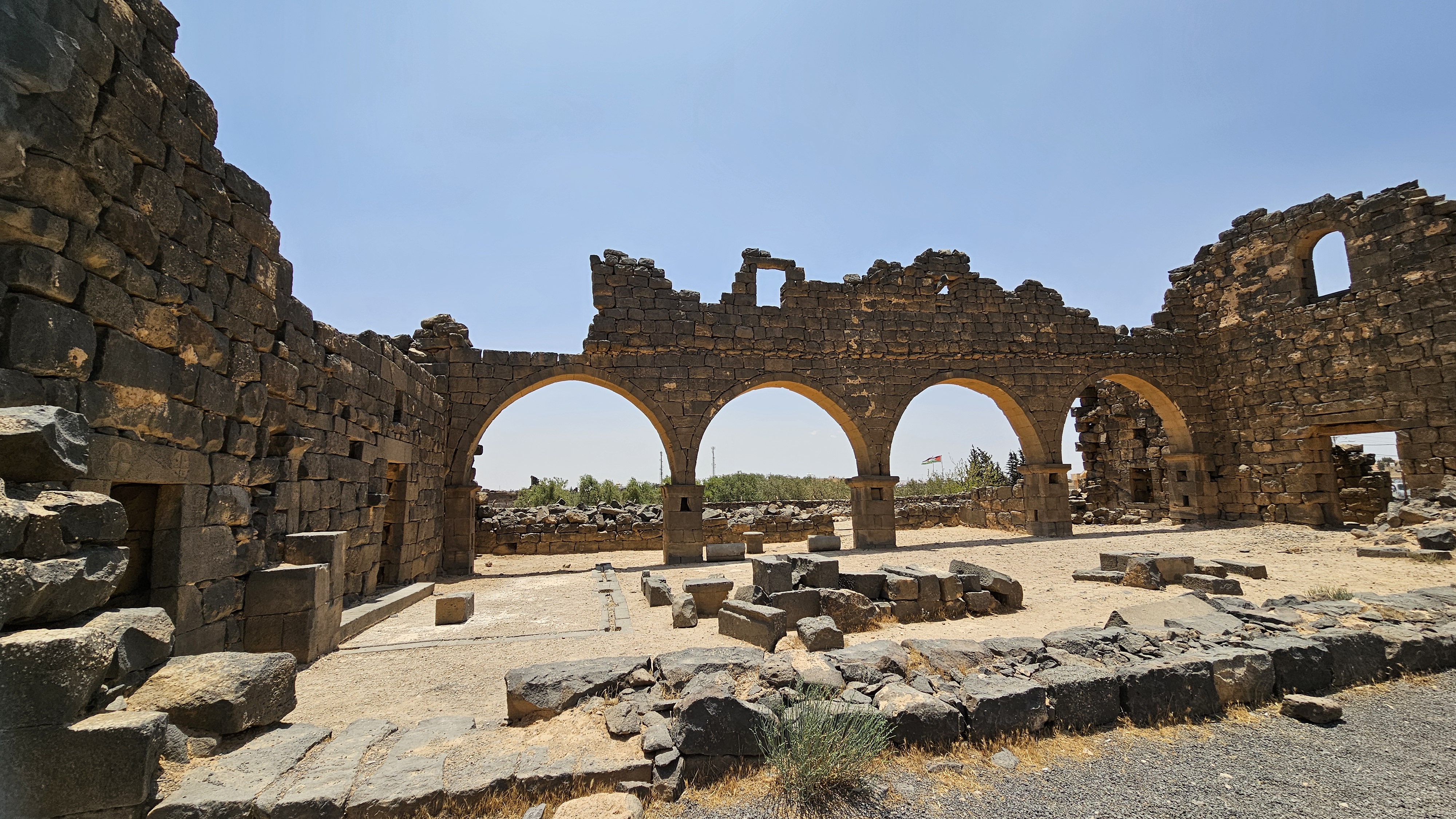
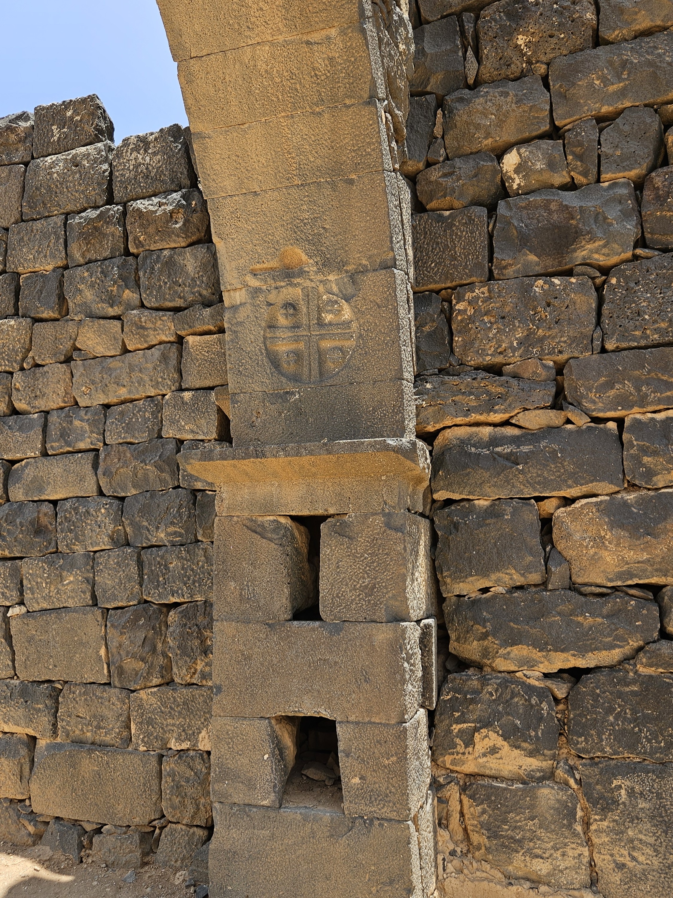
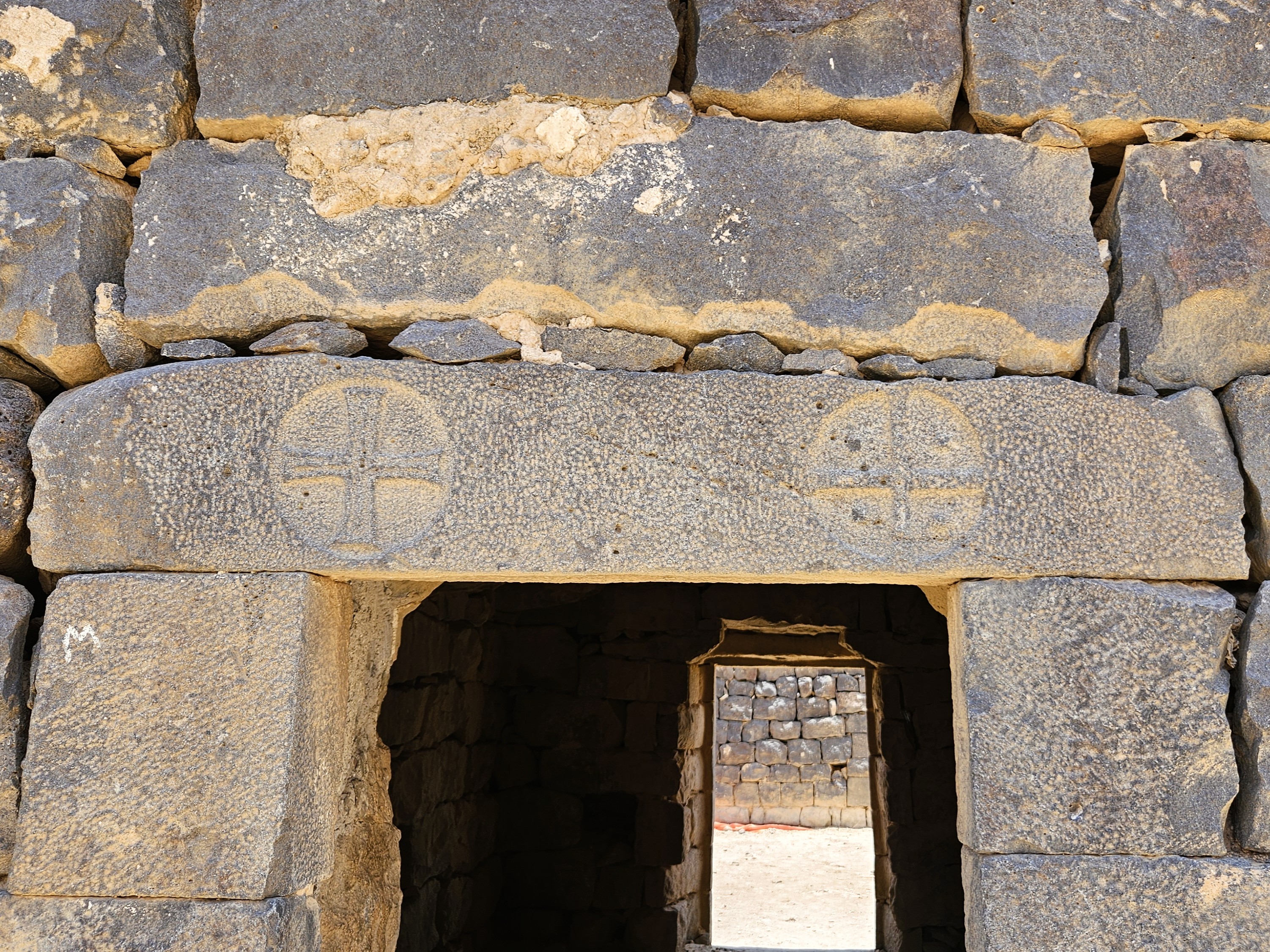
Abed pointed out some important architectural and decorative details that we’ve seen in other places, including in some of the homes. Above, you can see short Greek crosses carved in the arch and a lintel. In addition:
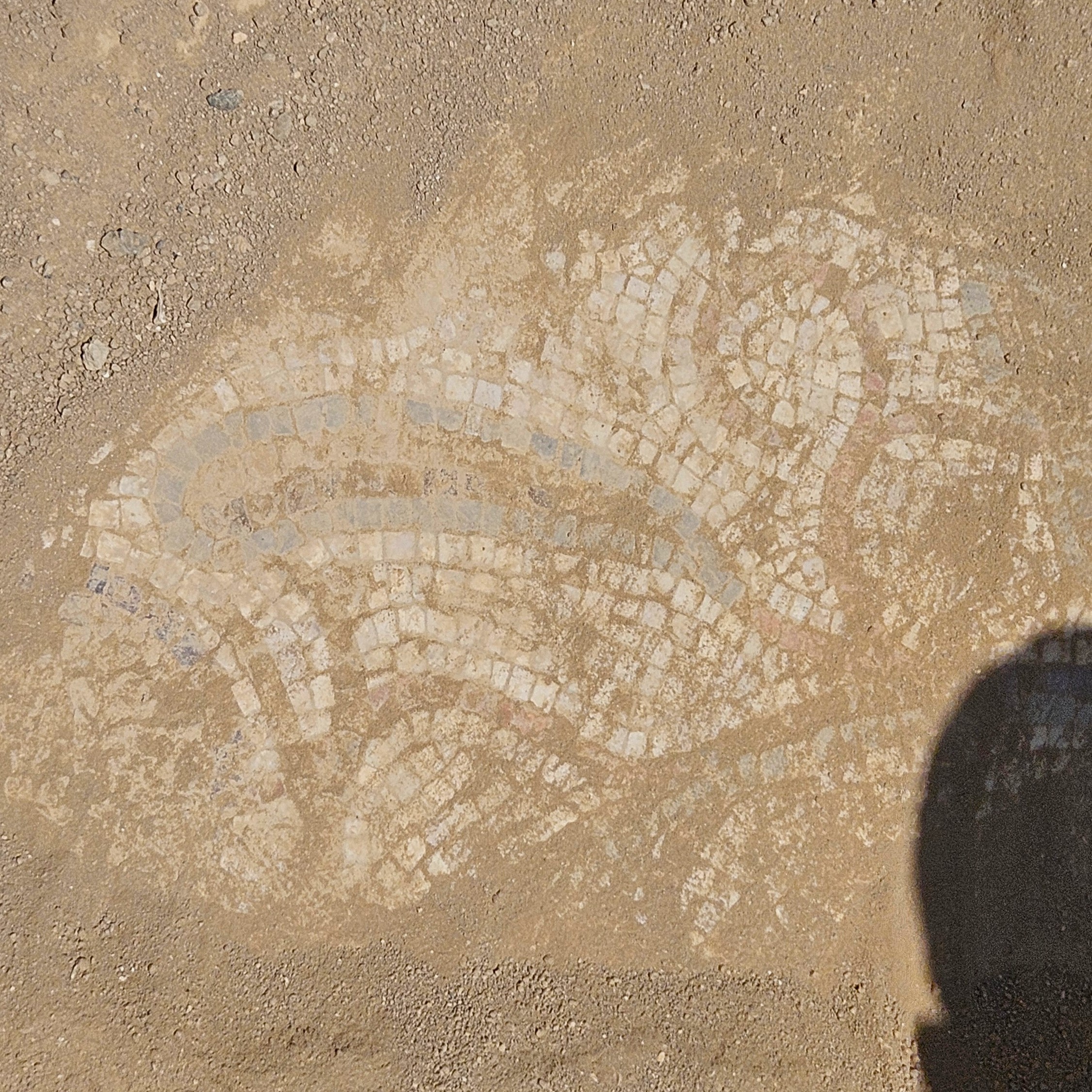
Abed brushed aside some dirt to show us some mosaic remaining in the basilica floor. 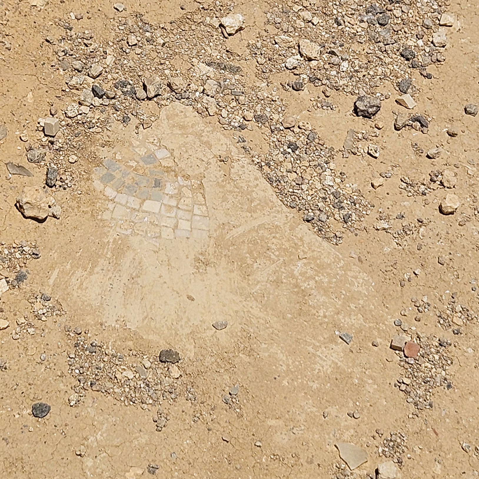
Here’s another mosaic, which Abed promptly brushed protective dirt back onto. 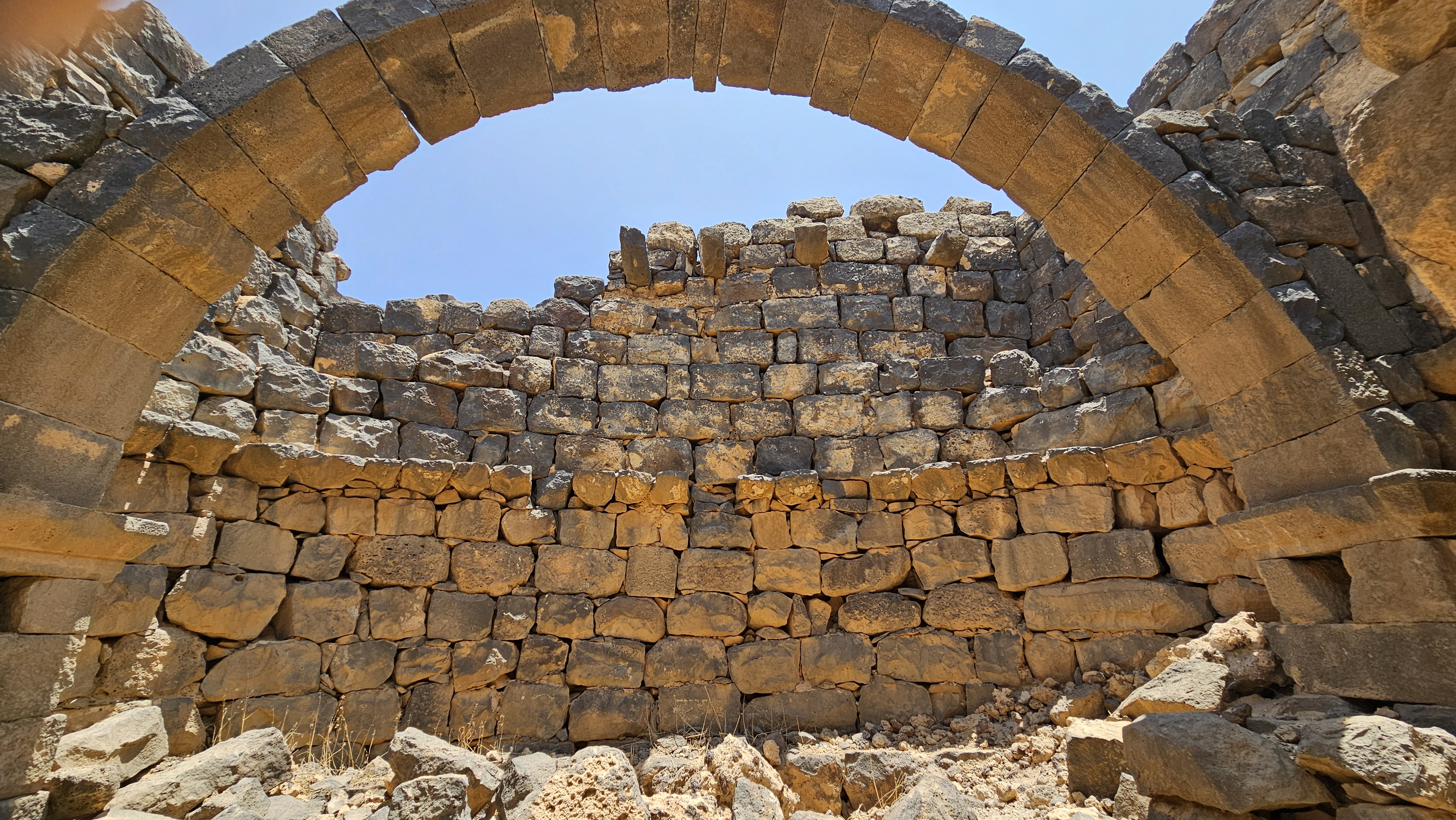
This arch separated the semi-circular apse from the main basilica. 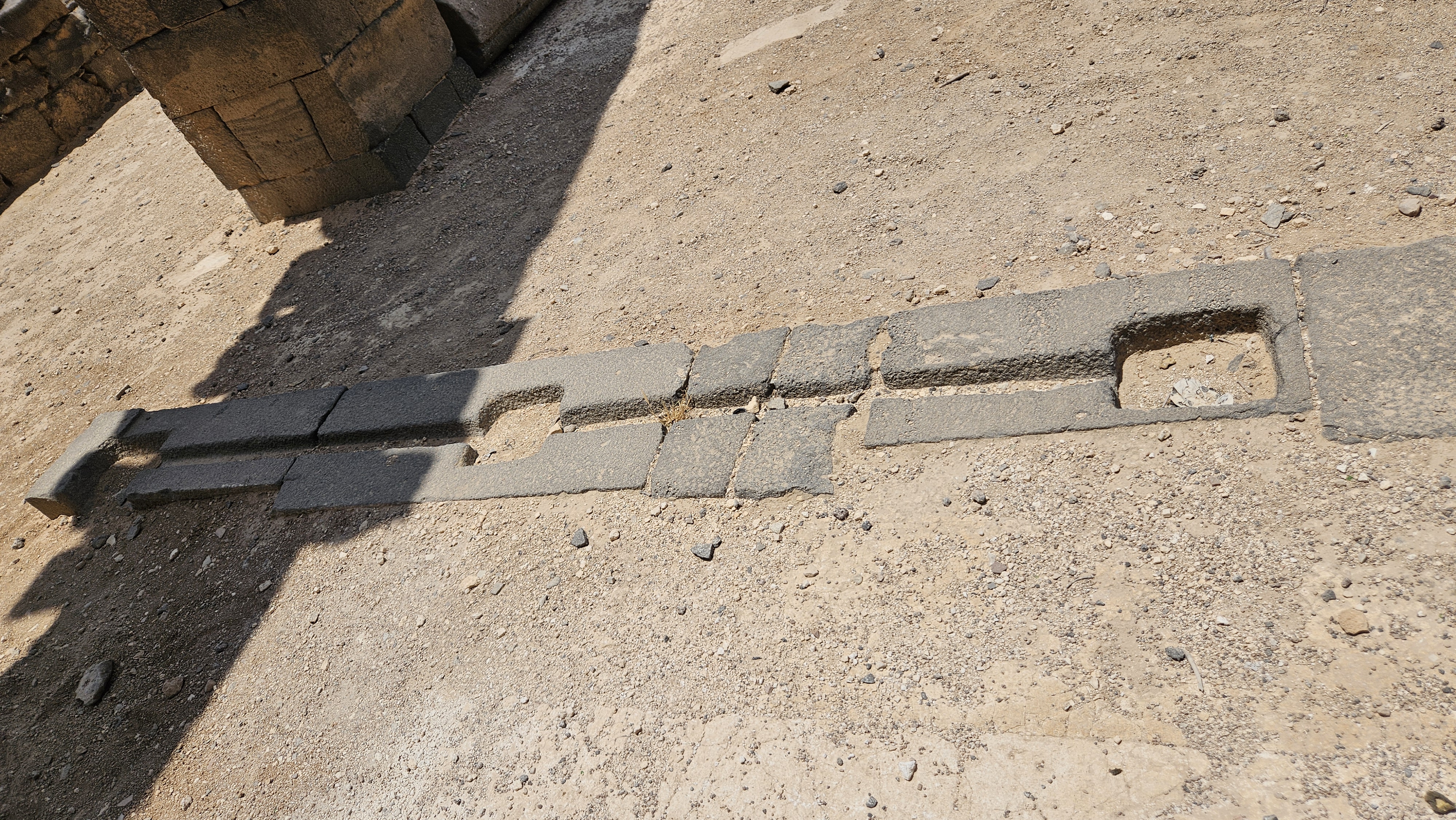
Here’s another threshold with carved grooves for the doors. 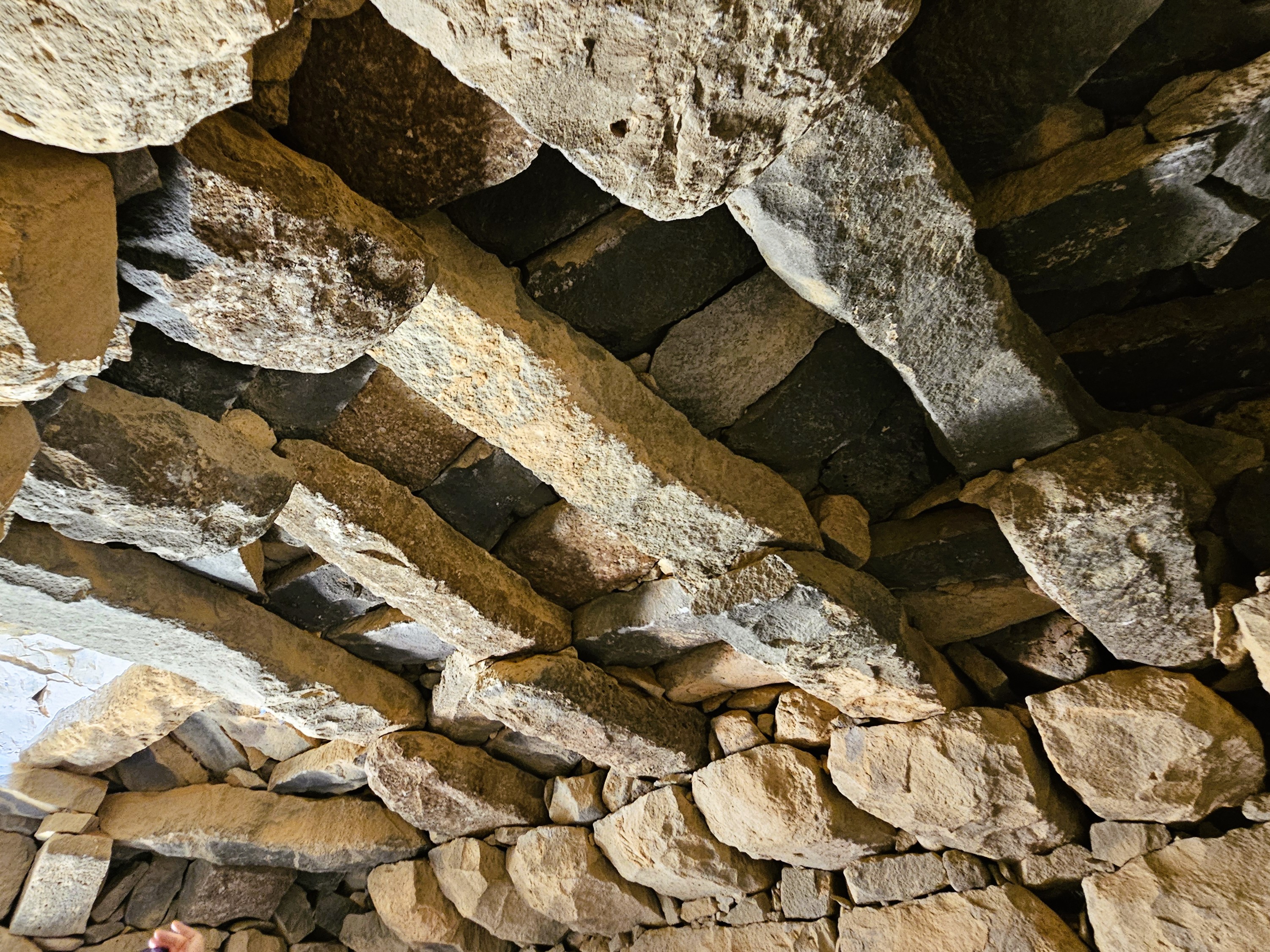
In this small room south of the main alter is another corbelled roof. 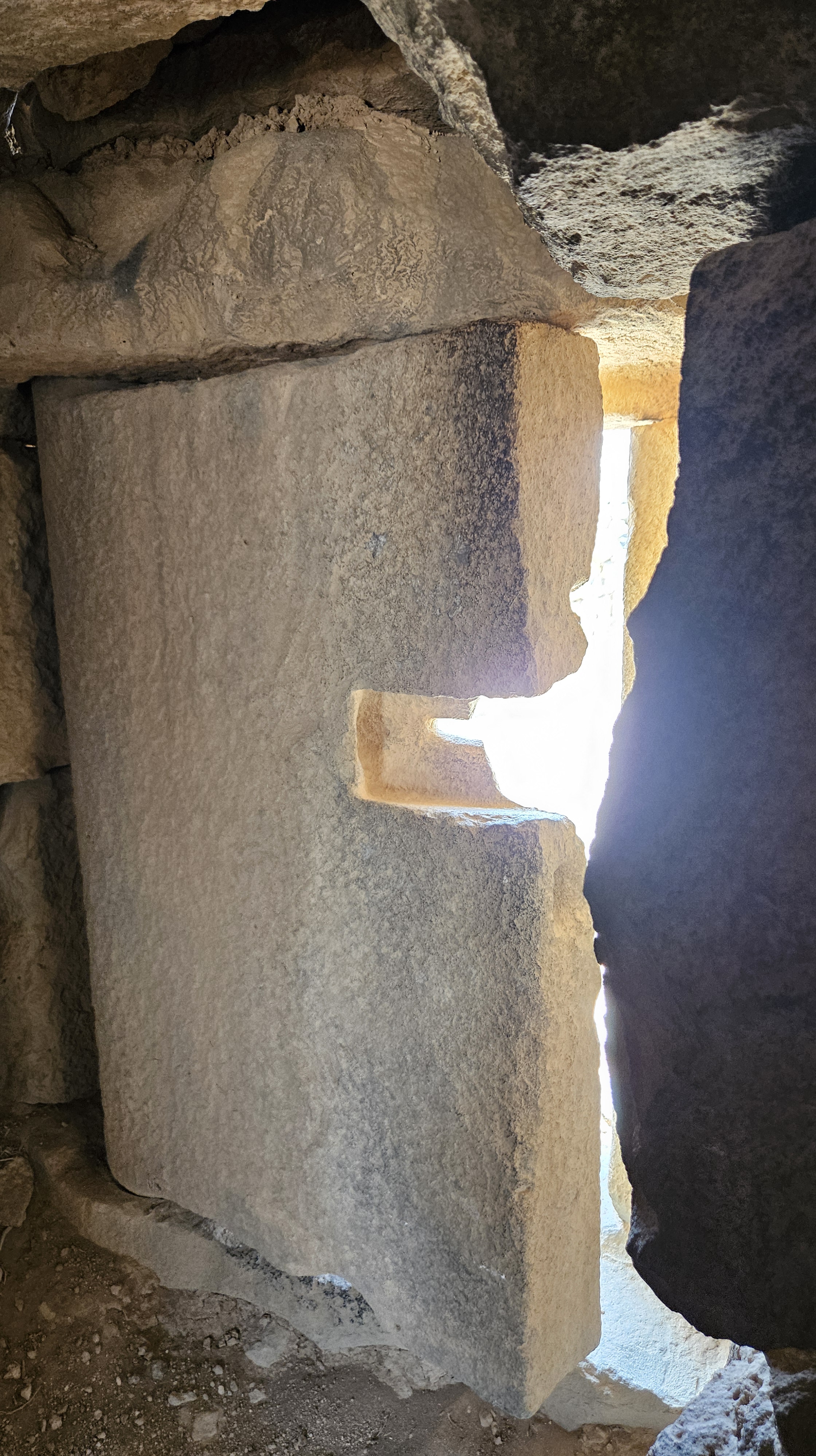
Abed swung this door rather easily open and closed again for us. 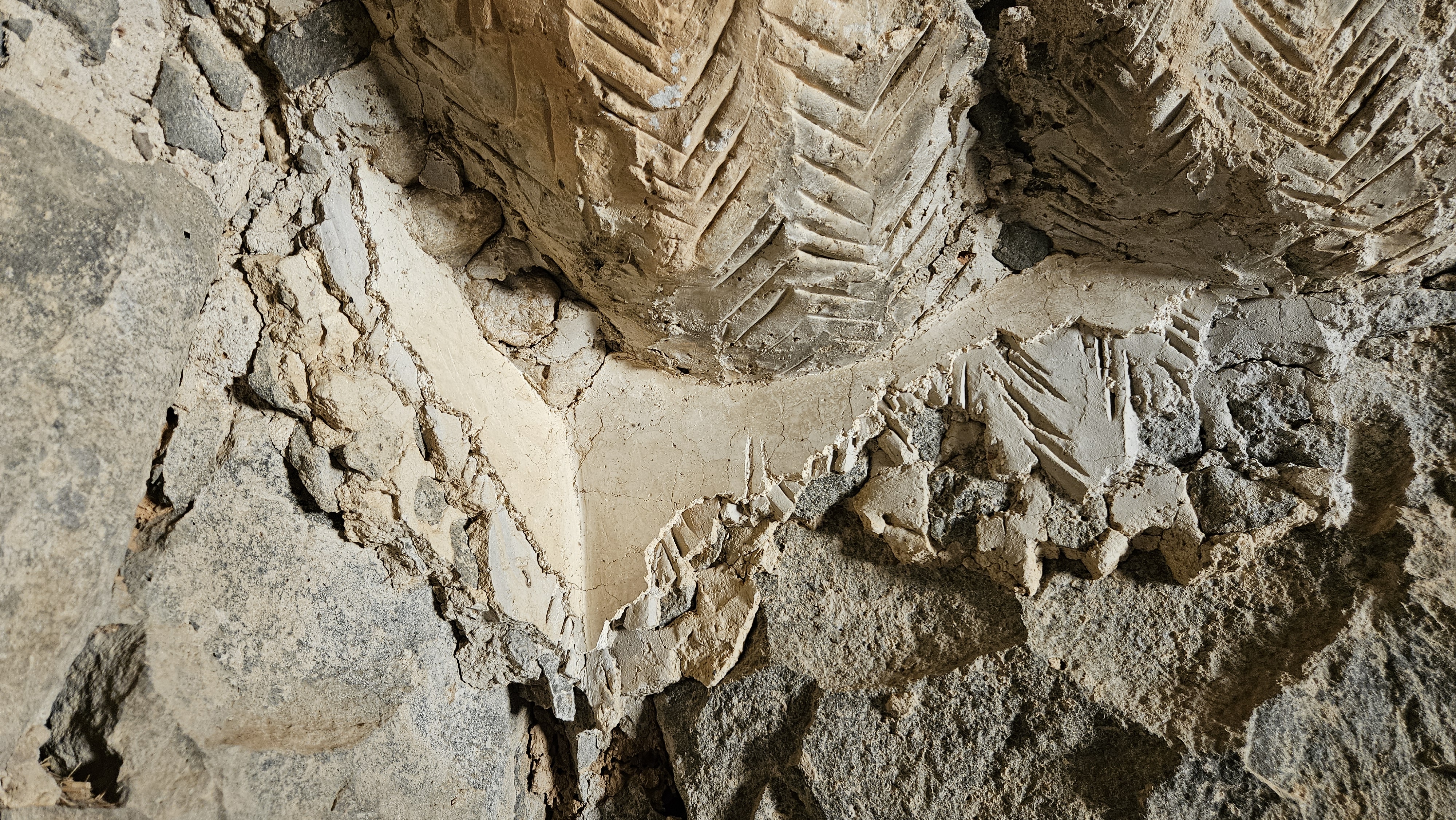
Here you can see the layers of smoothing over the stone… 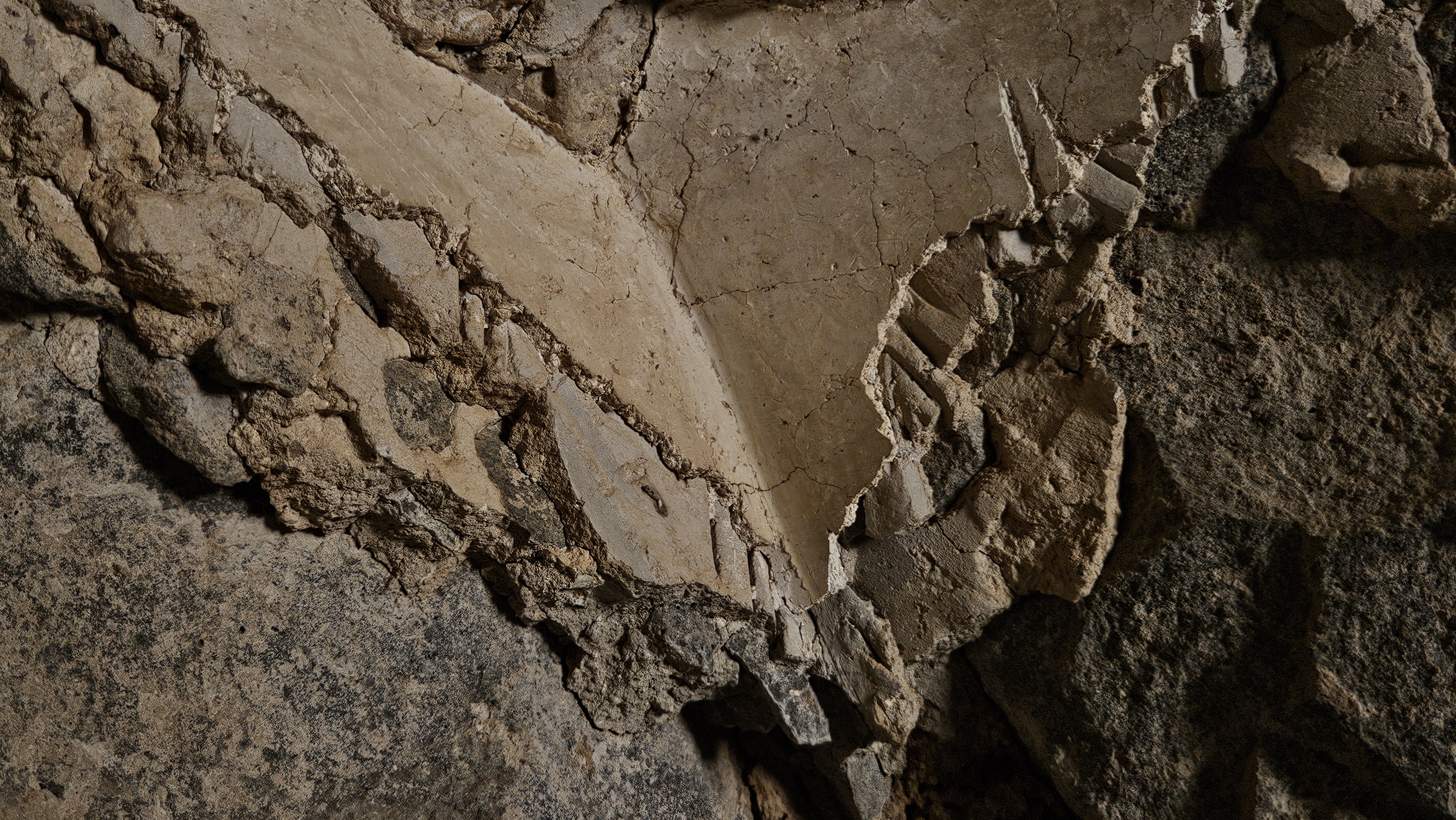
… a layer of plaster mixed with stones to even things out broadly … 
… and a smooth layer of plaster on top.
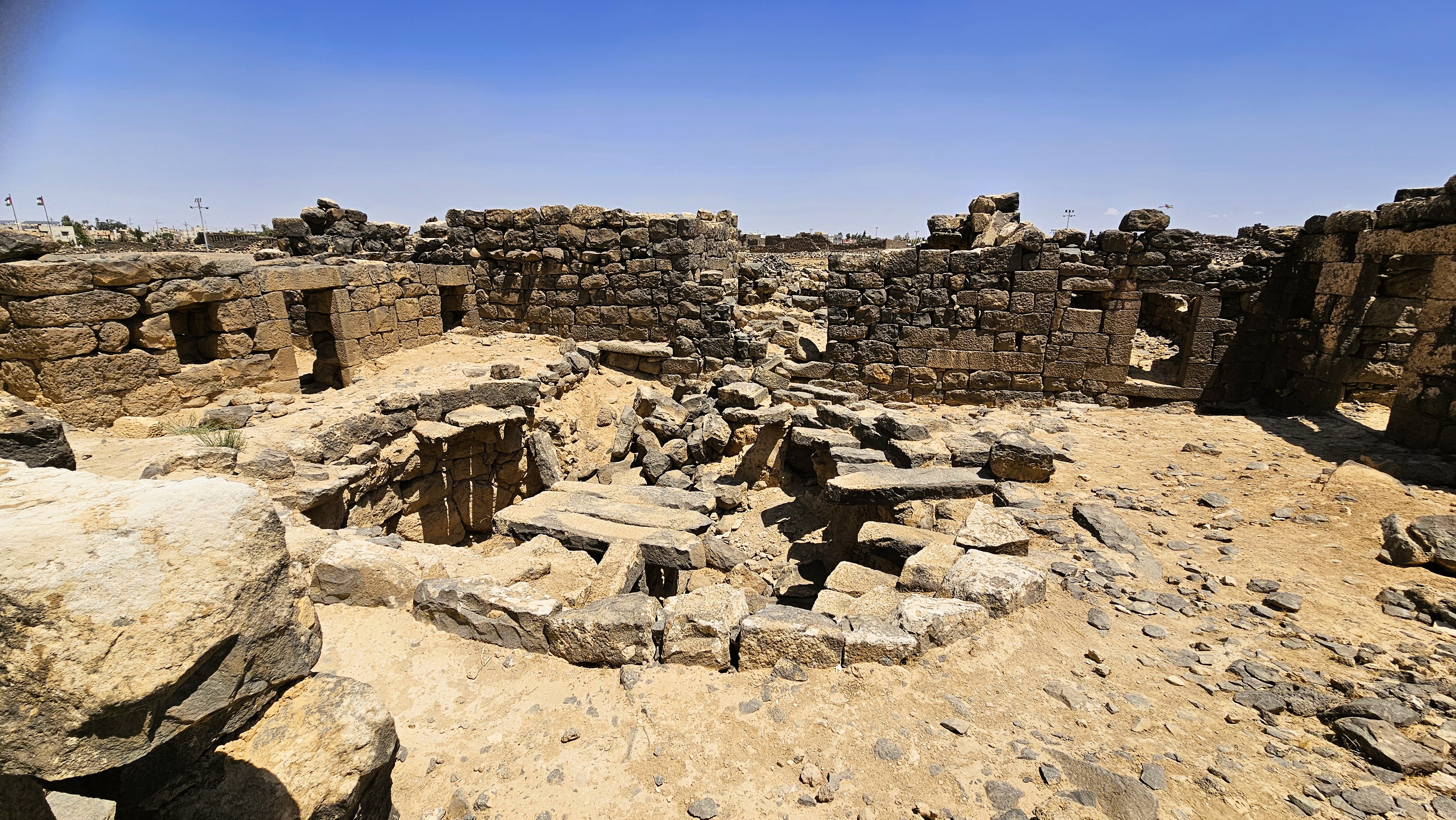
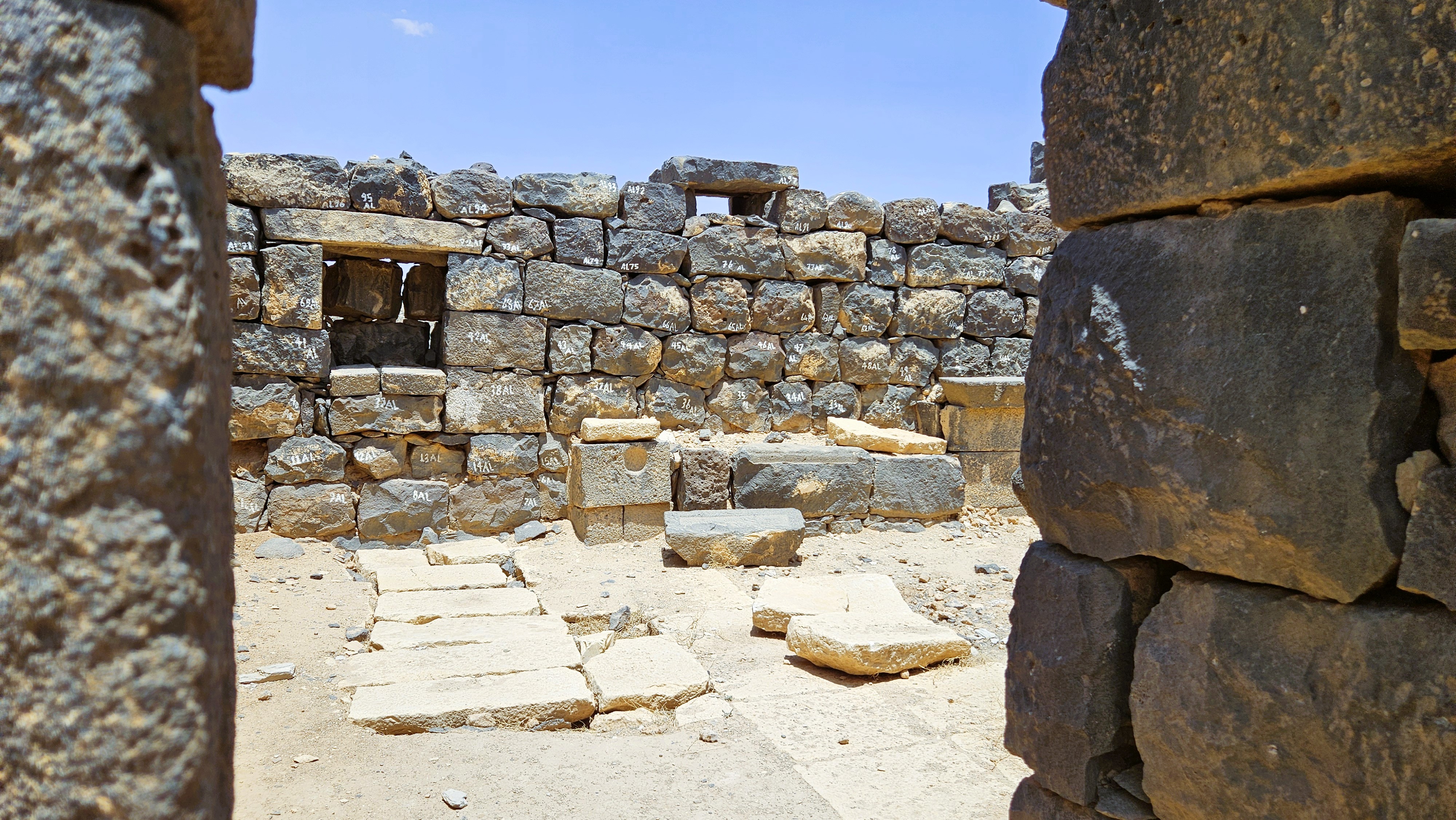
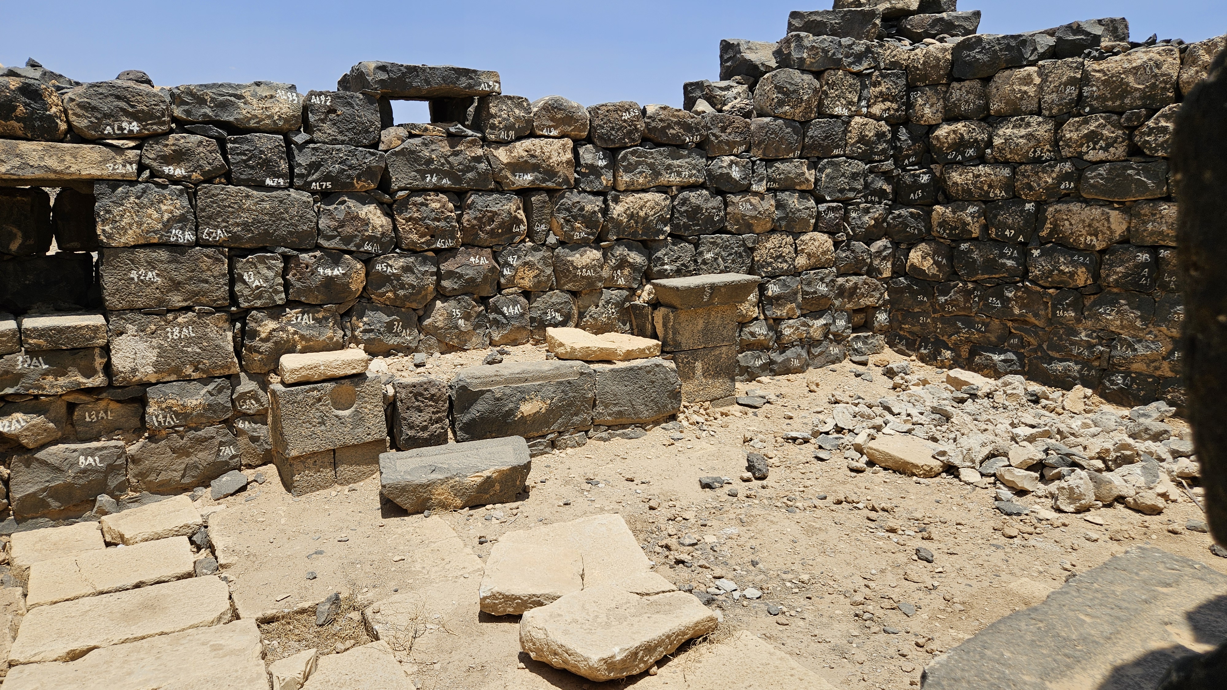
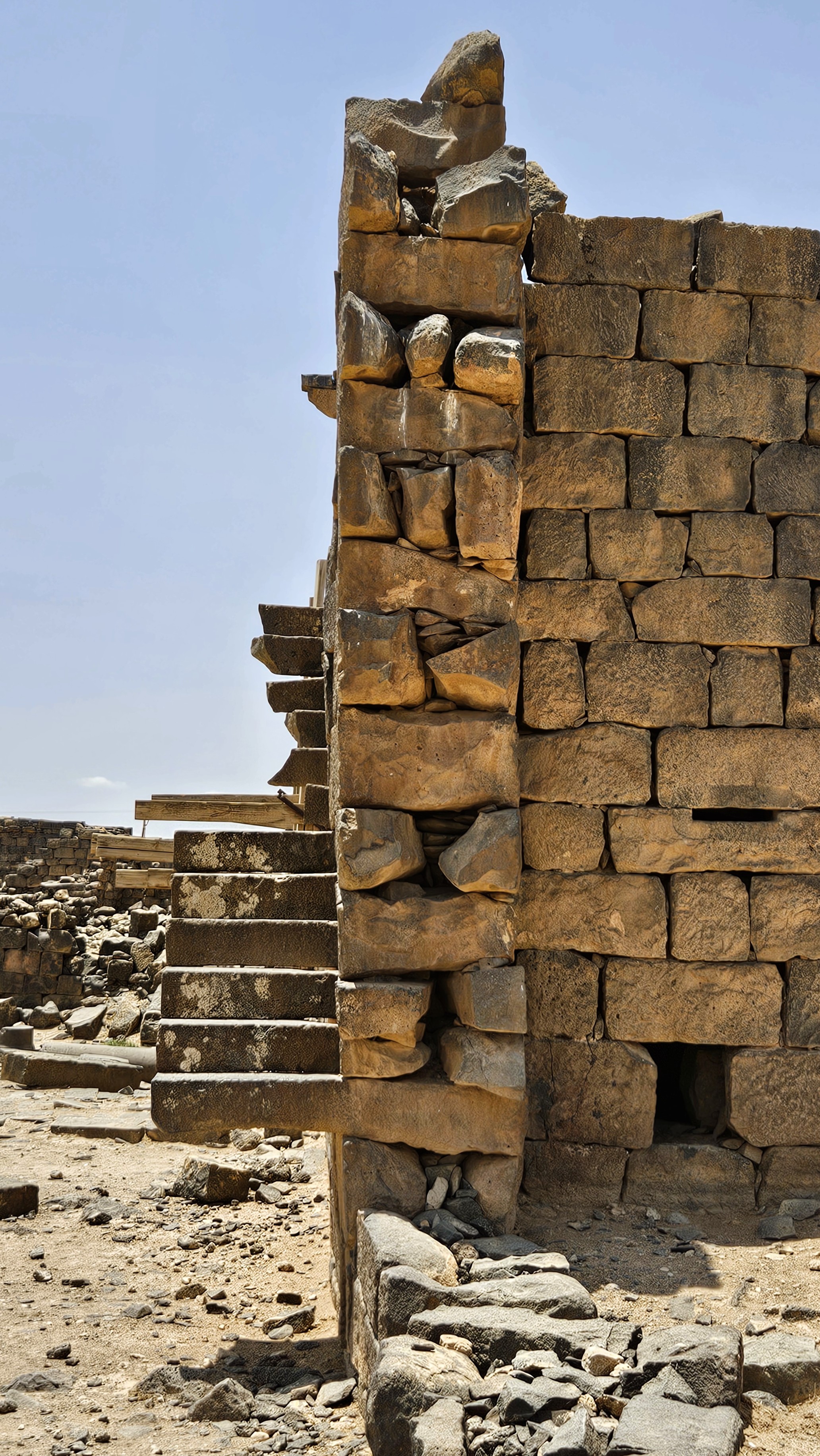
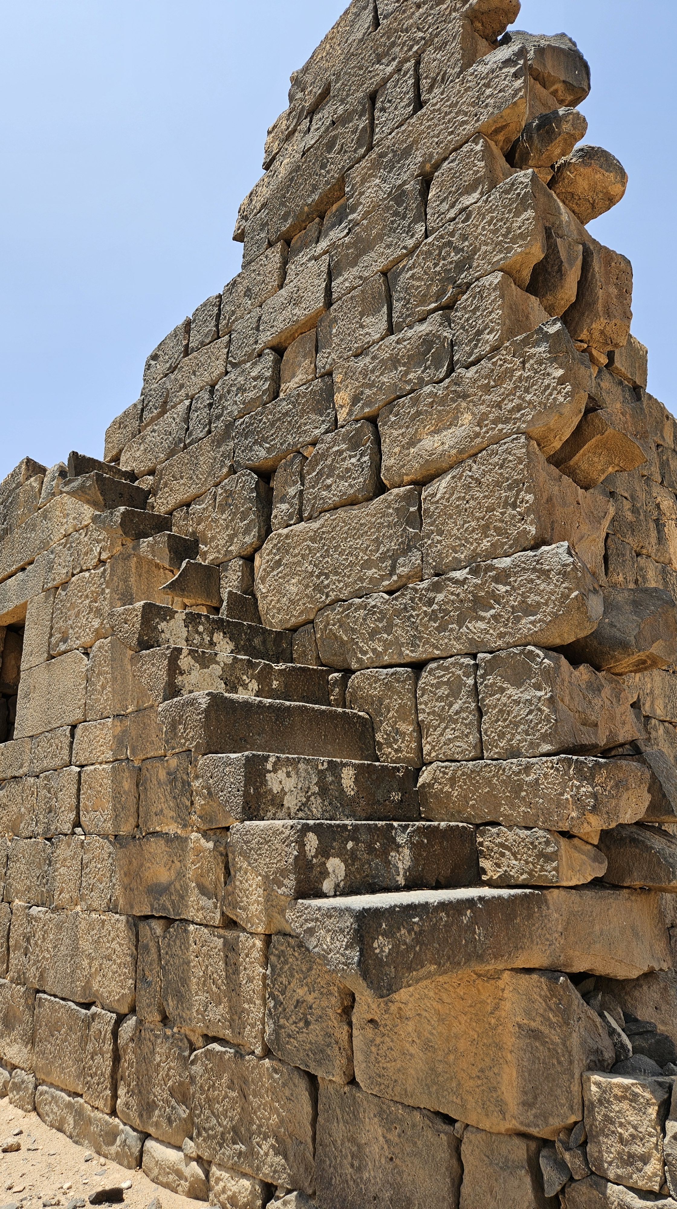
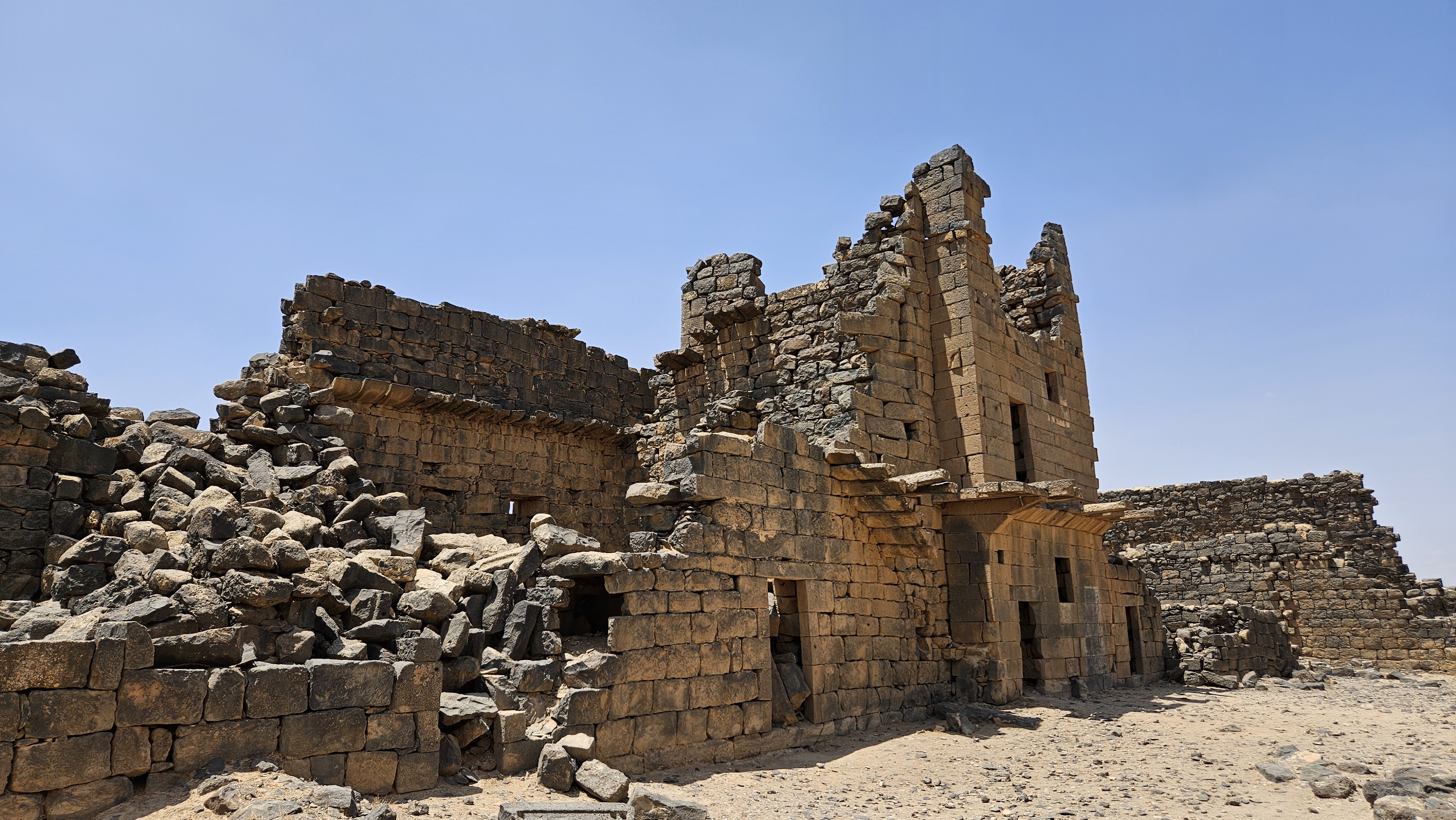
The Cathedral
The church in Umm Al-Jimaal with the largest footprint is known as the Cathedral, though far less of it remains standing than the West Church. Previous archaeological projects have reconstituted the walls around the large apse, as well as the baptistry on the north side. In the three-aisle basilica, only the feet of the columns remain that once supported the monumental arches that carried the vaulted ceilings of the sanctuary and its side aisles.
The Praetorium
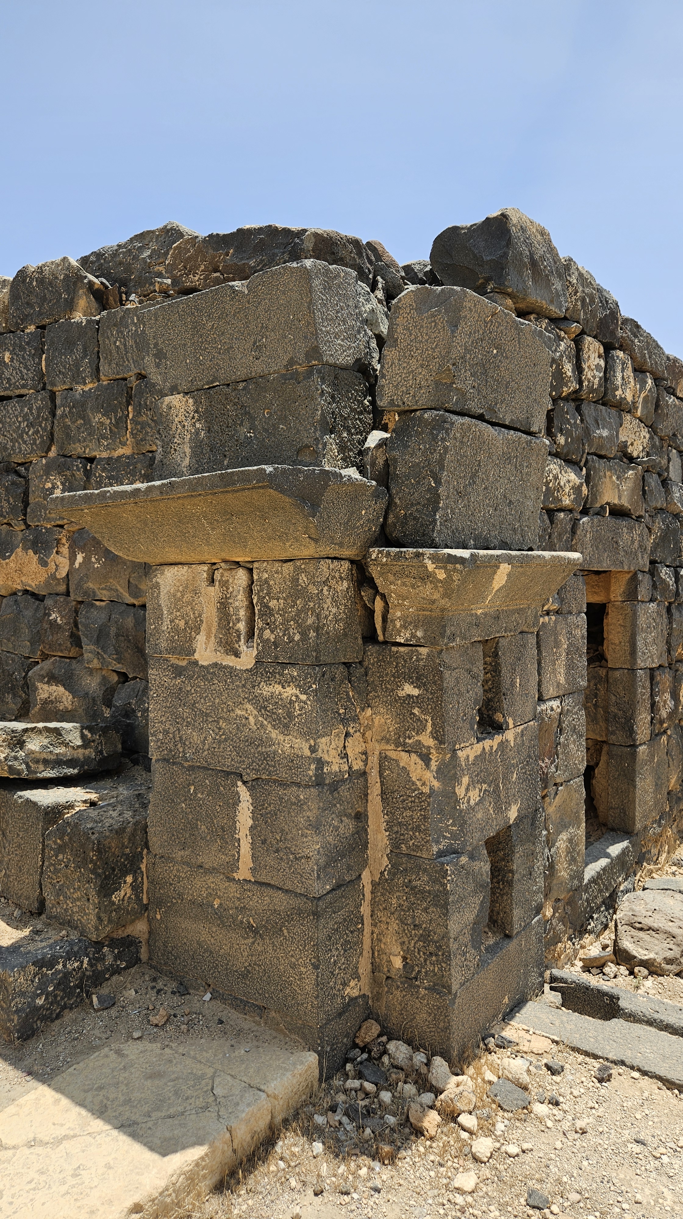
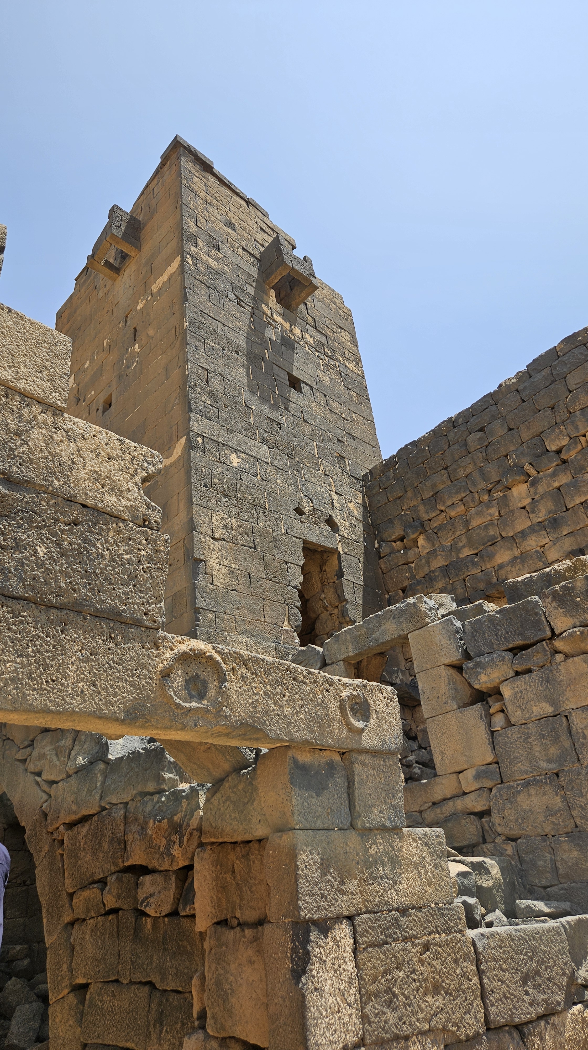
Our archaeologist guide seemed skeptical that this building was in fact a Roman Praetorium, the administrative building that would have hosted the offices of Roman judges, tax collectors and other officials. Our new guide Abed, on the other hand, was very definitive that the room on the right was the Roman administrator’s office, complete with a small bathroom hidden around the corner.
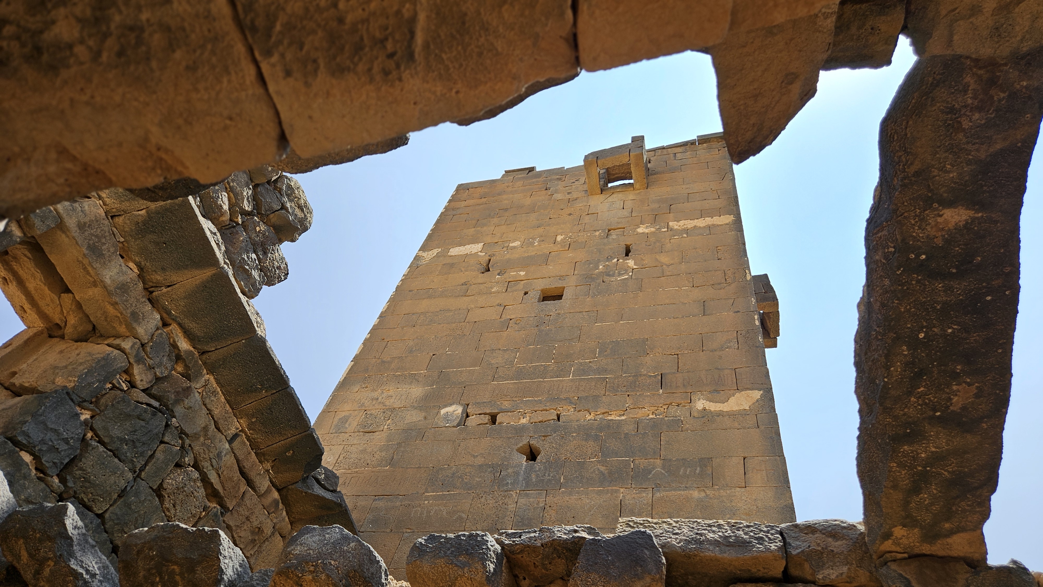
Much of this structure has complete walls and extensive ceilings with windows meant to catch the sunlight at the cooler parts of the day, and funnel the wind through the office on a hot day.
The administrator’s office, Abed told us, was known locally as “Auda’s room,” because it had once been the home of Abed’s grandfather Auda, before the Jordanian government had moved the local families out of the ruins.
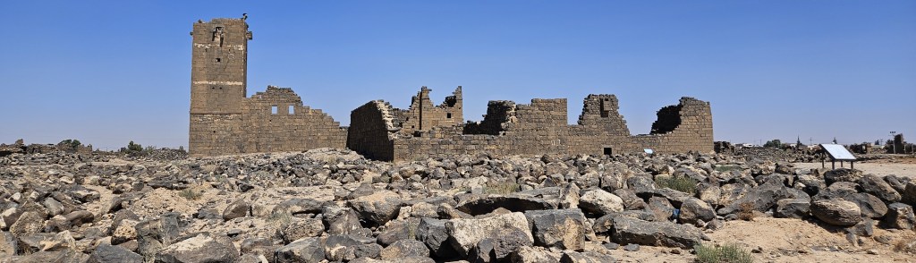
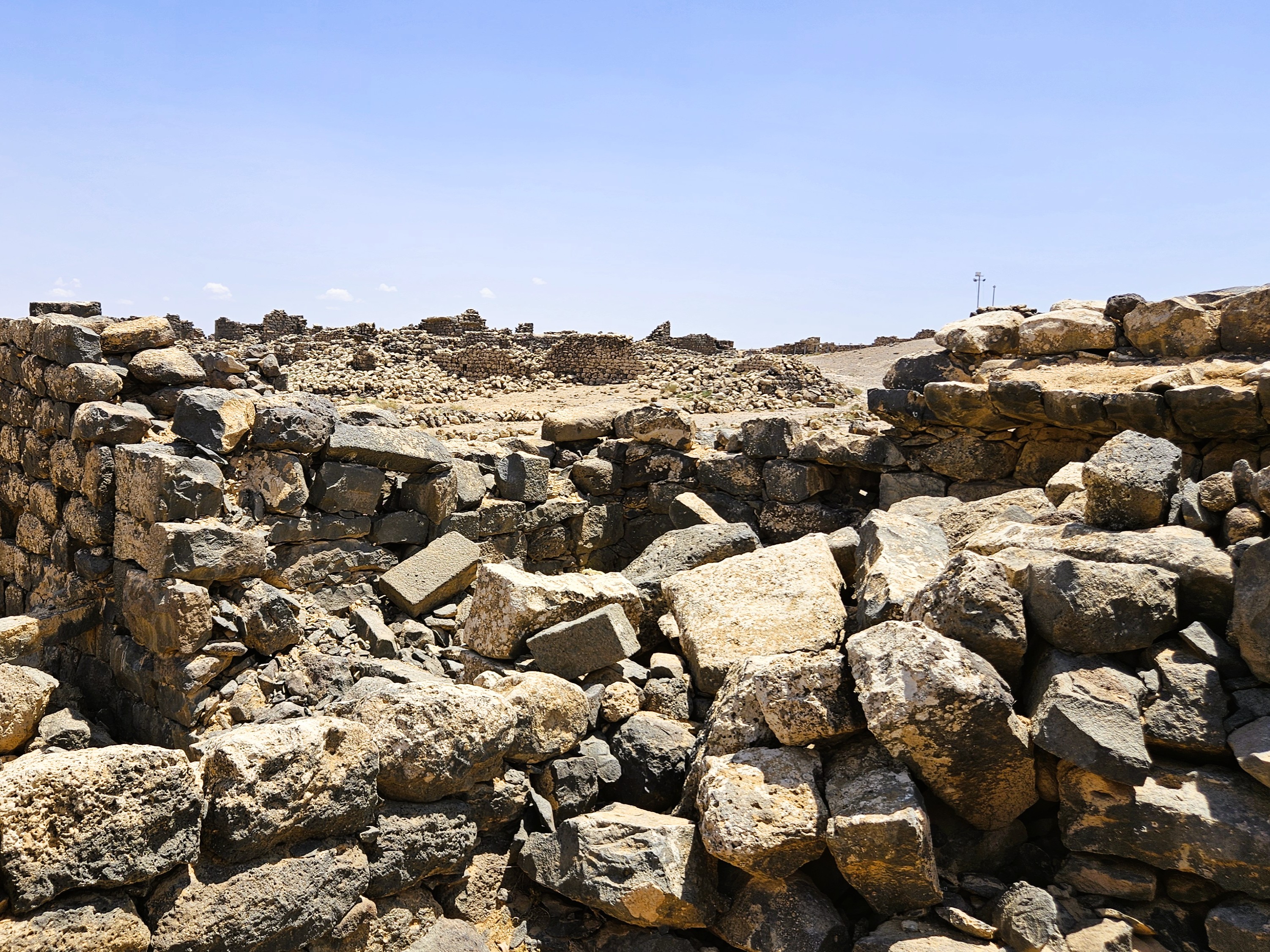
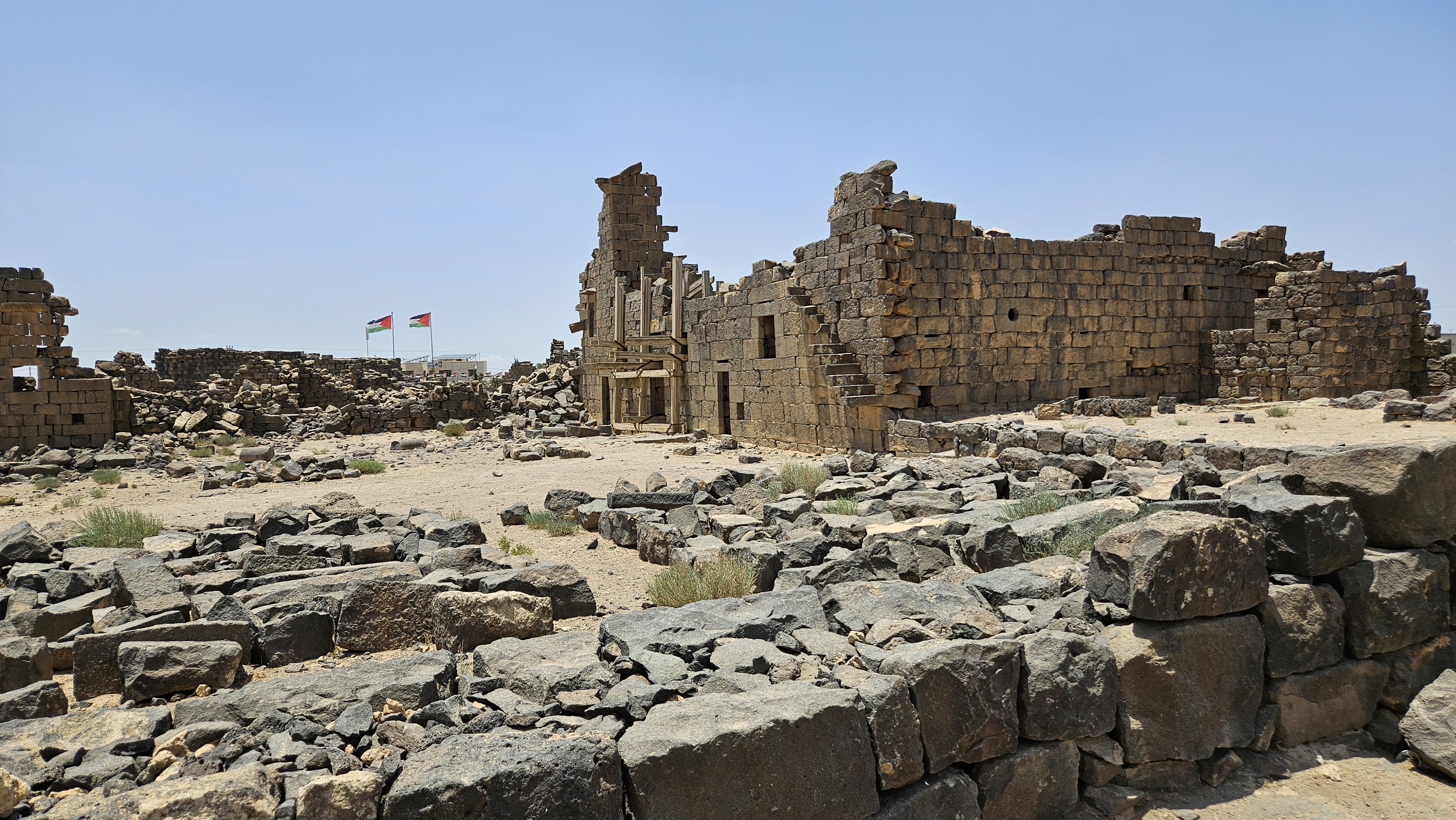
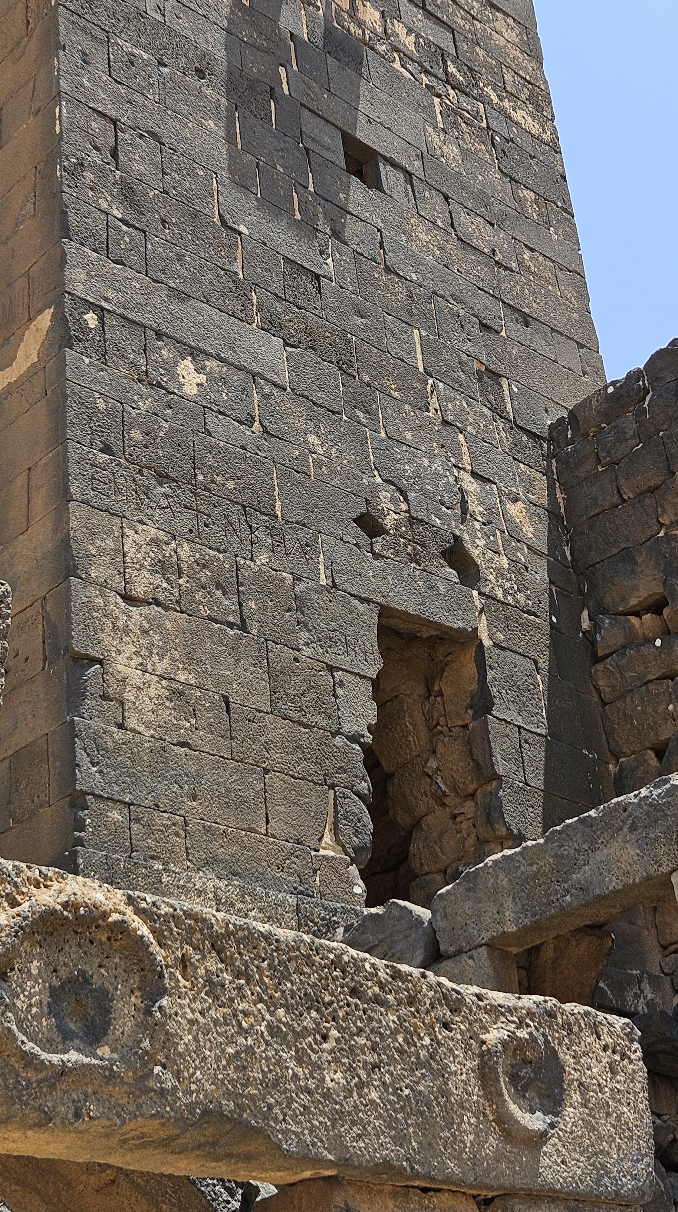
The Barracks
Abed told us more of his cousins lived in the Barracks, during the period after the French military had been billeted there, and before the Jordanian government moved them and their livestock outside the Byzantine city walls.
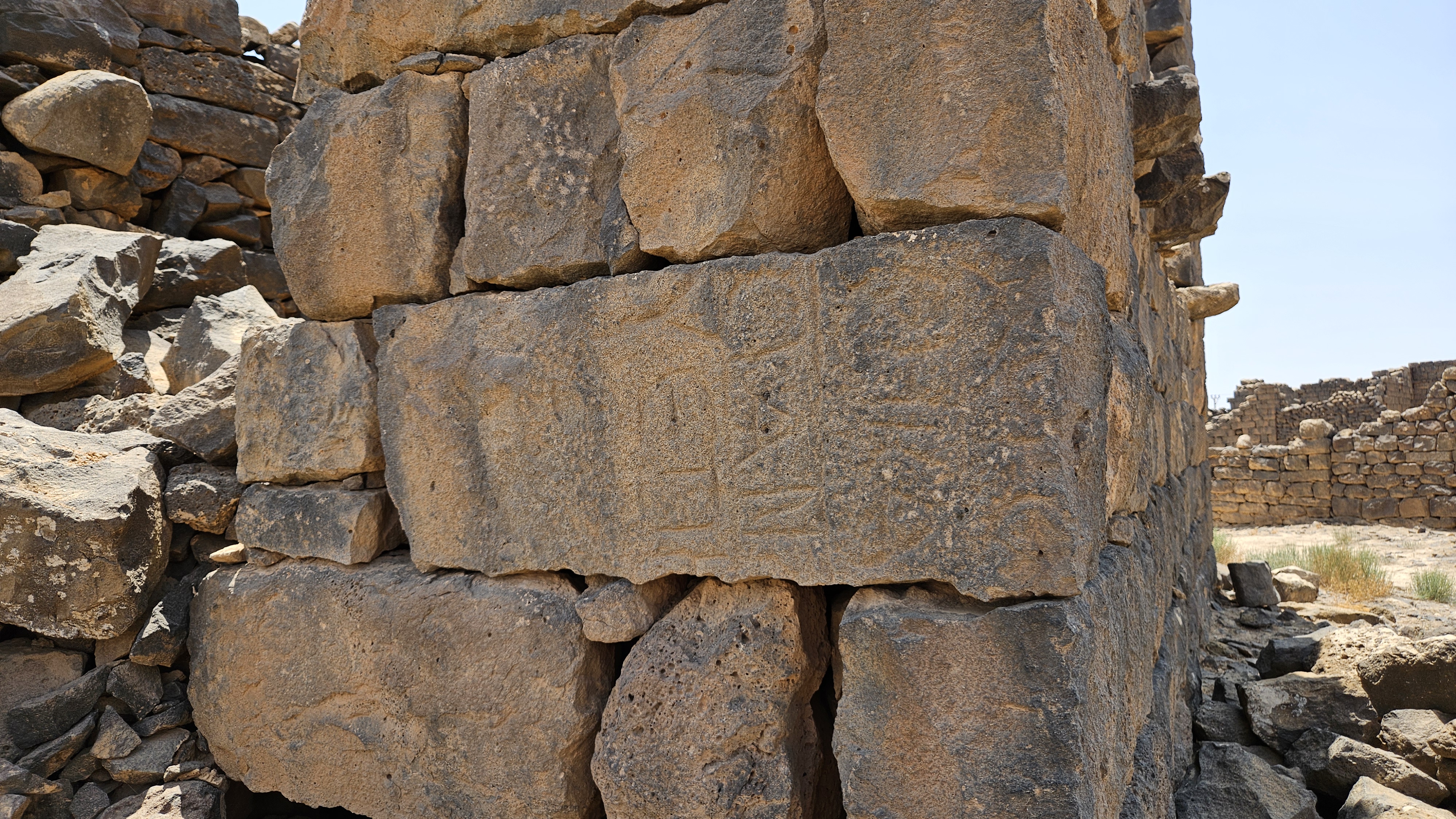
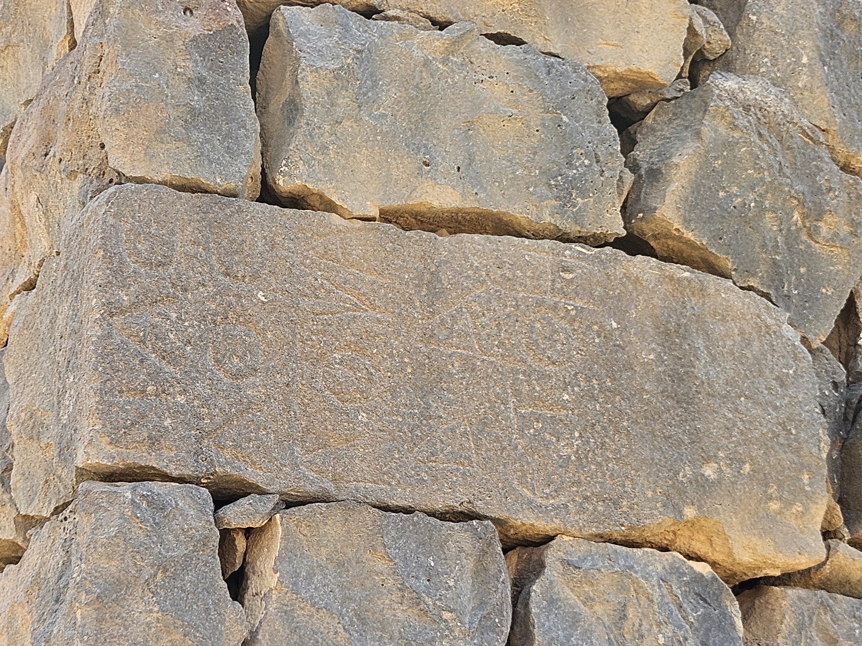
There are several places on the Barracks wall where stones show Greek and Nabatean inscriptions, likely recycled blocks from other, earlier constructions elsewhere in the town. Additional Greek inscriptions in the tower, as well as carved Greek crosses, were meant to protect the fort.
Altogether, our tour of Umm Al-Jimaal, “the Mother of Camels,” was fascinating and informative. The site is so large and extensive that I hope to visit again and again to see more. We barely even got a glimpse of the museum, though we had a nice sit-down with Samar, the lead local guide of the site.
As I said to Samar over tea, I really appreciated the atmosphere they’re building at Umm Al Jimaal. One of the things I loved about visiting archaeological parks in Jordan 20 years ago, aside from Petra, was that Jordanians were around to give explanations if you wanted them, but they didn’t hassle you. Umm Al Jimaal is the kind of quiet place that I remember Jerash and Umm Qais and the Desert Castles being years ago, but with the added bonus of the local community being invested in the site and its preservation and explanation. Samar agreed that having guides available but allowing tourists to decide whether to seek help or explore on their own is a core principle in how this site is run.
I definitely recommend a visit if you have the opportunity!

Leave a comment