
The history of Jordan runs deep, from prehistoric early man and the dawn of agriculture, to Biblical kingdoms, to Persian, Arab and Turkish empires, to the British Mandate and the modern Hashemite Kingdom. Last week, we saw that history play out around the Azraq Oasis, this week, all that history is perched on a cliff’s edge with a phenomenal view.
The Fortified

In the late third century BCE, the Macedonian Greek hegemon Alexander the Great and his forces rolled through the Levant on his way east into India, where he was stopped only by the revolt of his own army, so far from home. To Alexander’s Macedonians is attributed the founding of the city of Gadara, but the name isn’t Greek; it comes from an older Semitic language, and means “the fortified place,” suggesting that the earliest residents of this cliff’s edge are lost to the mists of time. It was seen by every force that passed through the region as a key military stronghold, an important defensible rampart, which the Greek historian Polybius’ described in 218 BCE as a fortress and “the strongest of all places in the region.”
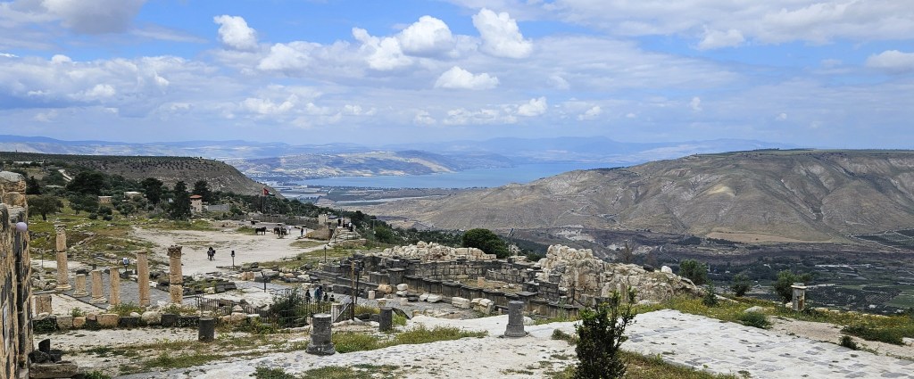
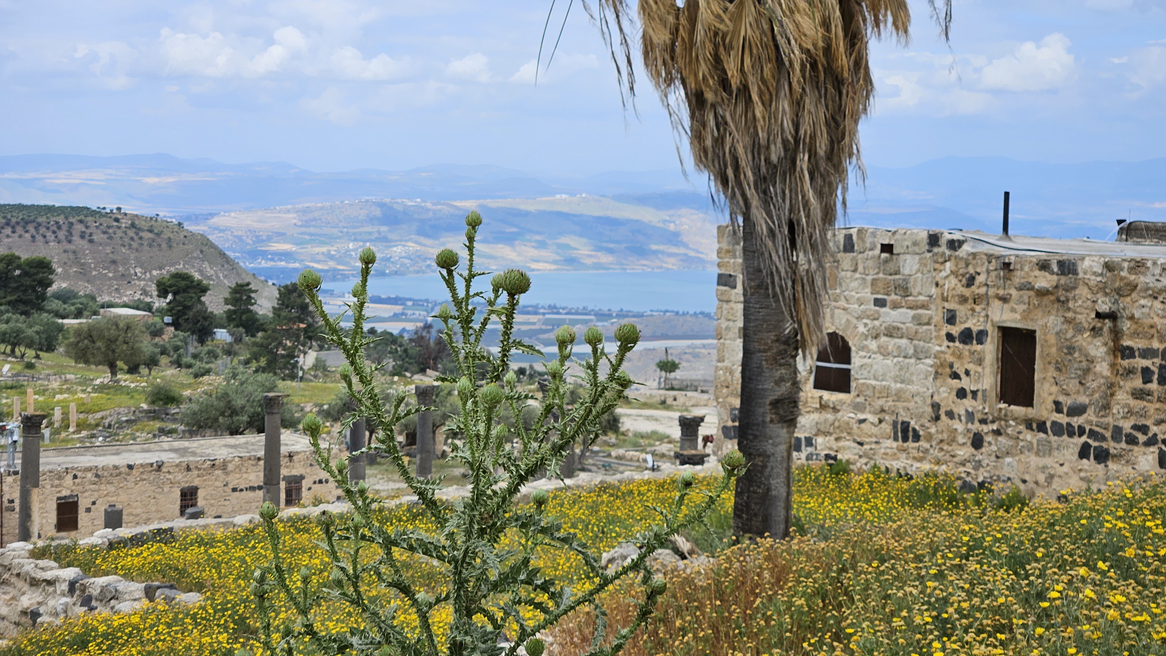
On a clear day like today, Gadara occupies an arresting perch high above the mouth of the Yarmouk River, the foot of the Golan Heights, Lake Tiberius (i.e. the Biblical Sea of Galilee), and the headwaters of the Jordan River. On an even clearer day, the snow-topped Jabal Sheikh and even the mountains of Lebanon can be visible.
This made this a prime piece of real estate, and ancient Gadara was attacked and sometimes conquered by a long and distinguished list of Middle Eastern dynasties: Persian Seleucids, the Hasmonean, Iturean and Nabatean kingdoms, King Herod, the Romans, and the first Muslims.
Classical Gadara
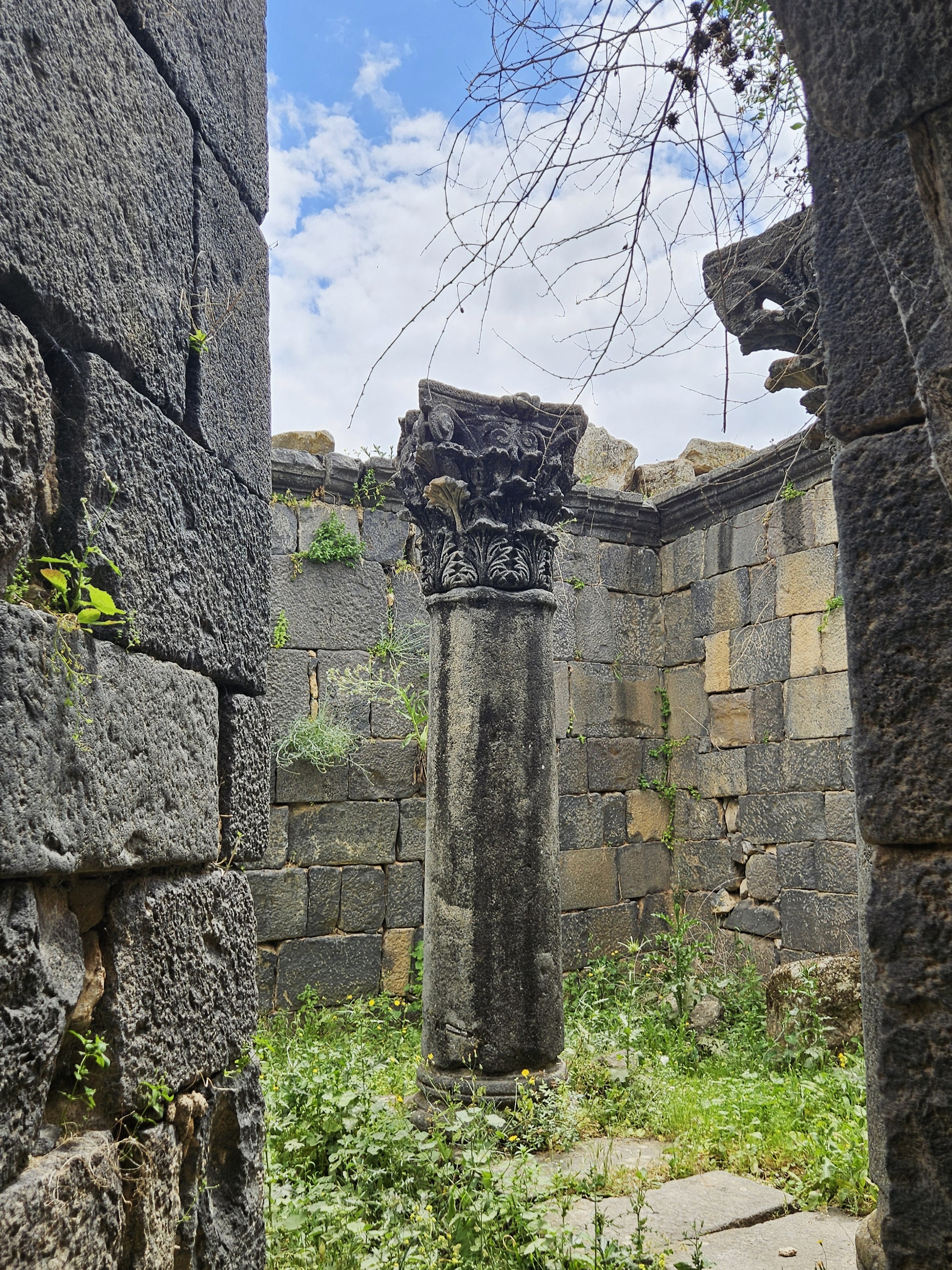
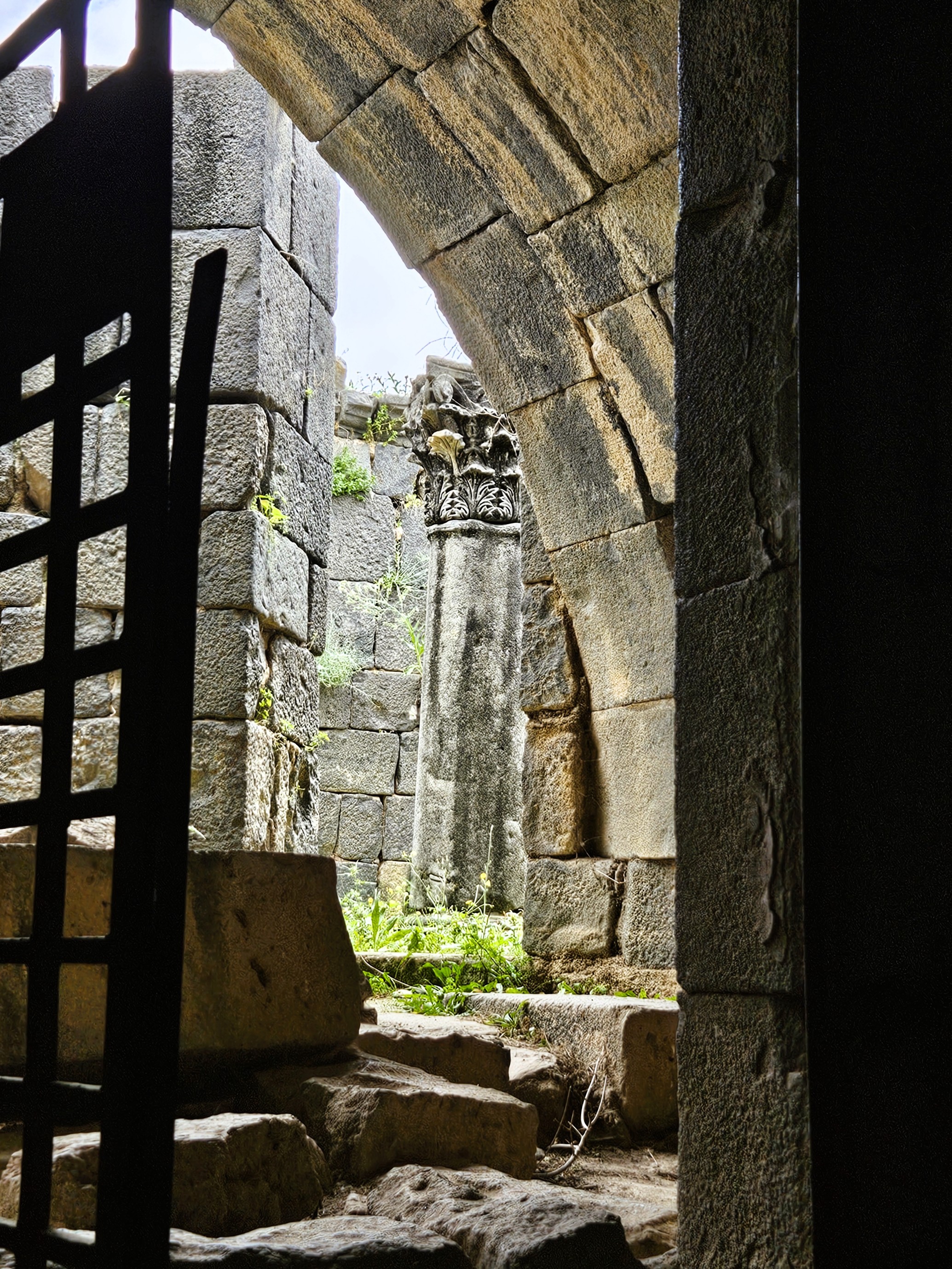
Perhaps the height of Gadara’s prosperity was in the period of the Roman Empire, when it became part of the Decapolis cities. Decapolis is Greek for “ten cities,” though the actual number in the league varied between eight and sixteen over time, and there may or may not have been a formal league or affiliation between them.
What they had in common is that they were predominantly Greco-Roman cities in a region mostly populated by Jews, Arab Nabataeans and Arameans. Being at the crossroads of the eastern and western world, straddling the Silk Road trade between China, India and Europe, the Decapolis cities were also important as marketplaces and for tax collection. This would have also meant they were hubs of cultural exchange, where peoples of the east encountered peoples of Europe and the Semitic peoples of the region, where they talked and shared libations and meals, temples and lodgings.
That’s the part I most like to imagine when I visit a place like Gadara. To imagine the kinds of conversations and interactions that took happened in a place like this street of merchant shops.

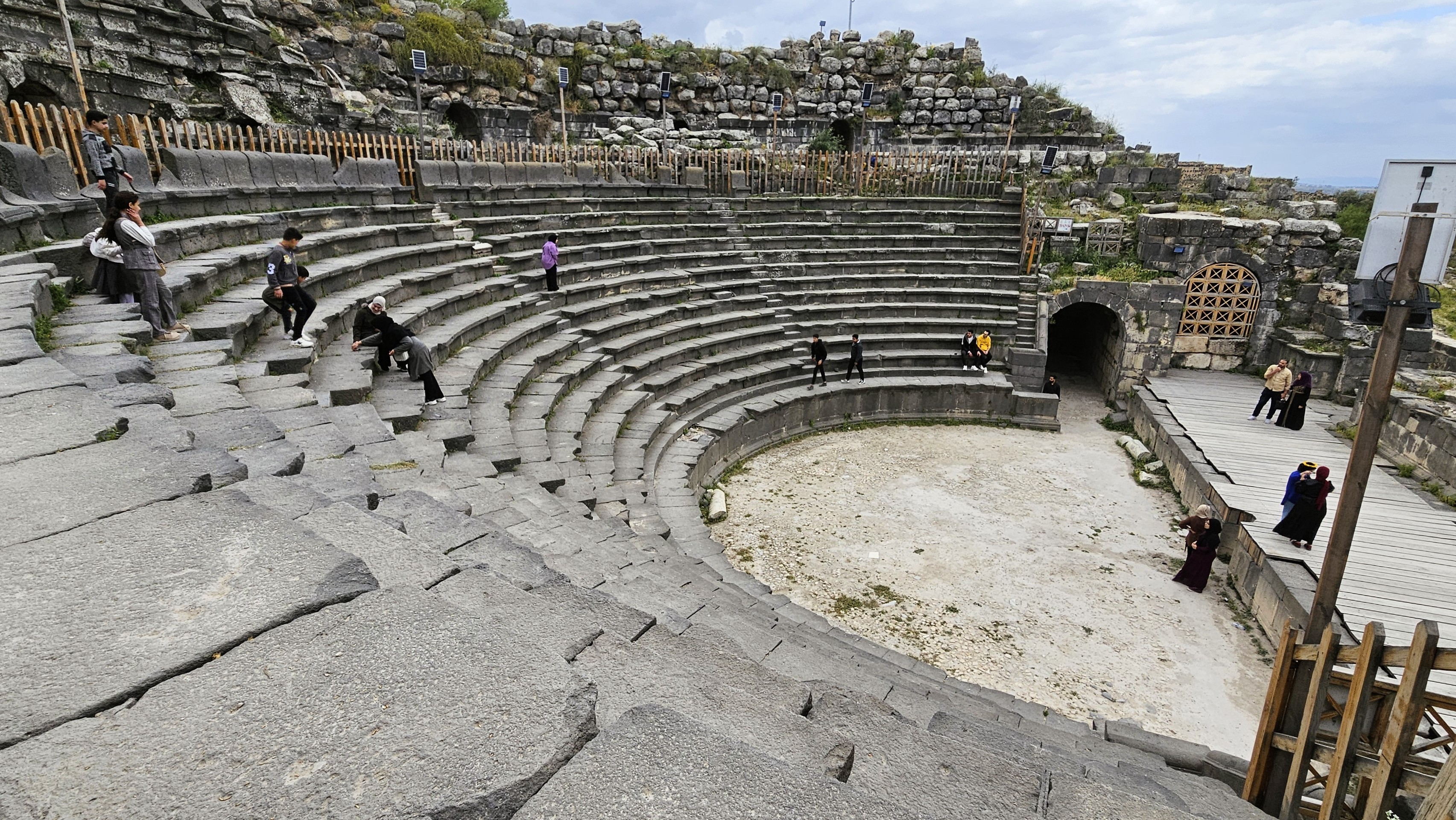
Or what they looked like and sounded like mingling and sharing entertainment in Gedara’s gorgeous, almost fully intact basalt theater.


There was a mixed crowd there today. I’ve never seen Gadara teeming with so many Jordanian families, some of them in traditional embroidered thobe, even grandmothers with an older style of dress, a black gauze wimple tucked into a deep vee neck dress, others in modern dress. I overheard a British family, and of course I was there with our Fulbright crowd of American and Jordanian graduate students.
As Mr. Fellow and I were taking pictures from the foot of the basalt theater, I could hear a couple girls whispering in Arabic behind me, “Ask her! Just ask her! Speak English.” So I wasn’t surprised when they came up from behind me and asked me where I was from. They were surprised when I answered in Arabic – “Where did you learn to speak Arabic like that?” – and that I had learned a local rural dialect and had been to Umm Qais many times before.
Was it like that in the Decapolis days? People from opposite ends of the world having ordinary little encounters, first in one language, then in another, one party coming away surprised, the other amused, each having been surprised by some small detail in the exchange.
Byzantine Mukais
Early in the fourth century CE, the Roman Emperor Constantine converted to Christianity, which had been illegal in the Empire, and his successor made Christianity the official religion of the Roman Empire, but Rome was already losing its grasp on some of its more far-flung territories like Syria Palaestina and the cities of the Decapolis.
The church in Constantinople, however, was able to retain control of the eastern parts of the Roman and Christian worlds, which became the Byzantine Empire. In that period, many formerly Greco-Roman temples and other buildings were converted into churches or basilica, such as this one at the end of the street of shops in Gadara.


Gadara was also the destination of a minor Christian pilgrimage. It’s said in the Bible that Jesus of Nazareth, having just crossed the lake from Galilee, came upon a man possessed by demons. In one of his early miracles, Jesus cast the demons out of the man and into a herd of pigs, who ran down into the sea and drowned.
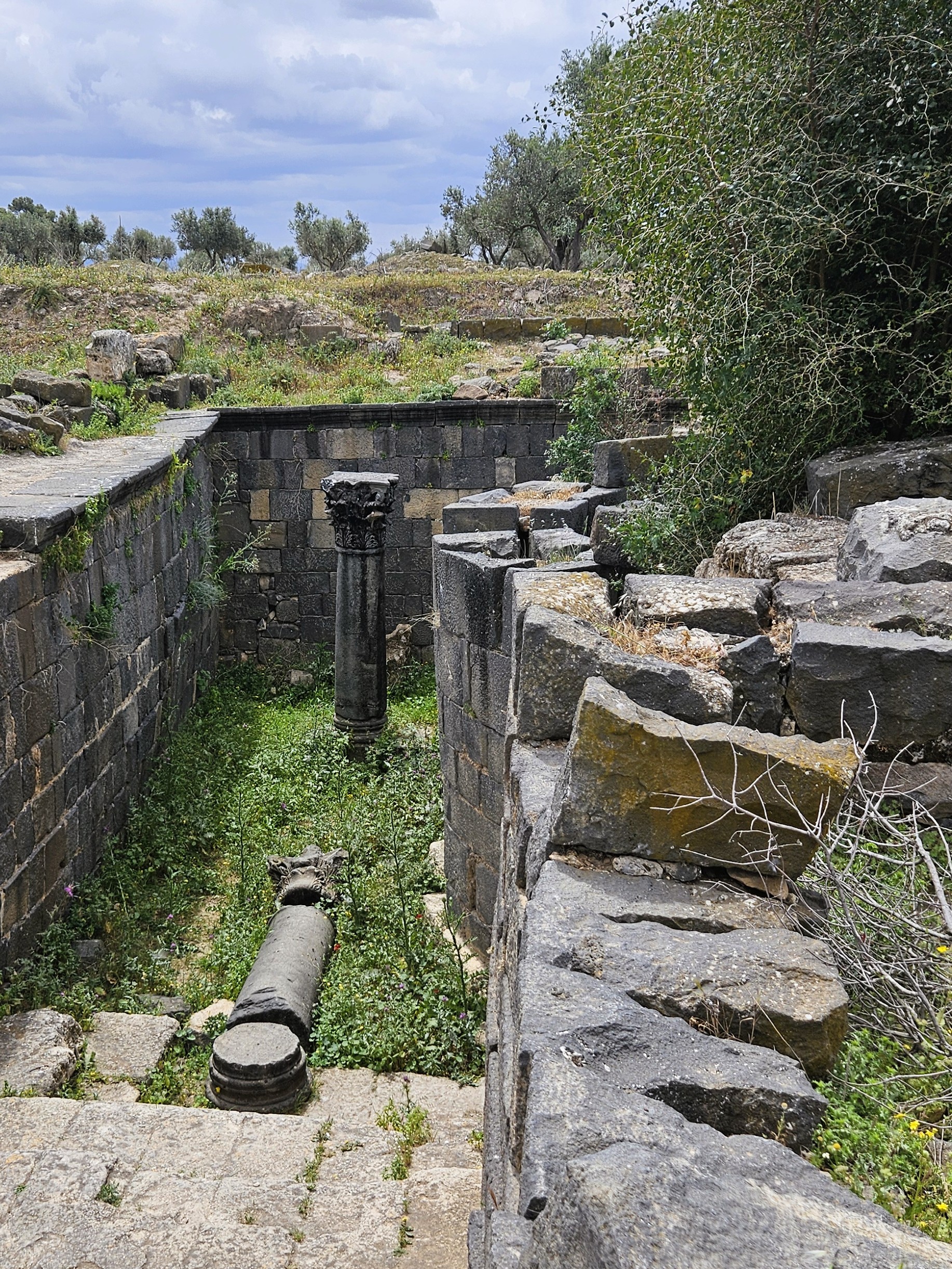
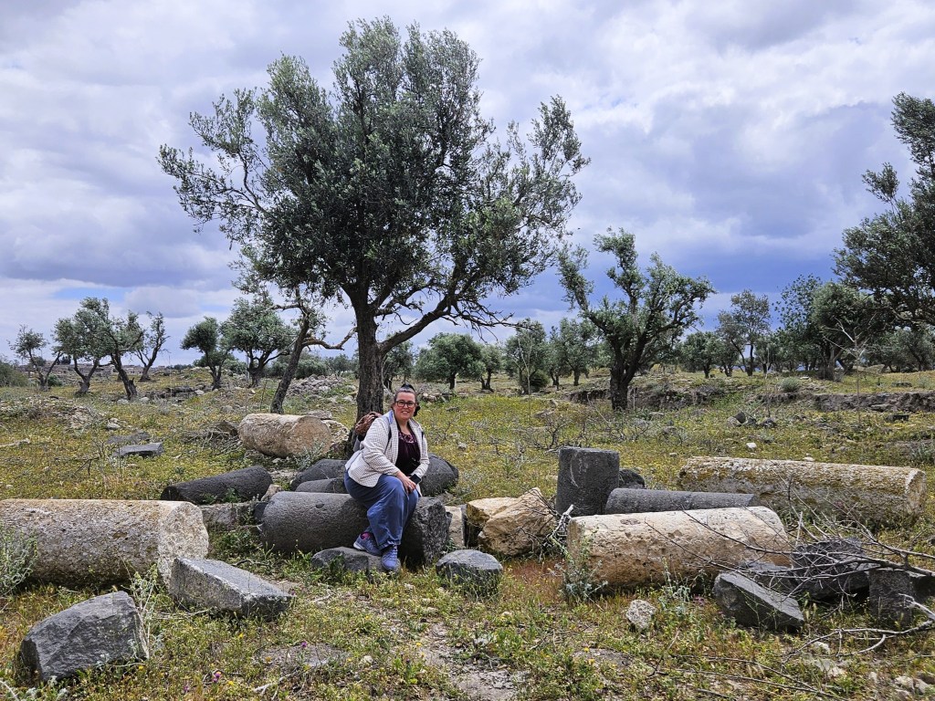
The largest of Gadara’s churches is just a foundation now, some way down the Decumanus Maximus that was the main east-west axis and grand colonnaded street of Gadara. The five-aisled basilica was built atop a much older underground mausoleum and hypogeum, which happened to be open on our visit.


The eighth century Galilee earthquake was so devastating that it engendered a Jewish fast day (the “seventh earthquake”), and destroyed a great deal of Gadara and all the Decapolis cities. But while some Syrian cities slid right off their mountainsides in the disaster, Gadara remained on its cliff’s edge. By the eleventh century, many of Gadara’s churches, including the five-aisled basilica, had been rebuilt.
Ottoman Mkes and Jordanian Umm Qais

It was in the Byzantine Christian period when the hilltop community began to be known as Mukais, meaning “border place” or “customs house” in the local dialect, but its population dwindled to just a handful of herdsmen. Then the region passed into Ottoman hands, and was re-established as a village on the footprint of the old Roman foundations, and the community became noted in tax records as Mkes. From this, we eventually get the modern name Umm Qais, meaning “mother of Qais,” a boy’s name derived from “measurement,” meaning “hard” or “firm,” a linguistic back-formation that nonetheless brings back both the idea of fortification, and of trade and taxation.
Under the Ottomans, Mkes was considered part of the province of Syria, its residents having come down from the north, the Golan Heights and as far as the city of Der’a, another former Decapolis city. Now it was entirely Arab in character, a small town of shepherds and farmers and craftsmen.
The Ottoman Empire collapsed in World War I, aided by Lawrence of Arabia, as noted last week, and in the 1916 Sykes–Picot Agreement between the Great Powers, a line was drawn down the Yarmouk River, between the Syrian Golan to the north and the British Mandate of Transjordan to the south. The residents of Umm Qais were no longer Syrian, but took on the new identity of Jordanian.
The Arab response to that division was coordinated at a meeting in Umm Qais, and the first king of Jordan established one of the kingdom’s first schools there. During the 1967 war, its clifftop vantage point was used by the Jordanian Army, which was when some of its ancient foundations were rediscovered.

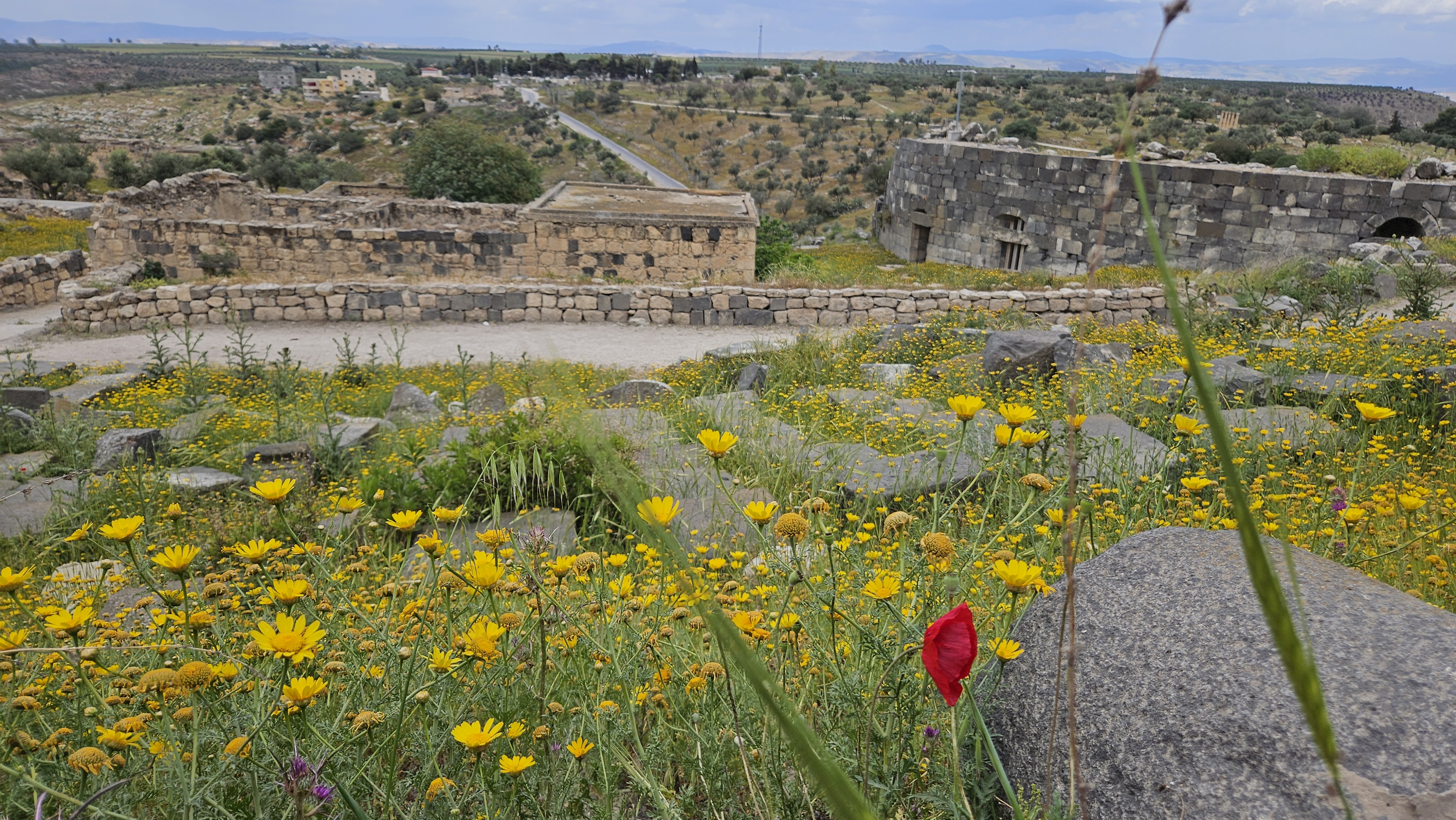
Many of the Ottoman buildings are still fully intact, including one that housed a school for refugees from the West Bank after the 1967 war. They remained inhabited until the Department of Antiquities moved the families out in the 1980s, and some of the Ottoman buildings house museum space today.
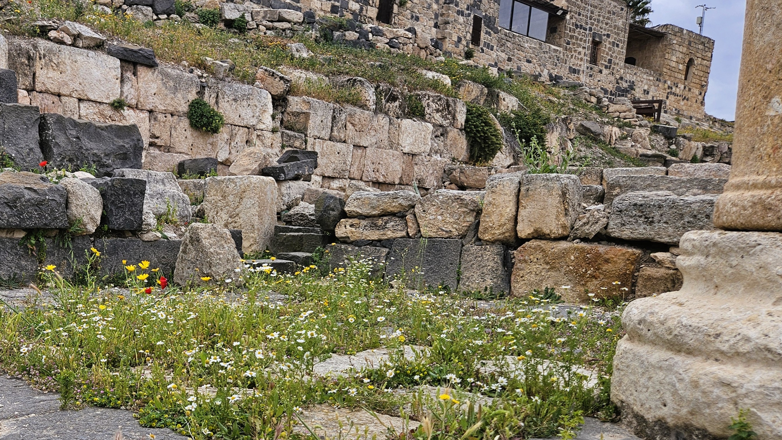
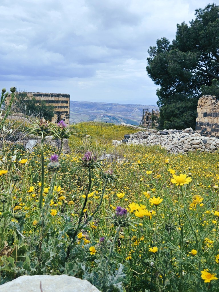
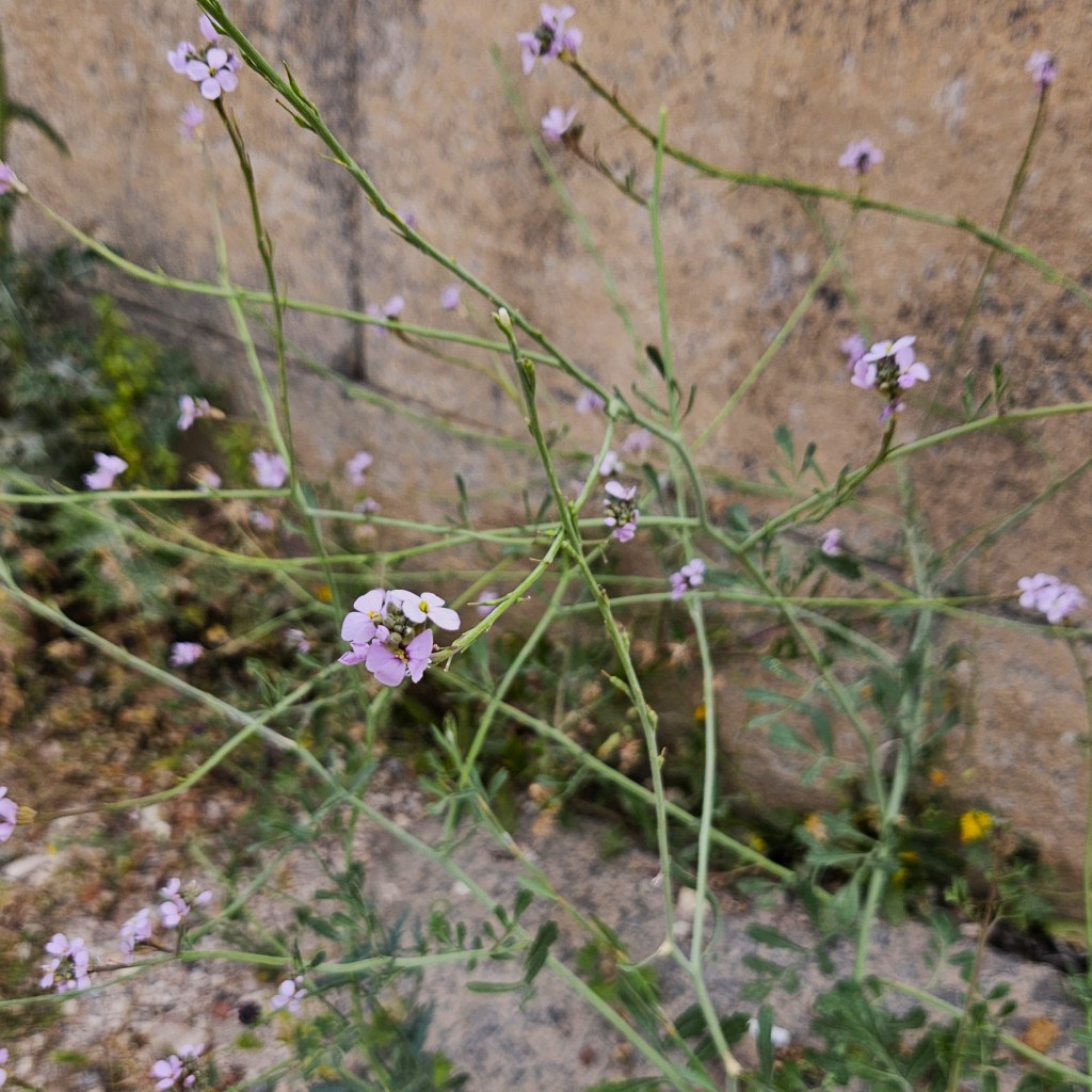
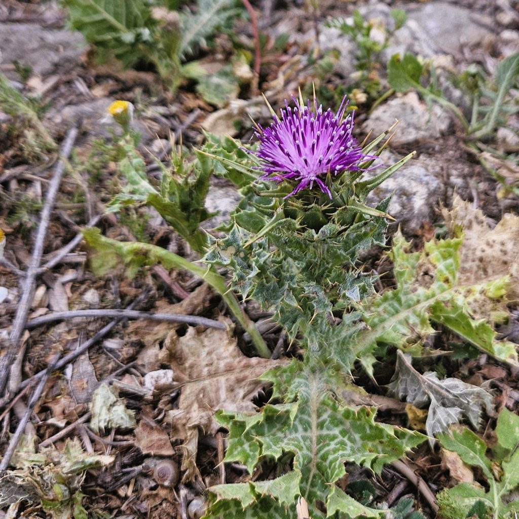
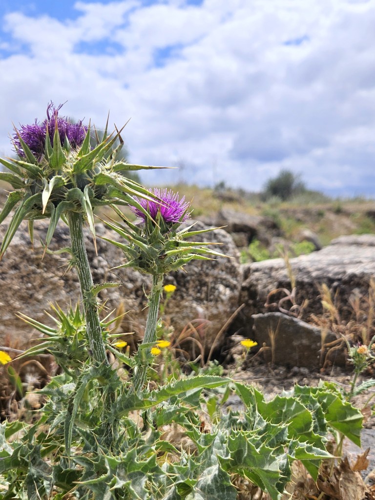
Flowers of Umm Qais


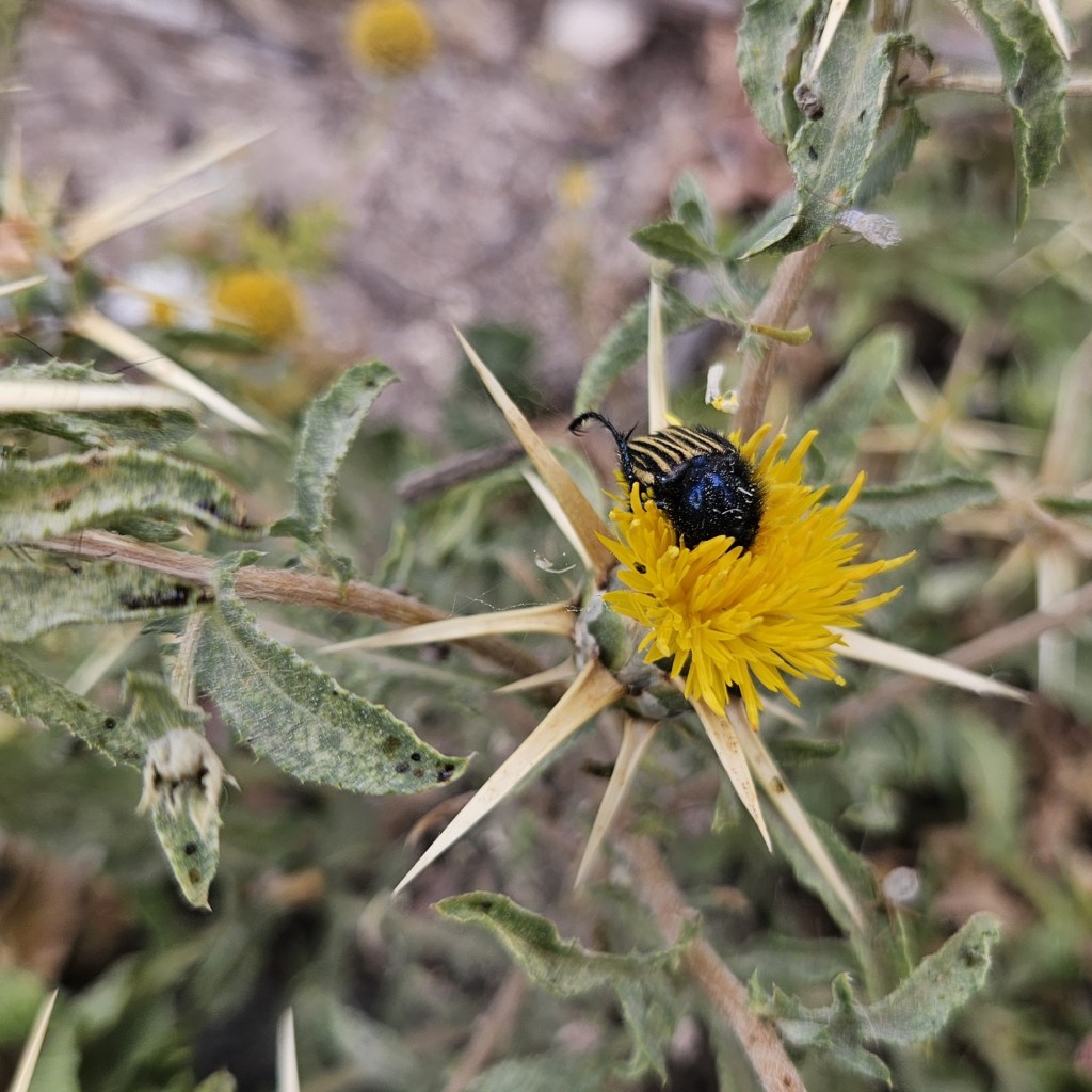
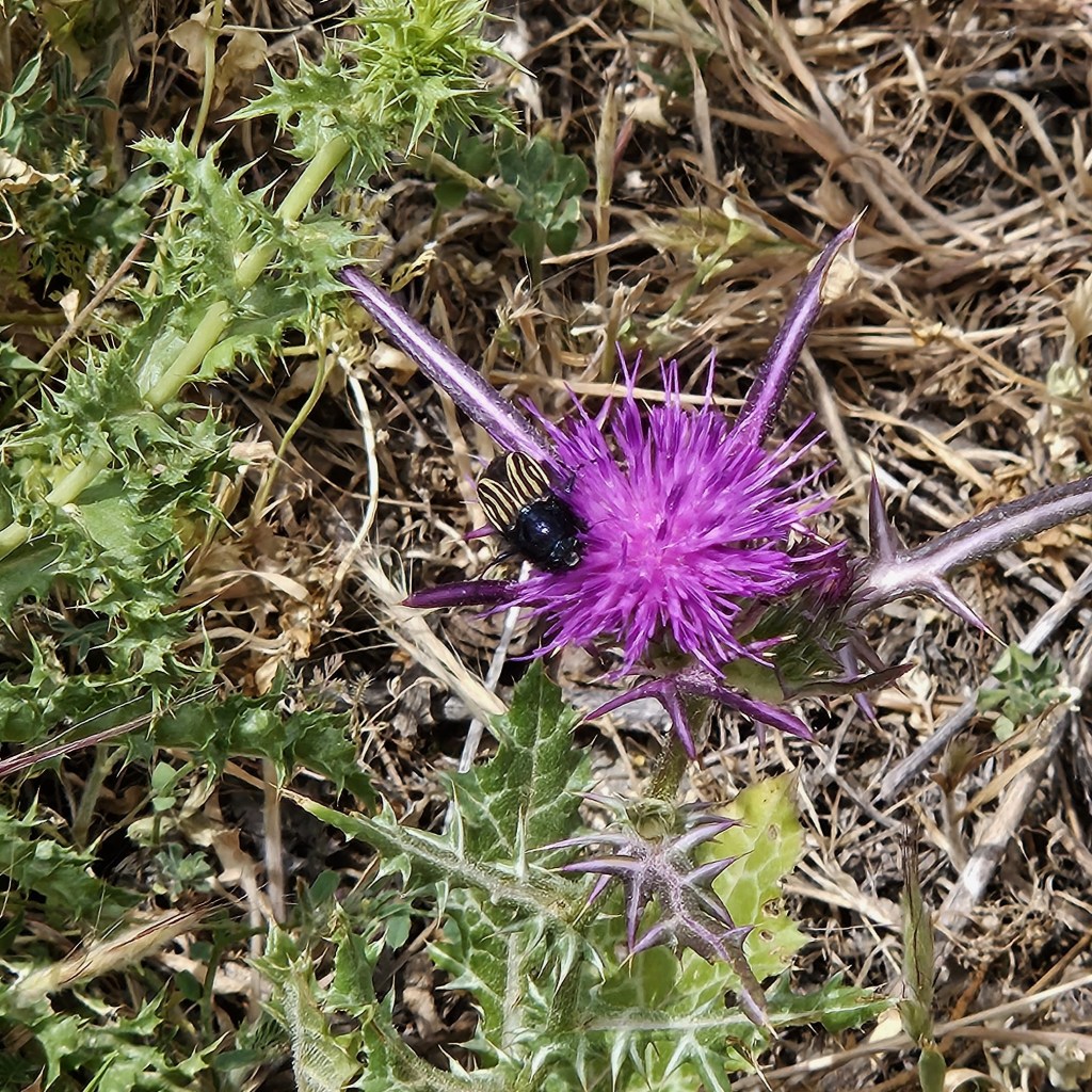
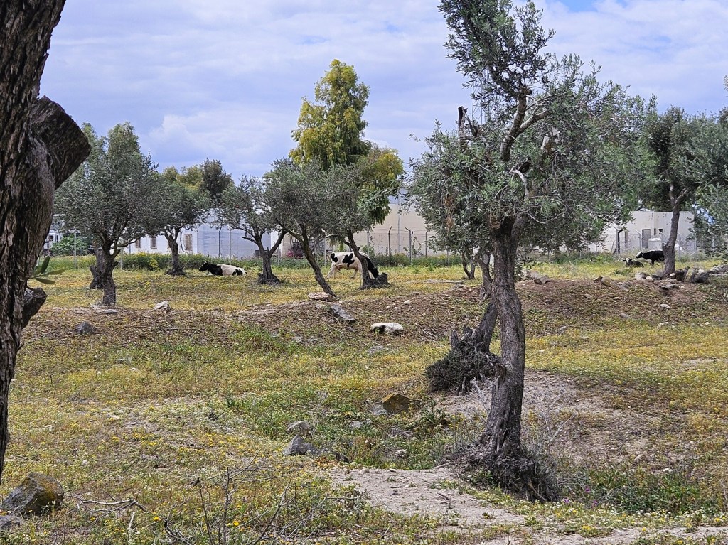
Critters of Umm Qais
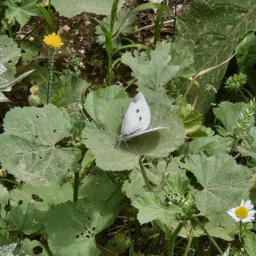


I think I also saw a Painted Lady butterfly, but it’s incredibly difficult to catch a butterfly on camera!
And while we saw lots of swallows (also hard to catch sitting still), and heard lots of birds, we didn’t get any definitive sightings. I guess we’ll have to go back!

Leave a comment